Elevation: 8,340 ft
Prominence: 360
This peak is not in the book. Published October 2025
Sage Hen Benchmark sits north of Grouse Peak on a high ridge in the northern Pahsimeroi Mountains. It is most easily climbed from a nearby 2-track ridge road (FSR-111). USGS Grouse Peak
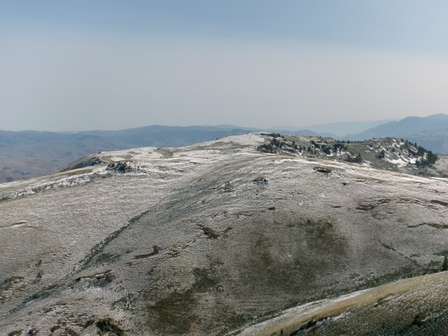
Sage Hen Benchmark (dead center) as viewed from Grouse Peak to its south. Livingston Douglas Photo
Access
Same as for Grouse Peak. Hike (or drive) north on FSR-111 from Grouse Peak all the way to the crest in the road as it skirts the east side of Sage Hen Benchmark.
Southwest Ridge, Class 1
The Climb
From FSR-111, bushwhack north up through sagebrush to reach the Sage Hen Benchmark. However, the high point seems to be about 100 feet or so northeast of the Sage Hen Benchmark (official LOJ high point). The benchmark location looks (and measures) about five feet lower than the actual high point. The USGS benchmark is gone but I built a summit cairn atop the official summit near the spot where the benchmark used to be.
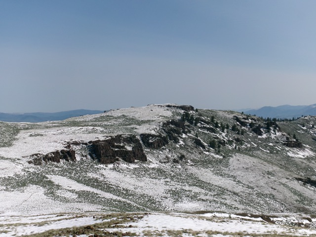
The summit hump of Sage Hen Benchmark (center) as viewed from the south. My ascent route follows the ridge left of center. Livingston Douglas Photo
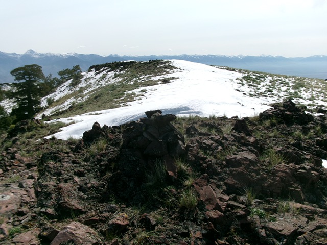
The newly-built summit cairn atop Sage Hen Benchmark with the [likely] high point behind it. Livingston Douglas Photo
Additional Resources
Regions: EASTERN IDAHO->Lost River Range->Pahsimeroi Range
Mountain Range: Lost River Range
Longitude: -114.0901 Latitude: 44.5906