Elevation: 3,590 ft
Prominence: 80
This butte is not in the book. Published October 2025
Sailor Cap Butte is aptly named. It looks like a sailor’s cap. It is a short, easy scramble from a nearby, well-maintained BLM road. USGS Black Butte West
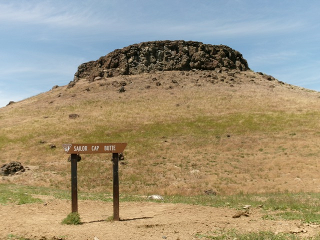
Sailor Cap Butte (with BLM sign) as viewed from the east. Livingston Douglas Photo
Access
From ID-78 at virtual MM93.1, turn south onto [signed] Browns Creek Road. Follow this county road south then east, where it becomes a well-maintained BLM road. Follow this BLM road east then southeast then south for about 18.7 miles (from ID-78) to the east side of Sailor Cap Butte at a road junction [3,475 feet; 42°43’54.54”N, 115°26’20.1”W]. This spot is also 2.6 miles north of the junction with the service road that heads east to the summit of Black Butte (4,211 feet).
North Face/Chute, Class 3
The Climb
From the parking spot at the road junction, cross the BLM road and drop 10-15 feet to cross a minor gully. Scramble northwest up to the base of the east cliffs. Follow the base of the cliffs around to the north side of the butte. Find an easy Class 3 chute to quickly reach the flat top of the butte. The summit area is not too large but the high point appears to be the boulders of a large rock shelter on the flat summit area. The terrain up to (and at the base of) the summit cliff band is thick-ish field grass, scrub, and ground talus/boulders. It is a bit tedious. It’s best to stay close to the base of the cliff band since there is a weak use trail there.
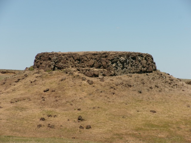
Sailor Cap Butte as viewed from the south. Livingston Douglas Photo
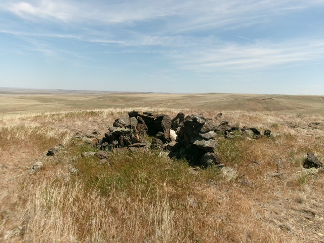
The large rock shelter atop the summit of Sailor Cap Butte. Livingston Douglas Photo
Additional Resources