Elevation: 3,975 ft
Prominence: 10
This butte is not in the book. Published October 2025
Shoshone WSA HP is a rather indistinct hump with lots of tedious lava rock and thick sagebrush. It is located north of Shoshone and is entirely on BLM land. USGS Shoshone
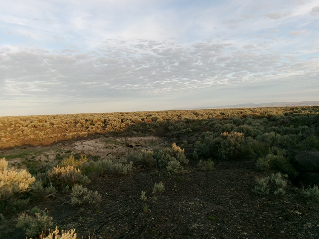
Shoshone WSA HP as viewed from the parking pullout–a sea of sagebrush. Livingston Douglas Photo
Access
From ID-75 in Shoshone, turn left/west onto [signed] West 7thStreet. Drive 0.5 miles west to its end at a “T” junction with [signed] North Grape Street. Turn right/north onto North Grape Street and reset your odometer. North Grape Street soon becomes unpaved and a bit rutted, rocky in spots, and rough, but it goes. At 2.2 miles, part in a pullout between two bridge crossings of canals. This pullout is at 3,959 feet and 42°58’28.6”N and 114°25’03.8”W.
East Face, Class 2
The Climb
From the roadside pullout, bushwhack west through a mix of thick sagebrush and tedious lava rock to reach the indistinct high point, based on GPS readings and LOJ’s assessment of the high point location. There is no summit cairn or obvious high point. I built a lava-rock cairn atop the LOJ high point. This was a most unpleasant bushwhack to nowhere. Given its prominence of only 10 feet, it is no wonder that this was a difficult endeavor.
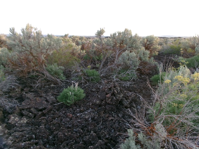
The sagebrush summit and its newly-built summit cairn. Livingston Douglas Photo
Additional Resources