Elevation: 5,563 ft
Prominence: 393
This butte is not in the book. Published October 2025
Split Top is a dual-humped butte that is located in a remote area of the Snake River Plain. Surprisingly, the BLM roads that lead to it are in decent shape and make for a short, four-minute scramble to the rocky summit. USGS Split Top
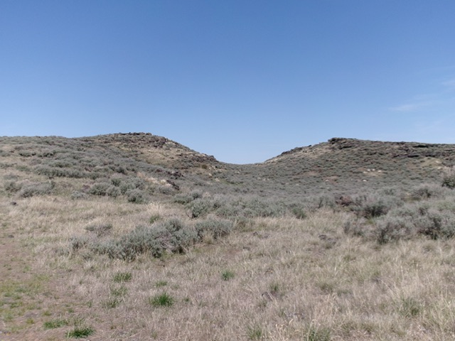
Split Top as viewed from the south (start of climb). The summit hump is left of center. Livingston Douglas Photo
Access
Same as for Packsaddle Butte. From Coffee Point Junction (Junction 4841 on maps), reset your odometer and head west on a graded BLM road. This decent road (albeit with many bends and a few minor rocky spots) bends left-ish/southwest at about two miles (“Rock Lake 8 Miles” sign here). At 7.3 miles, reach a signed junction for Rock Lake (a slower, rockier road heading right/north). Follow this BLM road past Rock Lake quickly (at about 0.2 miles).
At 8.3 miles, bear left/northwest at an unsigned junction. The road soon bends right-ish/north then later bends left-ish/northwest. At 10.5 miles, reach Junction 5378 (on maps) and go right/north-northwest. At 10.8 miles, reach a final junction. Go right/northeast here onto a decent 2-track road with a few rocky spots. At 11.4 miles, reach a nice grassy pullout on a bluff. Park here [5,475 feet; 43°09’12.3”N, 113°06’51.4”W].
South Face, Class 2
The Climb
From the pullout, bushwhack northwest then north to the rocky summit. The summit has two benchmarks and multiple cairns. Stay left of a large gully that is nearby to the right on this ascent. The terrain is thick-ish sagebrush and requires some weaving.
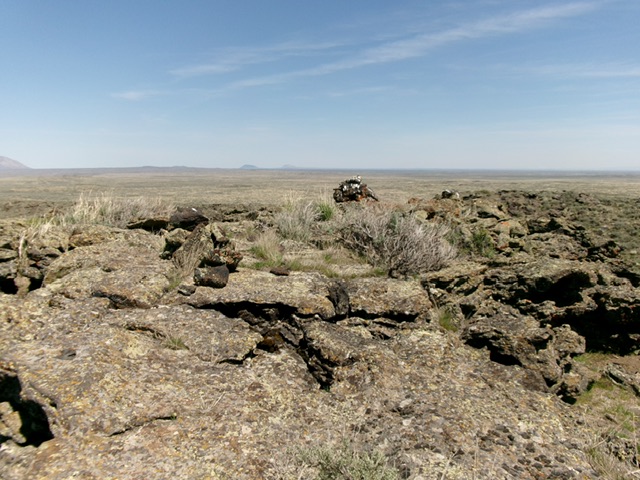
The rocky summit of Split Top. Livingston Douglas Photo
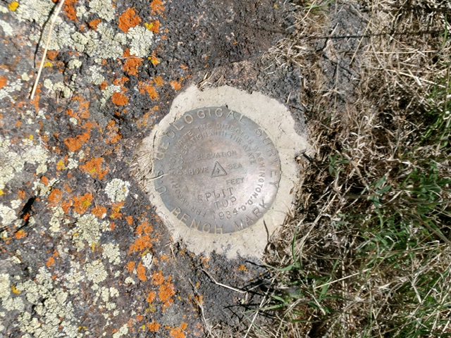
The USGS benchmark atop Split Top. Livingston Douglas Photo
Additional Resources