Elevation: 10,760 ft
Prominence: 2,451
Climbing and access information for this peak is on Pages 161-162 of the book. Elevation is based on recent LiDAR measurements. The USGS Quad shows an elevation of 10751. Kaden Platt’s Northwest Chimney Route was added to this page. Updated November 2025
Thompson Peak is the highest Sawtooth Range peak. It is usually climbed via a challenging Class 3 scramble up the South Couloir. The book also details but a number of challenging but seldom repeated technical lines for rock climbers. USGS Stanley Lake
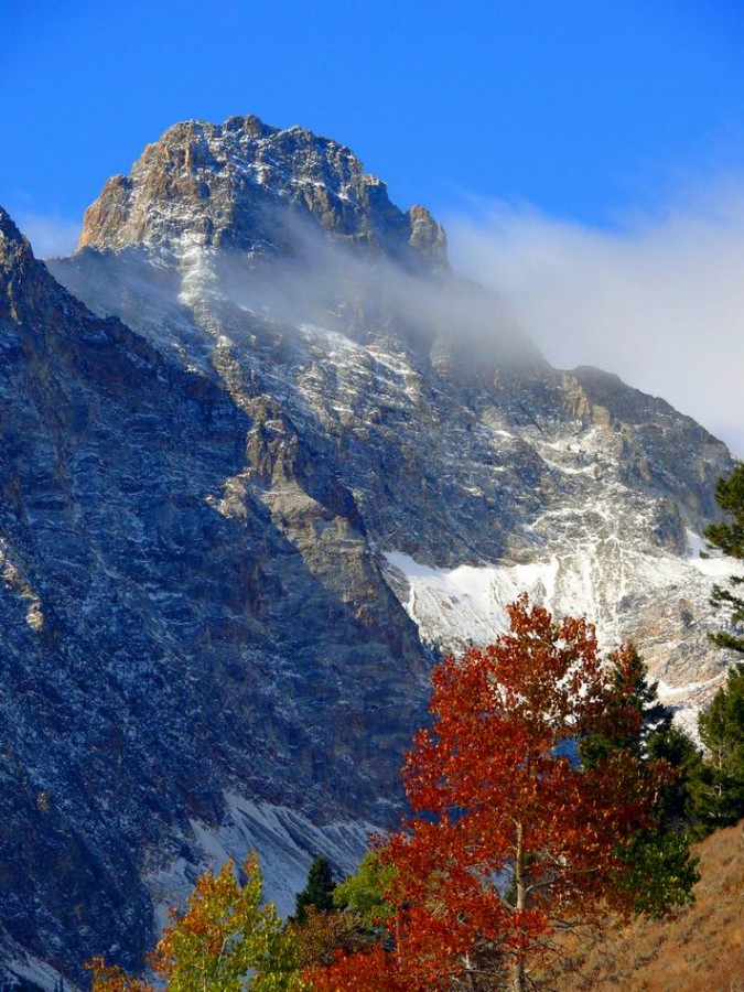
One of the many moods of Thompson Peak. Basil Service Photo
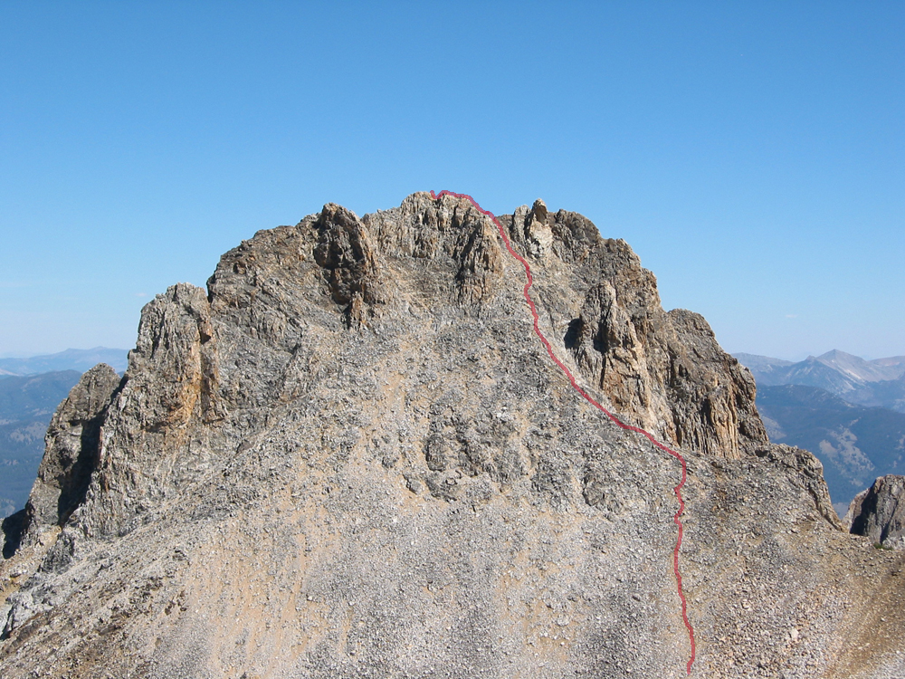
Thompson Peak with the South Couloir Route in red. John Platt Photo
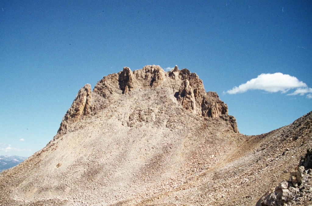
The Southwest Face of Thompson Peak.
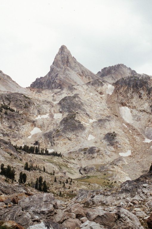
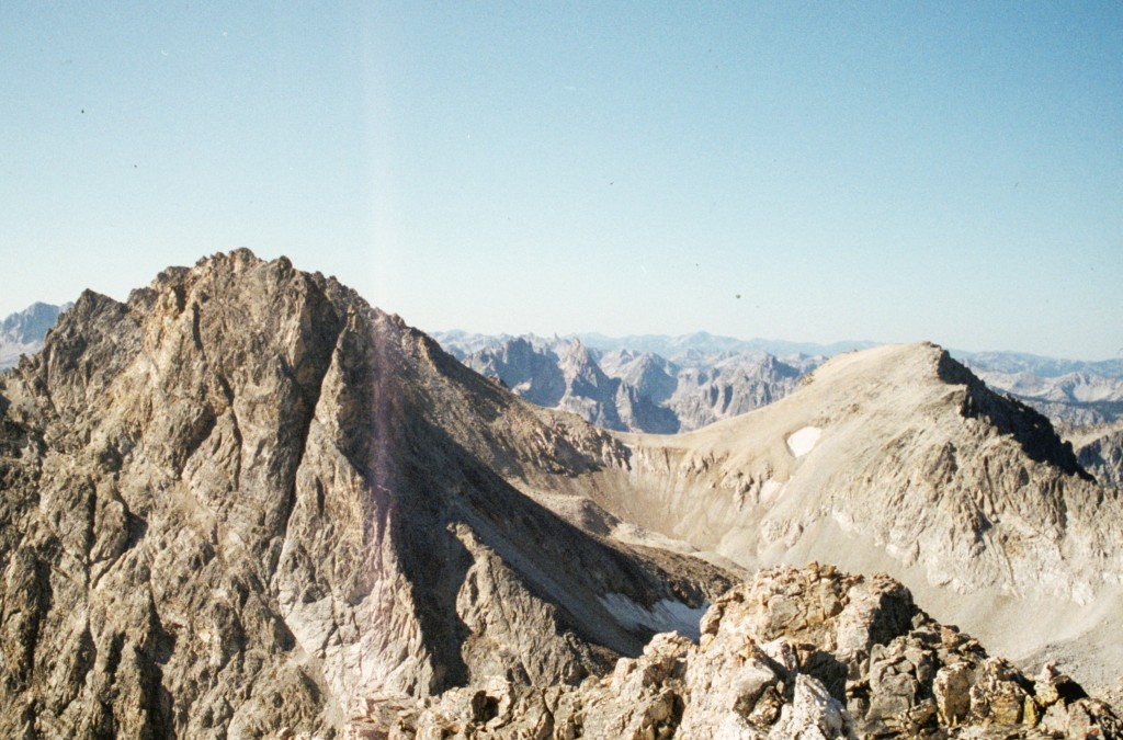
Thompson Peak as viewed from the lower slopes of Merritt Peak.
Thompson Peak (left) and Carter (right) as viewed from Williams Peak.
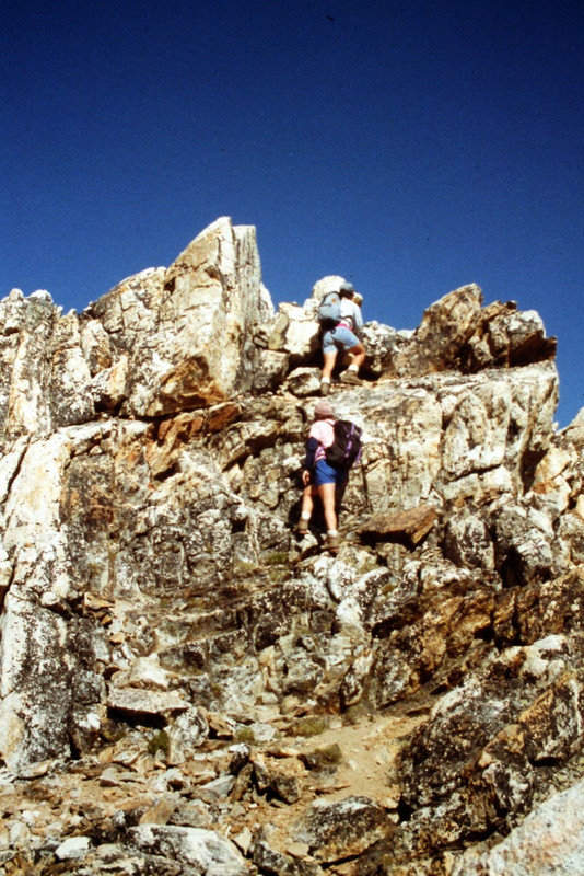
The last few feet to the summit on the standard route requires a bit of Class 3 climbing.
Northwest Chimney by Kaden Platt
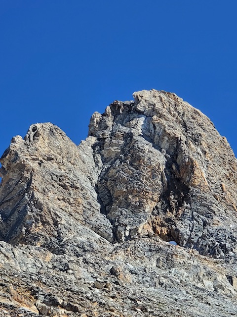
Thompson Peak’s Northwest Face. Kaden Platt Photo
Northwest Chimney aka West Crack, Class Grade II, 5.2
[Editor’s Note: This route is found is called the West Crack by Lyman Due. The route is found on page 162 of the book.] This route begins by climbing the wide crack (shown in the photo below) until reaching a slightly overhung off width section. This spot is blocked by a chockstone so the easiest alternative is to climb out onto the face for about 15 feet. Passed this crux, the route eases up to very exposed 4+ scrambling. Then eventually links you up with standard Thompson Route.

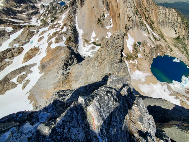
My route line in red for the chimney at the beginning of the route. See the final photo below for the entire route. Kaden Platt Photo
Looking down the route. Kaden Platt Photo

The last little exposed catwalk to main route. Kaden Platt Photo
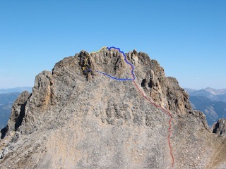
Blue route shows the connection from the chimney route to the main route. Yellow is the alternative of continuing on the N ridge. John Platt Photo
Additional Resources
Mountain Range: Sawtooth Range
Year Climbed: 1991