Elevation: 4,601 ft
Prominence: 76
This butte is not in the book. Published October 2025
Tuanna Butte is located due south of Devil Creek Butte. It sits between the Devil Creek drainage and the Salmon Falls Creek drainage. Tuanna Butte is a rather indistinct hump with only 76 feet of prominence. USGS Tuanna Butte
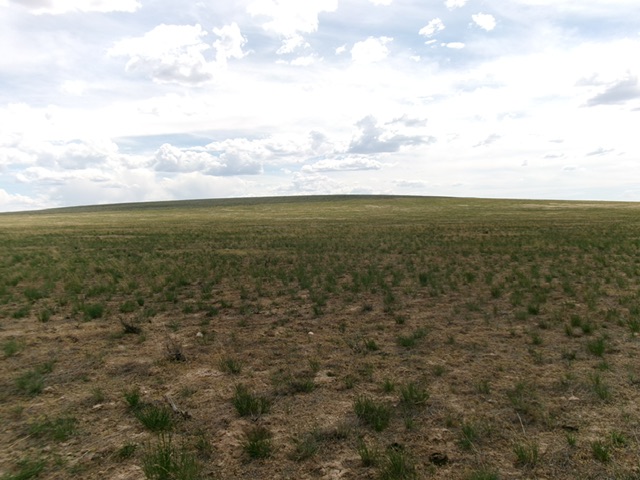
Tuanna Butte as viewed from the northwest (start of climb). Livingston Douglas Photo
Access
From Buhl, Idaho, follow US-30 south as it weaves its way to become 3700N. Head west on 3700N/Balanced Rock Road to a signed junction with 900E. Turn left/south onto well-maintained county road 900E and follow it as it passes through the hamlet of Castleford then descends to cross the canyon that has Salmon Falls Creek running through it. The road emerges on the west side of this creek and heads southwest to an unsigned junction with 2900N at 10.0 miles. Turn right/west onto 2900N and drive 1.8 rugged, rutted, rocky/bumpy miles. Park in the grass on the northeast side of Tuanna Butte [4,380 feet; 42°25’06”N and 114°56’29”W].
Northeast Face, Class 2
The Climb
From the improvised parking spot along 2900N, bushwhack southwest across easy, short, gapped field grass to reach steeper sagebrush higher up. Work through the gaps and lanes in the thick-ish sagebrush and skirt the right/west side of the northeast summit. Continue southwest to the higher southwest summit. The official/southwest summit has a USGS benchmark and lots of wooden triangulation station wreckage in the sagebrush summit area.
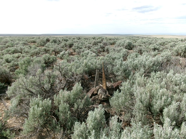
The sagebrush summit of Tuanna Butte and its newly-built summit cairn. Livingston Douglas Photo
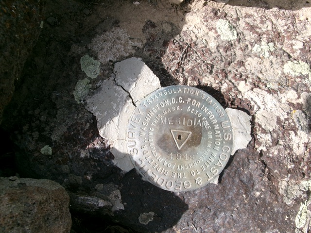
The USGS benchmark (“Meridian”) atop Tuanna Butte. Livingston Douglas Photo
Additional Resources