Elevation: 3,346 ft
Prominence: 16
This butte is not in the book. Published October 2025
Twentymile Butte is located just off Bell Rapids Road, southeast of Flint Mesa. It sits on a ridge that separates Rosevear Gulch from Big Pilgrim Gulch on the Snake River Plain. USGS Twentymile Butte
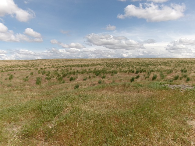
Twentymile Butte and its southwest face as viewed from the cattle guard (start of hike). Livingston Douglas Photo
Access
From Exit 125 on I-84, head south toward Paradise Valley. This is North Coblantz Road, unsigned at this point. At 2.4 miles, reach a “T” junction. Go left/southeast onto [signed] Pasadena Valley Road. At 3.7 miles, go right/southwest onto [signed] East Black Mesa Road. At 9.1 miles, reach a signed junction with Bell Rapids Road. Go right/south onto Bell Rapids Road and drive 8.3 miles to a cattle guard crossing. Park here [3,335 feet; 42°48’17.8”N, 115°08’32.7”W]. This cattle guard is 1.3 miles southeast of the signed junction of Bell Rapids Road and East Flint Mesa Road.
Map Errors
There are numerous road errors on the USGS topo map in this area. Don’t trust it.
Southwest Face, Class 2
The Climb
From the cattle guard crossing, cross to the east side of the cattle guard and bushwhack north through typical sagebrush and field grass to reach the bare summit of Twentymile Butte. A 2-track road (shown on maps) comes up from the southeast and continues north down the backside of Twentymile Butte (this road section is NOT shown on maps). Contrary to the USGS topo map, the 2-track does NOT go over the summit. Instead, it skirts the right/east side of the peak.
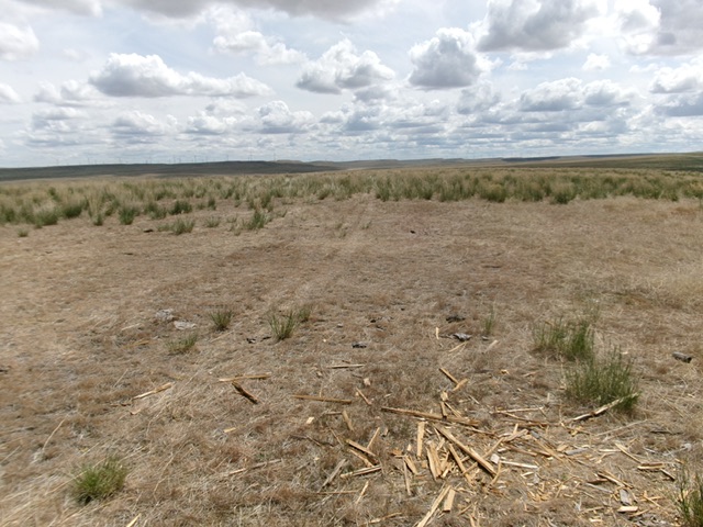
The bare summit area of Twentymile Butte. Livingston Douglas Photo
Additional Resources