The central portion of the Danskin Mountains is traversed by an extensive system of motorcycle and ATV trails. These trails are of varying quality but nevertheless provide fair access to this impressive and complicated region. Trails vary in quality. Trails that are designated for ATVs are wider, less steep and busier than trails designated for motorcycle use. Many of the motorcycle trails were created by rogue motorcyclists who simply followed the path of least resistance or climbed directly up steep slopes. In places, the Forest Service has added switchbacks but the majority of the trails that go up ridges are much steeper than traditional hiking trails.
Signs with trail numbers are found at most intersections, but you will need to know in advance where the trails go because there are no destination or mileages found on the signs. See the map below. The trail system is usually closed to motorized traffic until late April or mid May. The early season closure allows hikers to use the trails in relative quiet in the Spring. When open to motorized travel, the trail system is heavily used on weekends.
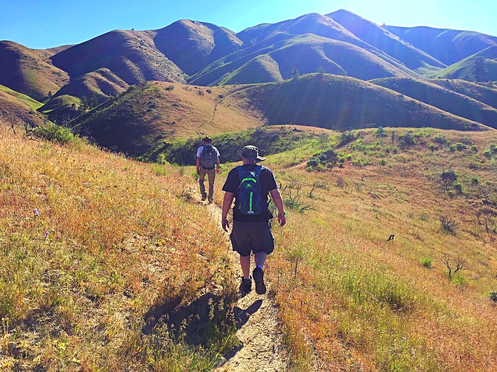
FST-410 is a typical Danskin OHV trail. It is limited to motorcycles and is a single track. The trail covers a lot of scenic territory and is perfect for Spring hiking.
The Boise National Forest maintains a web page for these trails although there is only minimal information available at present. Boise National Forest page.
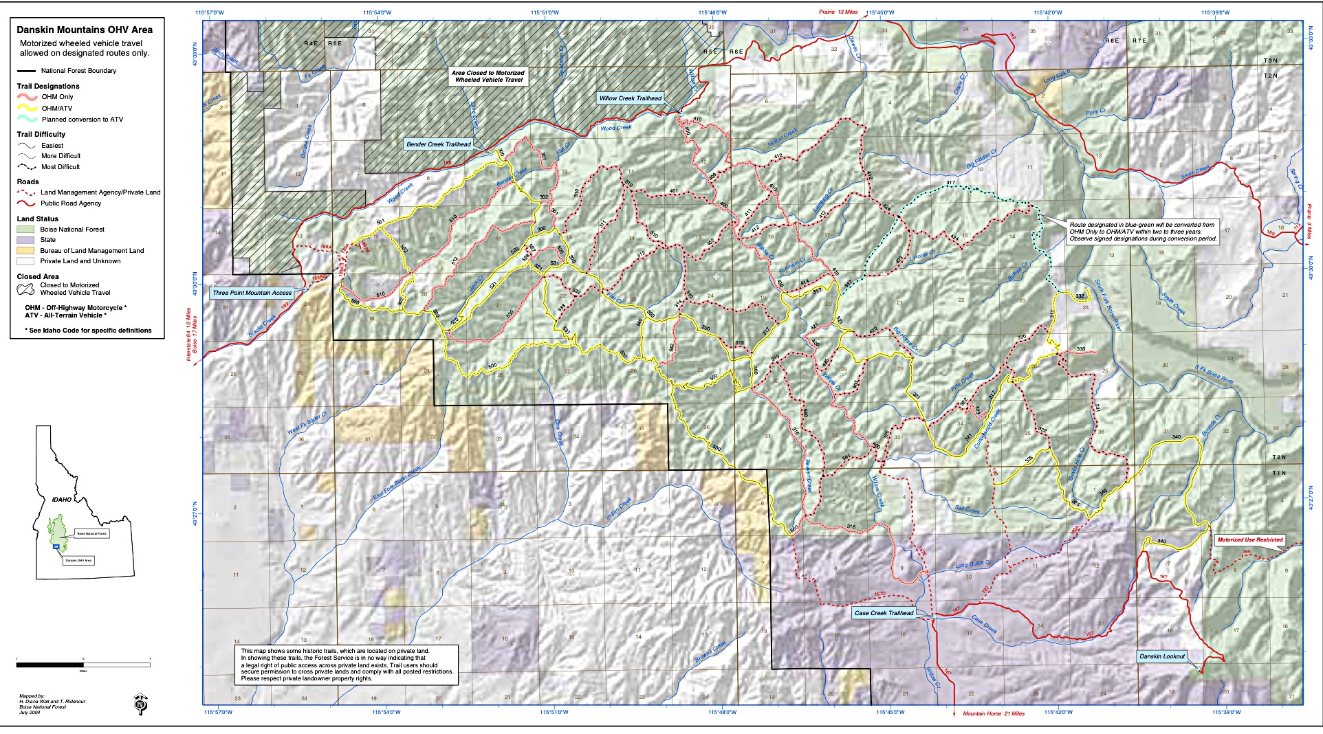
Danskin Mountains OHV trail system map. Courtesy of USFS
Link for this map: Danskin Mountains OHV Trail Map