In the Spring, if you find the right spot on ID-28 (right at the Meadow Canyon turnoff) you can look right up Scott Canyon and see a snow/ice line on the west side of Huhs Horn running nearly the entire height of the peak. It tops out just left (NW) of the triangular summit. One has to hike up the N fork of Scott Canyon to see this straight shot from close up because the rocky buttresses of the West face obscure it’s view.
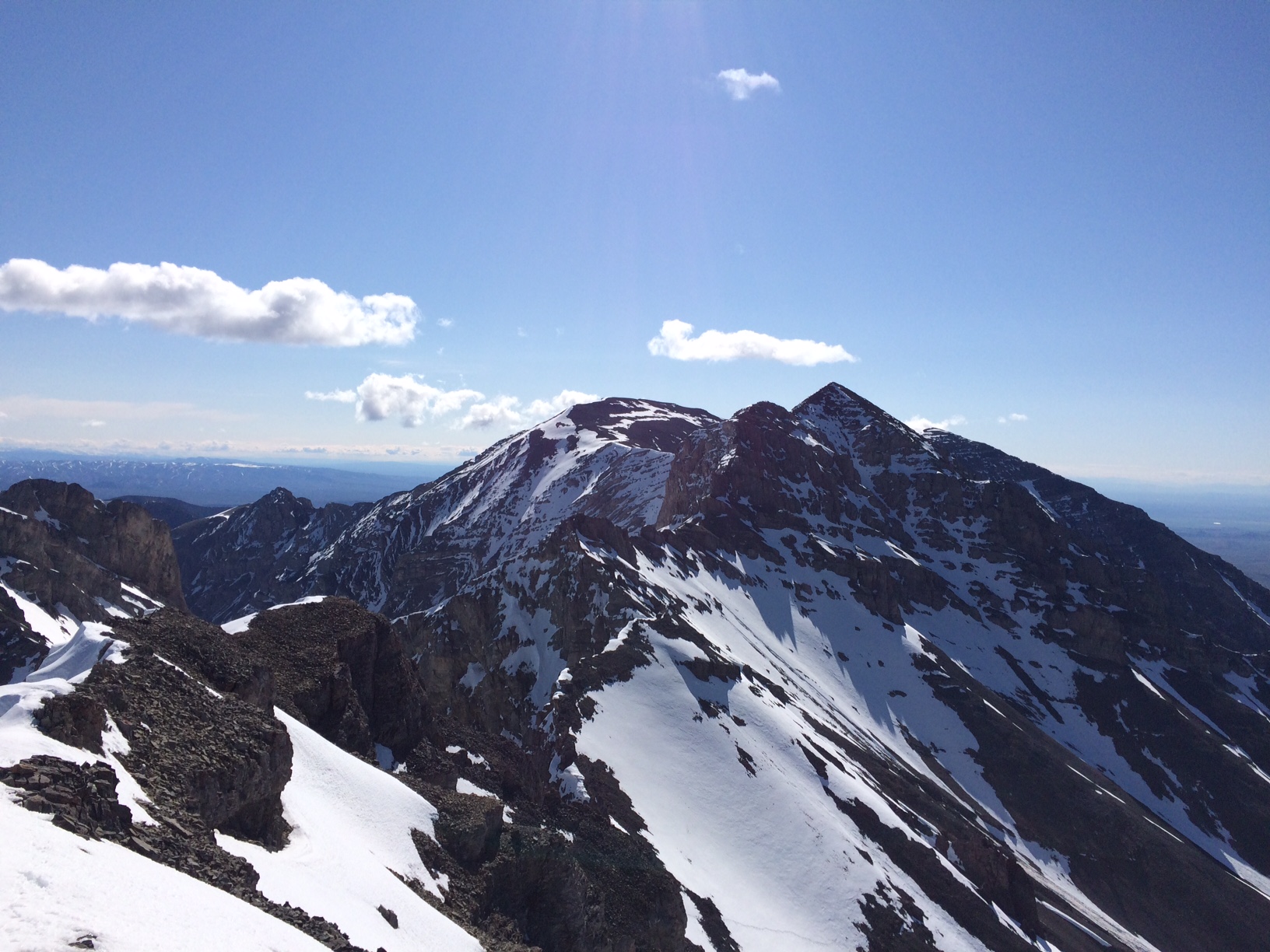
The route is seen in profile from Italian Peak. It appears as a very thin white line in its top section due to the angle of the shot. Neil Gleichman Photo
Smitten at first sight, I was 3 times into the canyon before I succeeded in committing to the beautiful plumb line. I left the car at 4:15AM on a cold May 10th to utilize firm neve which I encountered at about 8,800 feet. The 2,300 feet from there to the top of the alpine ice steepened as it rose. A couple short sections of water ice had formed where meltwater had dripped over exposed rock but these sections were short and easy to navigate.
From the ridge, one is just a quick stroll to the summit. From Huhs Horn, I visited Scott Pk. and made my way south and then down the steep western snow fields to drop quickly into Crooked Creek drainage.
I saw fresh tracks of one person on top, from the direction of Webber. I calculated these to be from the previous afternoon, but no entry in the summit log corresponded.
This is a great spring route but once the snowfields melt, endless talus and the potential for rockfall make this an unsuitable route for summer. Crampons and at least one axe should accompany and early start.