Elevation: 6,161 ft
Prominence: 301
This peak is not in the book. This page was written with contributions by Margo Mandella and Livingston Douglas. Updated December 2019
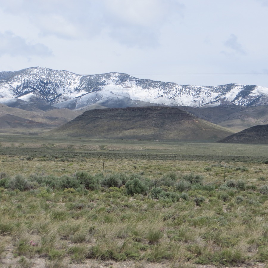
Scott Butte is an attractive, flat-topped geologic feature located at the base of the Beaverhead Mountains. The peak is situated close to ID-28 at the south end of the Birch Creek Valley. Scott Butte is most easily climbed from its north, south, and east sides. However, if you stay off rocky outcrops, your route should be a short Class 2 scramble from any direction. USGS Scott Butte
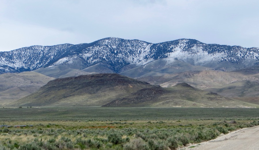
Scott Butte as viewed from Peterson Canyon Road. Steve Mandella Photo
Access by Livingston Douglas
Peterson Canyon Road leads to Scott Butte from ID-28 in the Birch Creek Valley. Contrary to the USGS topo map, there is no “Scott Butte Road,” so don’t look for it. It’s labeled “Peterson Canyon Road.” Peterson Canyon Road is signed and is located near the Mile Marker 36 on ID-28. It is exactly 5.4 miles north of the junction of ID-28/ID-22. It is exactly 7.9 miles south of the north entrance to Birch Creek Campground. Peterson Canyon Road is on the east side of ID-28.
Peterson Canyon Road approaches Scott Butte from its south side and bends left/north to get close to Scott Butte on its east side. Drive 2.2 miles on Peterson Canyon Road (a wide, good gravel/dirt road) to reach a bare rock area to park. Unfortunately, there are no parking pullouts on the east side of Scott Butte. Park here on the left/west side of Peterson Canyon Road (5,840 feet).
East Face, Class 2 by Livingston Douglas
From the improvised parking spot, scramble directly west up a slope of desert scrub to reach the flat summit plateau of Scott Butte. To reach the summit plateau, you must climb up a minor headwall of large boulders with thick vegetation mixed in (Class 3). You can skirt these boulders if you move to the right/north and keep the difficulty at Class 2.
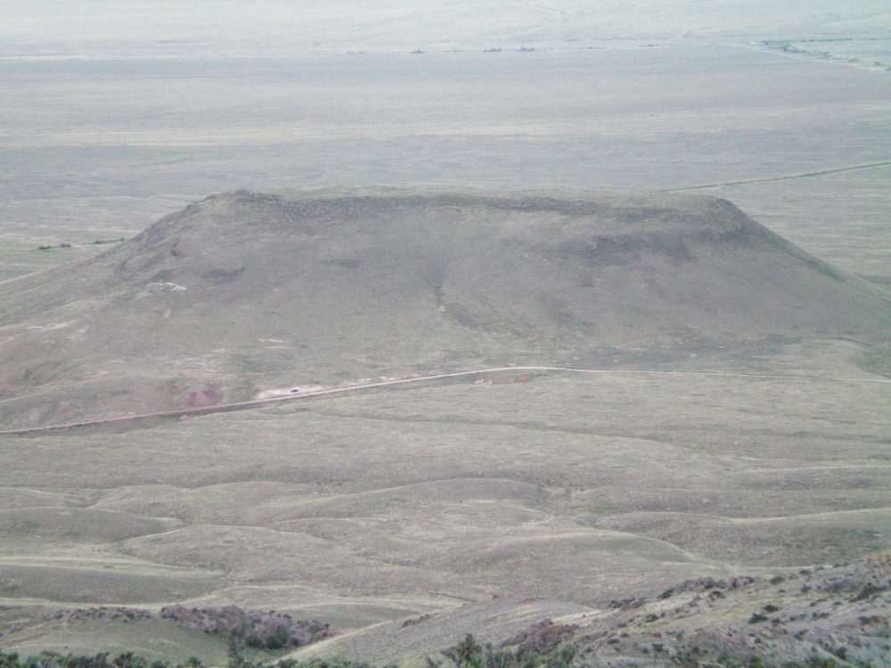
The east face of Scott Butte as viewed from the summit of Peak 6934. Livingston Douglas Photo
The flat-topped butte is massive and is covered with short, clumpy field grass and broken scree. I built a small cairn on top with the few loose rocks that I could muster up.
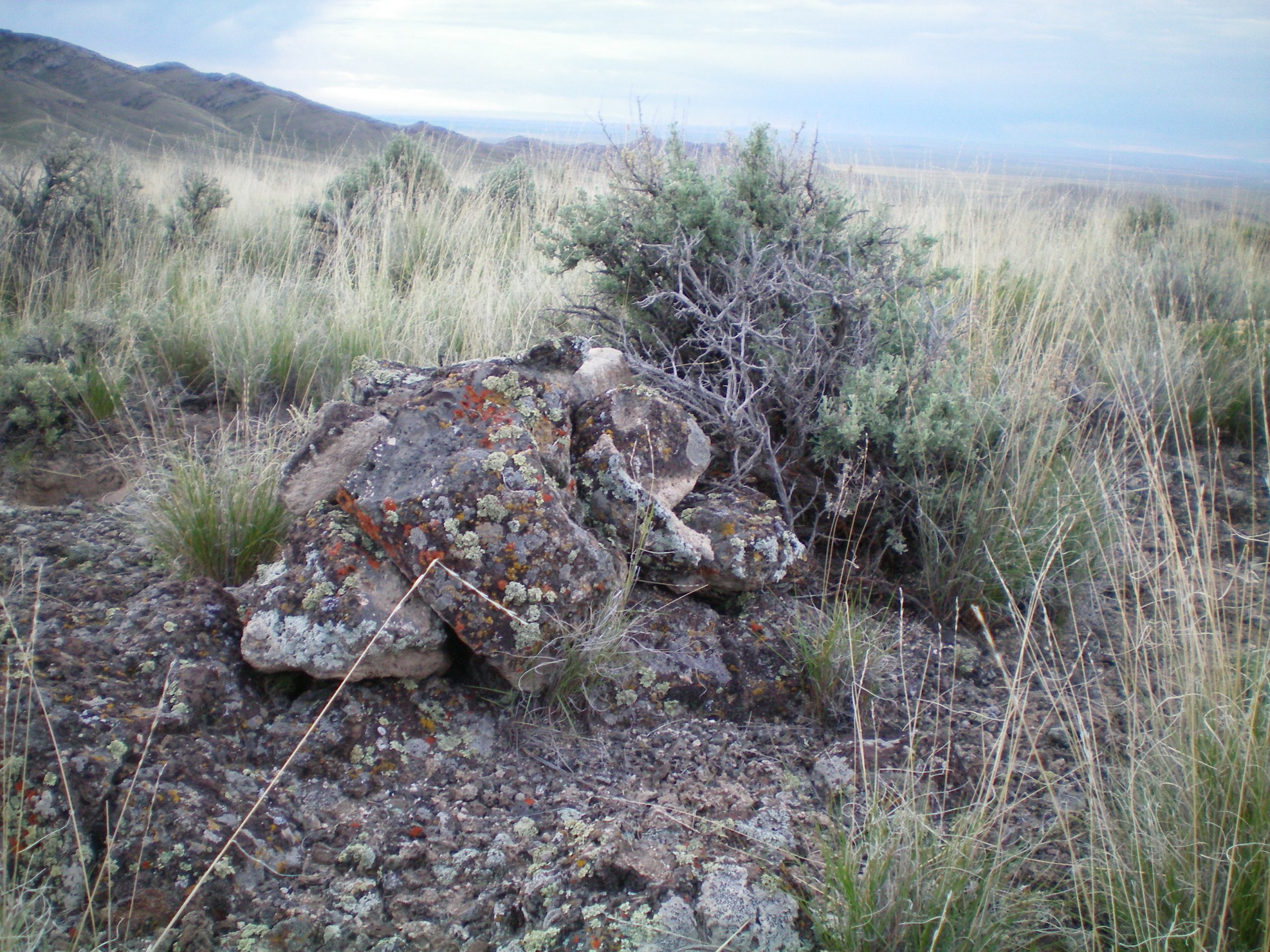
The newly-built summit cairn atop Scott Butte. Livingston Douglas Photo
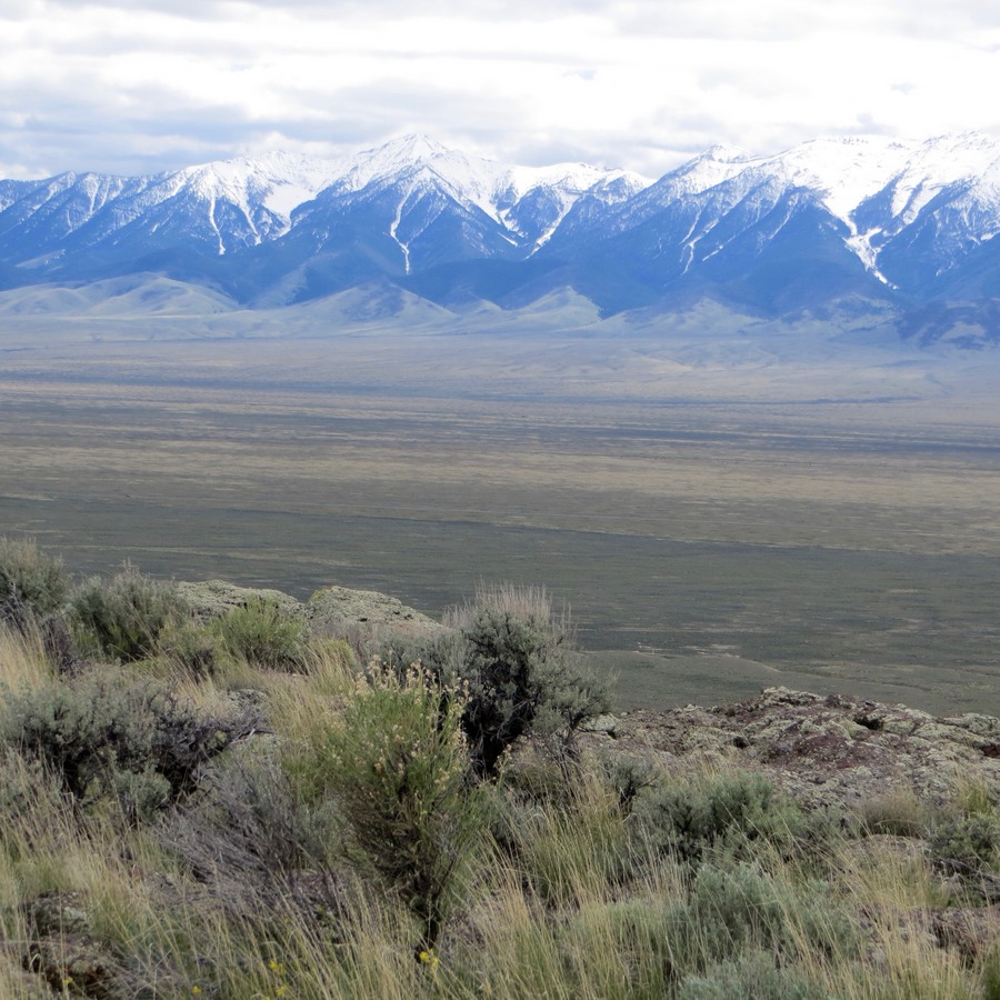
Even with its modest prominence, the Scott Butte summit views of the Birch Creek Valley, Lemhi Mountain Range, and surrounding Beaverhead Peaks are outstanding. Saddle Mountain is in the cloudy distance. Steve Mandella Photo
Additional Resources
Regions: Beaverhead Range->EASTERN IDAHO
Mountain Range: Beaverhead Range
Year Climbed: 2018
Longitude: -112.79309 Latitude: 44.06789