Elevation: 7,801 ft
Prominence: 2,091
This peak is not in the book.
South Mountain is located in Idaho’s far southwest corner. This big mountain is somewhat detached from the main Owyhee Mountains crest. It is nearly a small mountain range in its own right. Given its prominence, size and location, South Mountain is an impressive peak by any measurement. USGS Cliffs
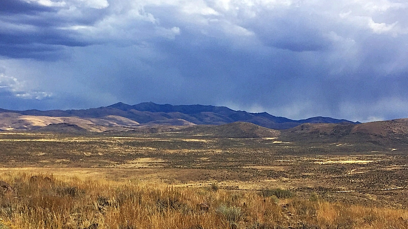
South Mountain as viewed from just across the Idaho?Oregon border.
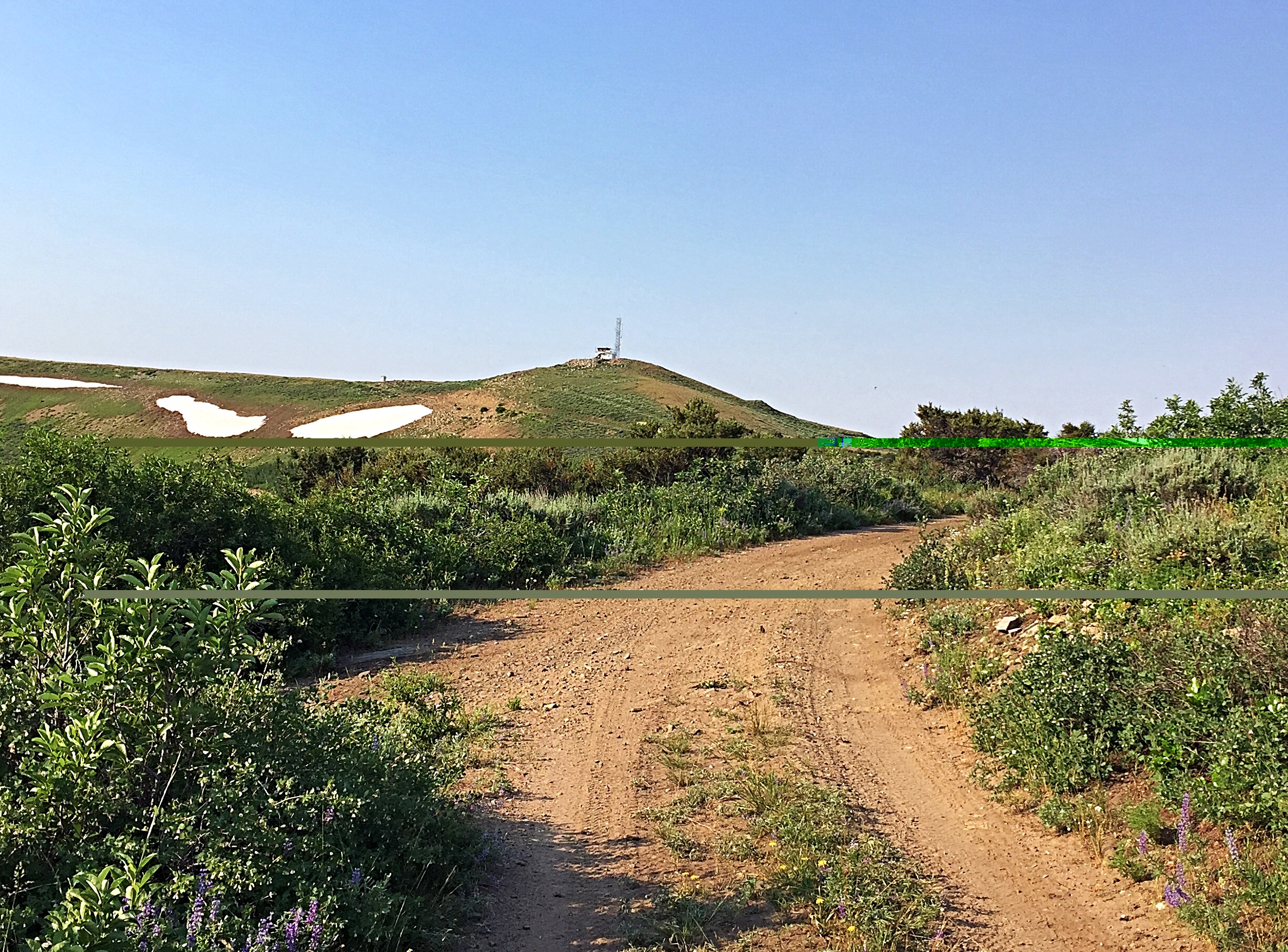
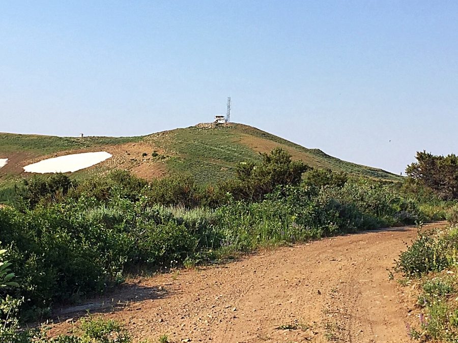
The South Mountain summit as viewed from the the last junction.
A large part of the mountain is on private land. The BLM controls the actual summit and maintains and, in the summer, mans a fire lookout on the top. As a result, there is a road that leads all the way to the summit. The final stretch of the road requires a 4WD vehicle. Almost all of the access road is located on private land.
Access
Access the peak from Jordan Valley, Oregon and US-95. The highway makes a 90-degree turn in downtown Jordan Valley. From this point, turn onto Yturri Boulevard. Follow this paved road as it quickly becomes Pleasant Valley Road out of town. Drive south on Pleasant Valley Road through ranch land for 7.4 miles to to the signed junction for the South Mountain Road. Turn onto the wide, well-graded South Mountain Road and follow it as it works its way southeast. When you arrived at the signed junction shown in the photo below, veer off to your right.
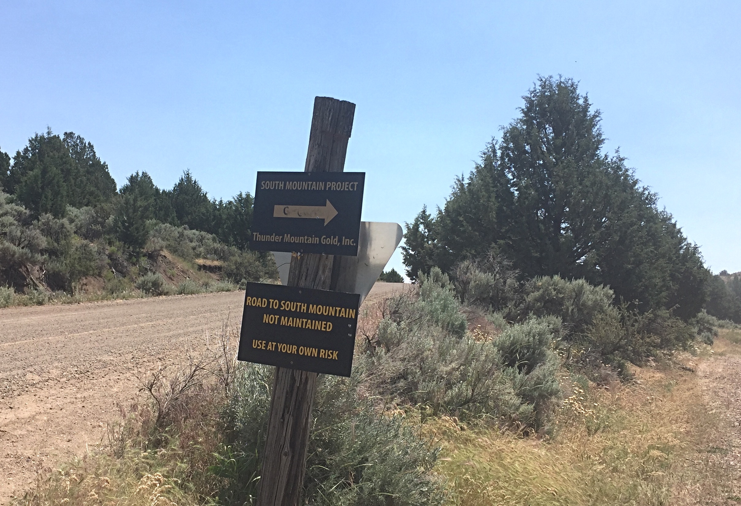
The South Mountain Road deteriorates from this junction. Leave the good road and get ready for some rough travel.
From this point, the road is bumpy, often steep and totally on private property. According to the BLM fire lookout, the BLM does not have a recorded right-of-way through the private property and there are several property owners who could close off access at any time. Fortunately, as of July 2017, access is open to the public and is signed by the largest property owner, the Thunder Mountain Mine Company.
The road climbs up Williams Creek to the semi-active Thunder Mountain Mine, where it begins to switchback up and out of the drainage. There are several side roads but the main road is obvious. There are lots of sharp rocks in the area of the mine. You need really good tires to avoid the real possibility of getting flat tires.
There is a junction at 3/4 mile before the summit. This spot is also the trailhead for an ascent of Peak 7757. Turn right and follow the road to the summit. I recommend parking at this point and walking the last bit. There is a spot along this last section that often holds a snowbank into early July.
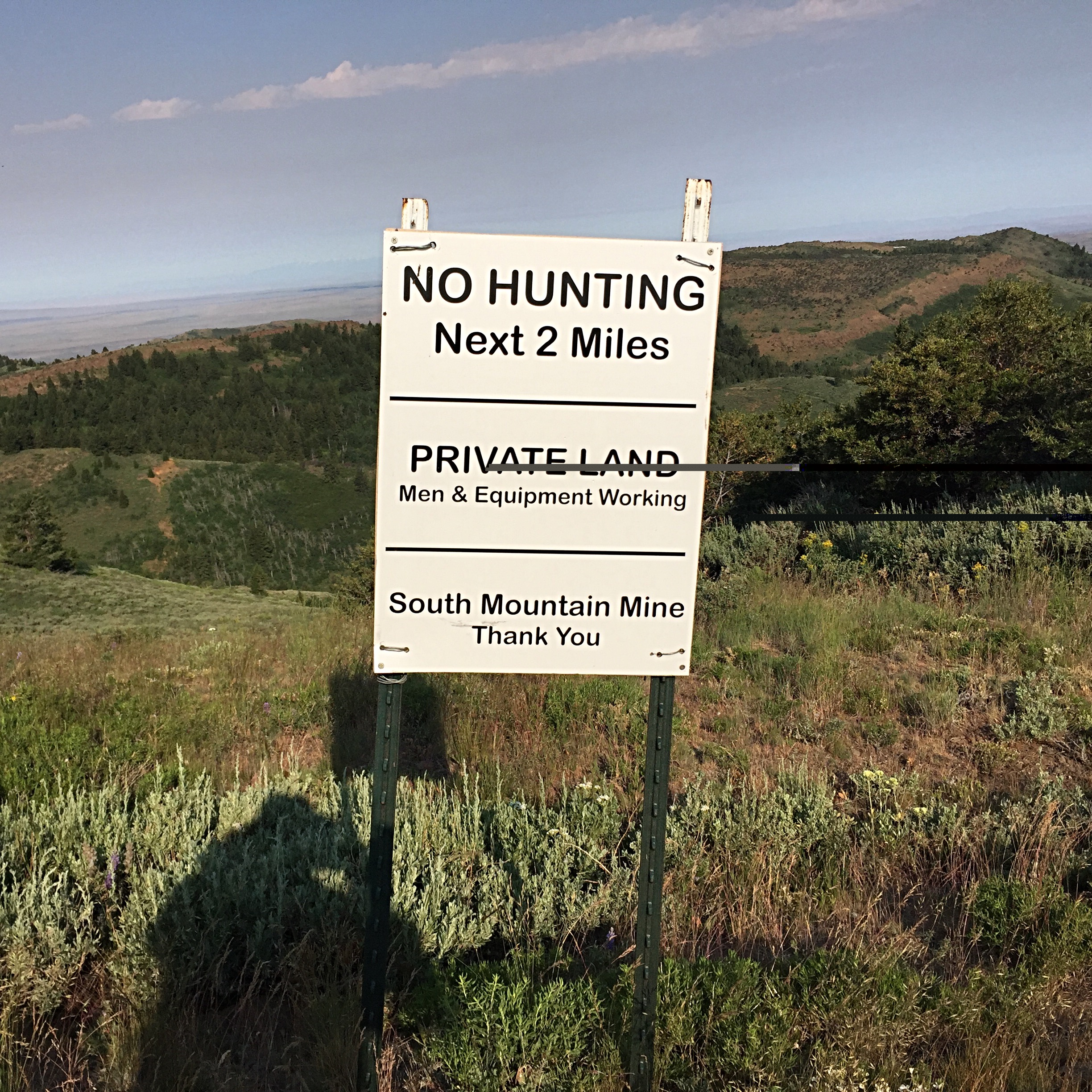
Please help preserve public access on the South Mountain Road by staying on the road and obeying any directions found the signs. Once again, STAY on the road and of course, leave the cabins and equipment found along the way alone.
Additional Resources
Regions: Owyhee Mountains
Mountain Range: Owyhee Mountains
Year Climbed: 2017
Longitude: -116.914001 Latitude: 42.74001