Artillery Dome Road was not included in the book. The road leads from the Burnt Log Road to the Lucky Lad Mine and penetrates deep into the Frank Church River of No Return Wilderness Area. It follows a convoluted ridge system for nearly 20 miles. It is a rugged 4WD road that passes through large sections of burned forest. Downfall can be expected to block the road at any time. Carry a chainsaw and do not visit the road if thunderstorms or high winds are forecast. The Forest Service does not regularly maintain the road. In mid-August 2019, the road was cleared for the first 10.5 miles but then blocked by dozens of trees which would have taken a crew several hours to clear. In July of 2021 all the downfall was cut out although in some spots tricky navigating was required to drive between the narrow cuts.
To reach Artillery Dome Road, begin by traveling the Warm Lake/Landmark/Stanley Road (FS-22/579) which runs across the Salmon River Mountains between ID-55 and ID-21 to Landmark [(C)(1) on Page 138]. The town of Landmark no longer exists but there is a large airstrip just north of the road. Leave Landmark on FS-477/Burnt Log Road [(C)(1.4) on Page 140]. Follow Burnt Log Road north for just over 4.0 miles to the signed junction for Artillery Dome Road/FS-477E. Turn east and take care. Trailheads are discussed farther down this page.
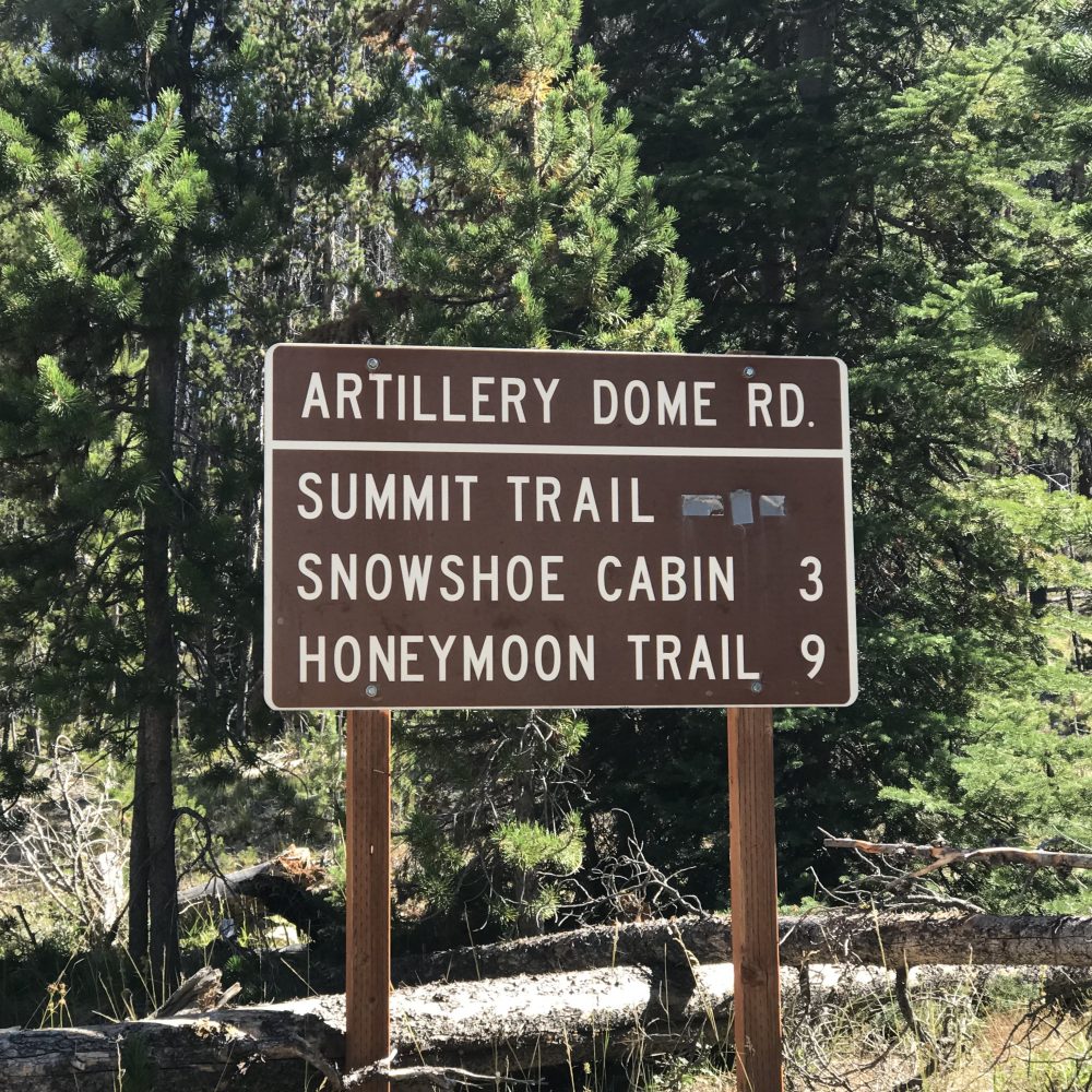
This sign marks the beginning of FS-477E/Artillery Dome Road.
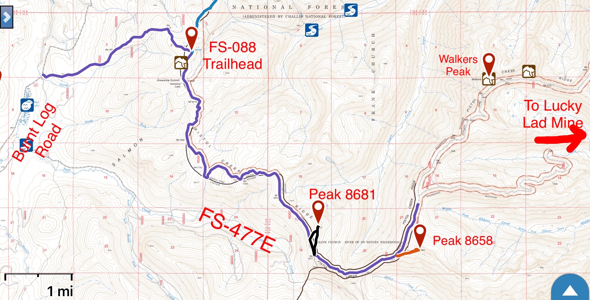
This map covers my GPS track for the first 10.5 miles. The road gained 2,307 vertical feet and lost 971 vertical feet over this stretch.
Artillery Dome Road Trailheads
FST-4088/Summit Trail
Please note that the Forest Service topo map shows this trail as FST-4088 while the sign shows it as FST-032. Follow Artillery Dome Road east for 2.8 miles to a signed junction with FST-4088. There is barely room for two cars to park. If you miss the sign and get to Snowshoe Summit, you have gone to far. There is good camping on the north side of Snowshoe Summit. This trail leads north to Pistol Lake and Chilcoot Pass. In 2019, the trail had deadfall to navigate through on its first mile. Lake Mountain can easily be accessed from the trail.
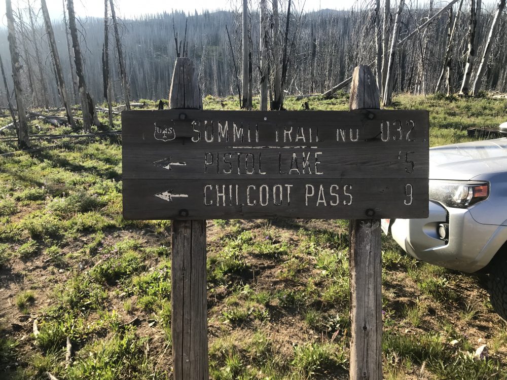
This is the sign marking the trailhead for FST-4088 in 2019.
Honeymoon/Morehead Mountain Trail/FST-031
This trailhead is found 9.0 miles from the start of Artillery Dome Road. The trail was maintained in 2015 all the way to the Morehead Mountain Lookout which is 5.0 miles from the start. It then continues down to the Middle Fork Salmon River. In 2021 the trail’s tread was in good shape for 90 percent of the way to Morehead Mountain. However, there was significant downfall to circumnavigate in places.
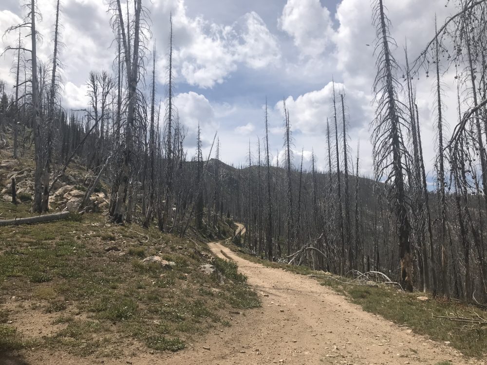
A sample of the road conditions. The road is steep in places and extremely rocky in others.
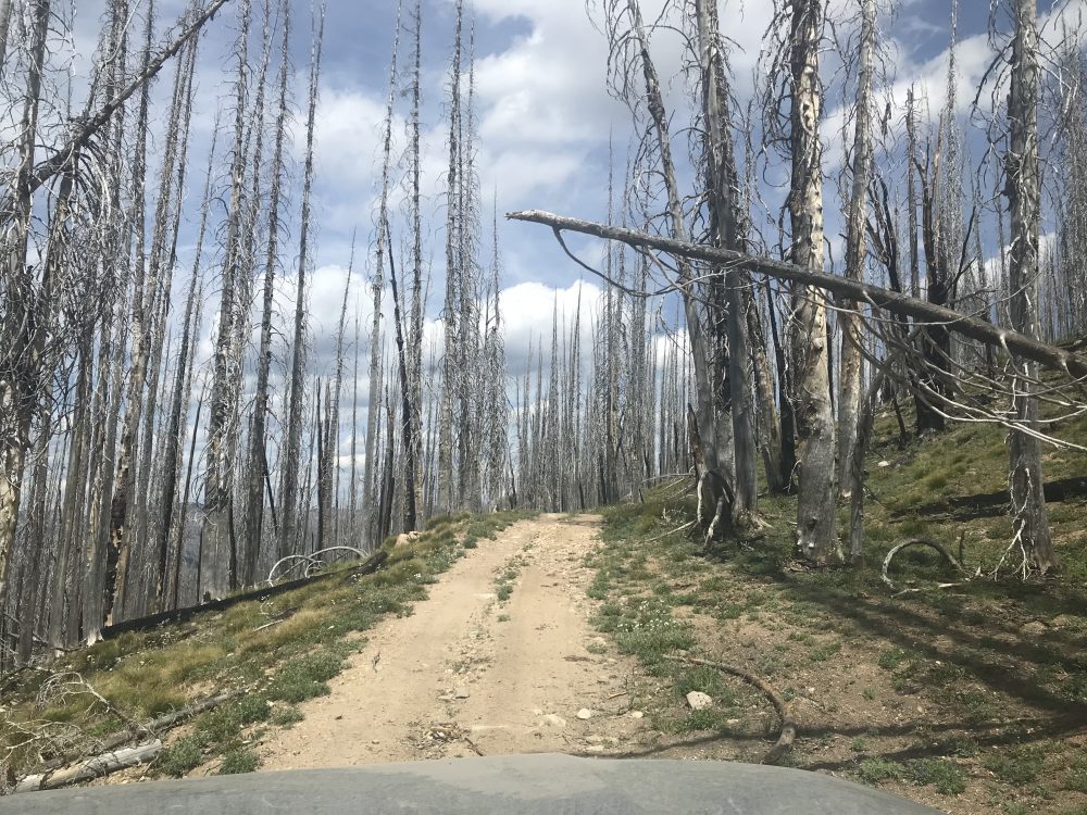
Deadfall is a constant threat along the route. There is no cell phone coverage. If your way out is blocked by fallen trees, you must cut your way out.