Elevation: 9,616 ft
Prominence: 556
Climbing and access information for this peak is on Page 320 of the book. Livingston Douglas climbed the south ridge in 2016 and provided the route update. John Platt climbed the south ridge in 2018 and provided additional route information. Updated October 2018
Pyramid Peak lies on the Continental Divide. It was first climbed in 1840 (see Page 13 of the book). USGS Shewag Lake
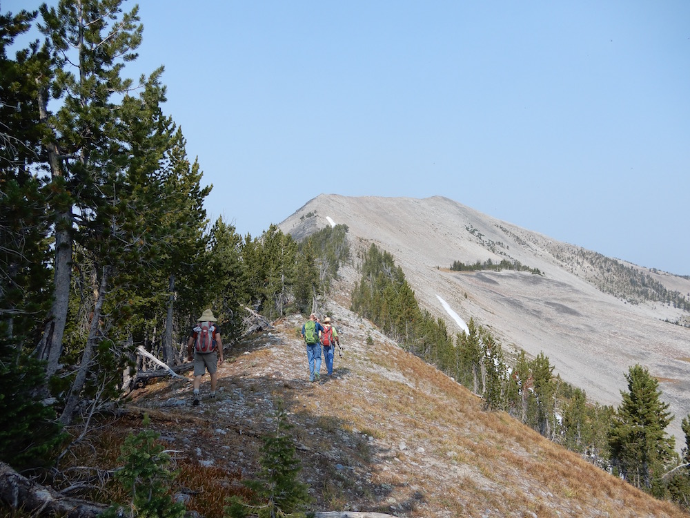
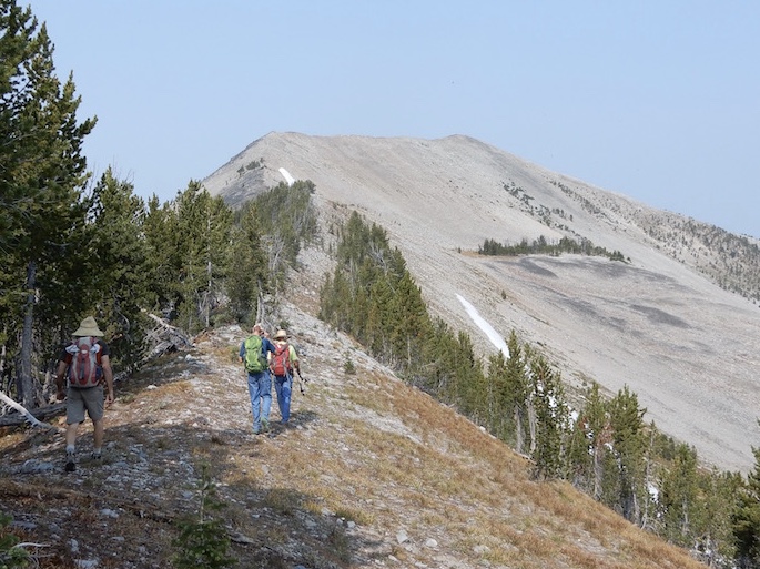
Pyramid Peak. John Platt Photo
Access
Fourth of July Creek Road/FSR-071 and South Fork Trail/FST-129 [(A)(2)(a) Page 328]. A 4WD vehicle is recommended.
South Ridge Route, Class 2 by Livingston Douglas
From the 9,100-foot saddle south of the peak, scramble NW then N up the ridge to the summit. This is a tedious endeavor on somewhat unstable shale. It takes almost 30 minutes to cover the 1/2 mile of distance involved. You’ll pass one ID/MT Boundary Post en route and find another one on the summit.
To return to the Fourth of July Creek Road area, descend SW then S from the 9,100-foot ridge saddle into a rather flat but convoluted basin that has undulations, forest, boulders, vegetation, and marshy areas. Drop to 8,300 feet and contour S then SW to intersect the CDT. Follow the CDT back to the ATV road then follow the ATV road back to FSR-256 and the parking area near the large mud hole in the road.
Use the link below to read John Platt’s trip report which contains more information on trail and road conditions.
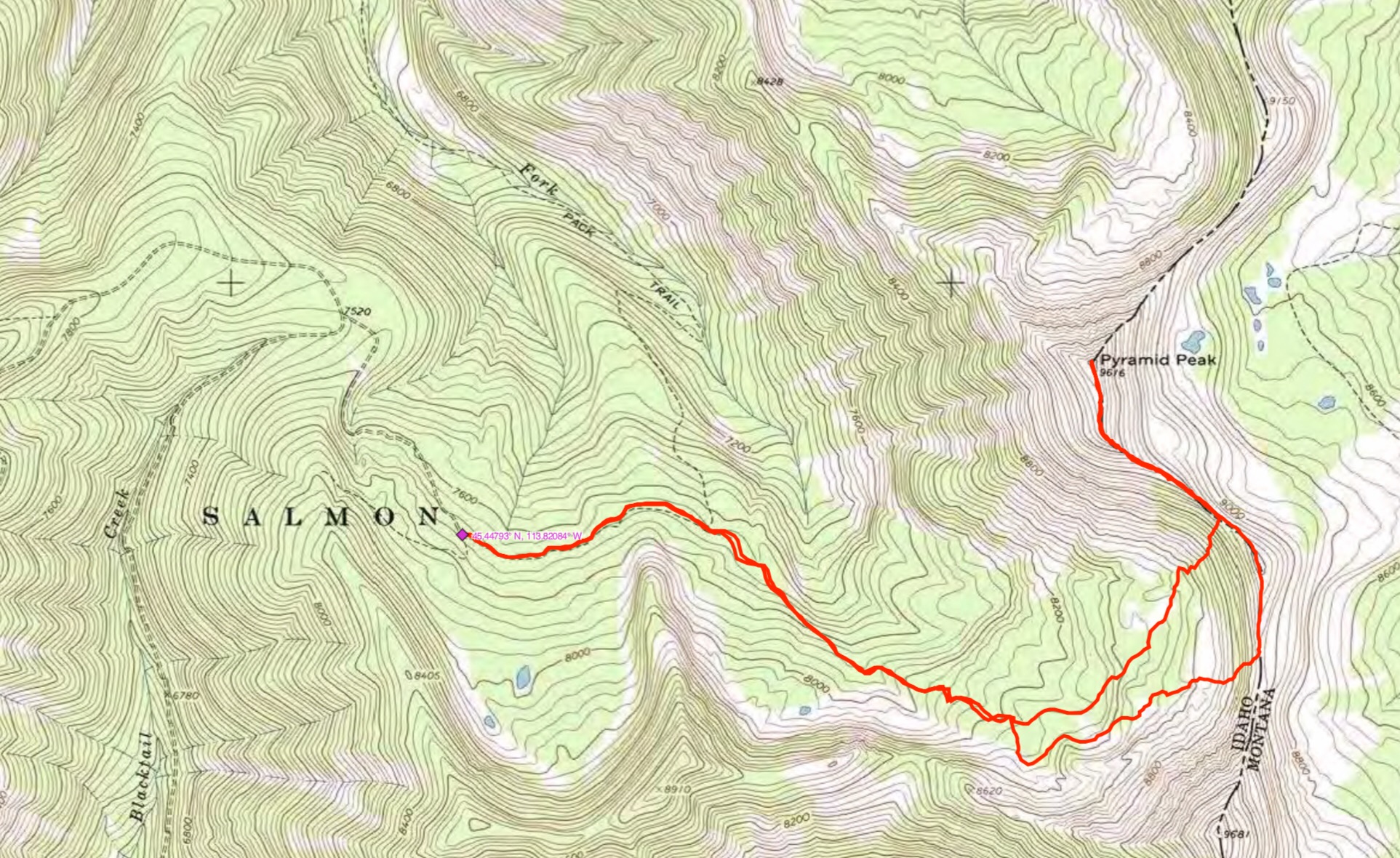
John Platt’s GPS track. Trip stats: 7.5 miles with 2,335 feet of elevation gain.
Additional Resources
Regions: Beaverhead Range->EASTERN IDAHO
Mountain Range: Beaverhead Range
First Ascent Information:
- First Ascent Year: 1840
- Season: Summer
- Route: Unknown
- Party: Warren Ferris
Longitude: -113.78449 Latitude: 45.45501