Elevation: 5,190 ft
Prominence: 80
This peak is not in the book. Published November 2021
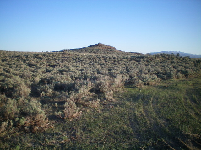
Ant Butte is located at the east end of Laidlaw Park in the Craters of the Moon National Monument. It is a minor hump with an impressive cairn atop it. No tourists here, just lots of cows. USGS North Laidlaw Butte
Ant Butte as viewed from the road junction to its southeast (start of hike). Livingston Douglas Photo
Access
From US-20 east of Carey, turn right/south onto [signed] North Laidlaw Road. This junction is 0.2 miles west of Fish Creek Road, which is well-signed. Drive south on North Laidlaw Road for 1.2 miles to an unsigned “T” junction. This is Laidlaw Park Road. It can also be approached directly from farther west on US-20 and the road quality should be fine. Turn left/southeast onto Laidlaw Park Road and drive 13.5 miles to reach a signed 4-way junction (5,078 feet on the USGS map). Go left here for Ant Butte and go right here for Corral Butte (Dean Brown Road). Turn left/north and drive 0.1 miles to a cattle guard crossing and an unsigned road junction. Park here (5,085 feet).
South Ridge, Class 2
The Climb
From the cattle guard, bushwhack northwest through tall sagebrush to reach the south ridge. Follow the sagebrush-covered ridge northward to the rocky summit. Ant Butte has no crater (as many Snake River Plain Buttes) but it has some steep ridges/gaps/undulations on its east face. Stay south of those problems when aiming to reach the crest of the south ridge.
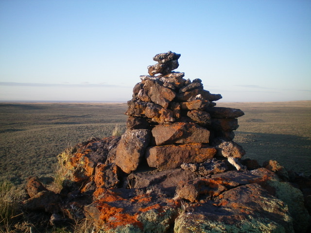
The tall summit cairn atop Ant Butte. Livingston Douglas Photo
Additional Resources