Elevation: 6,650 ft
Prominence: 120

This peak is not in the book. Published December 2020
Antelope Ridge is located on the south side of the Antelope Valley, northwest of Kilgore, ID. It is a rather nondescript, forested ridge with two possible summits based on the contour lines of the USGS topo map. The south summit is the high point. Although there is private land in this area, this climb is entirely on BLM land. USGS Antelope Valley

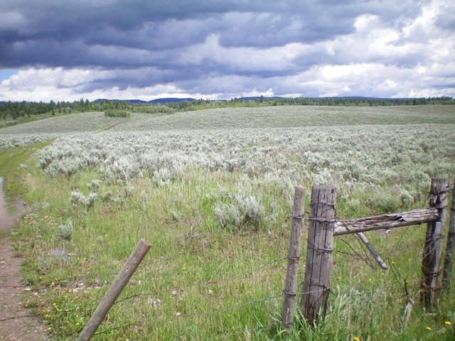
Antelope Ridge as viewed from the start of the hike. It is right of center in the forested area that is barely visible. This peak is barely discernible from ANYWHERE. Livingston Douglas Photo
Access
From Exit 167/Dubois on I-15, drive east on Main Street to the east end of Dubois, ID and a signed junction with the Dubois-Kilgore Road (signed for Kilgore and Yellowstone). Go left/north onto the Dubois-Kilgore Road. Drive all the way to a road junction at the southwest corner of Kilgore, ID. Continue right/east for a mile to a junction. Turn left/north and drive a mile to a “T” junction.
From the “T” junction, go right/east and drive 0.7 miles to [signed] Antelope Road. Turn left/north onto Antelope Road and drive north for 1.0 mile then east for 0.5 miles then north for 1.0 mile then east for 0.7 miles to an unsigned 2-track jeep road with a cattle gate on the left/north side of Antelope Road. Park here (6,380 feet). The Dubois Ranger District National Forest Map is helpful in following these road instructions as all of the turns can be confusing. All of these roads are shown on the National Forest map.
South Slopes, Class 2
The Climb
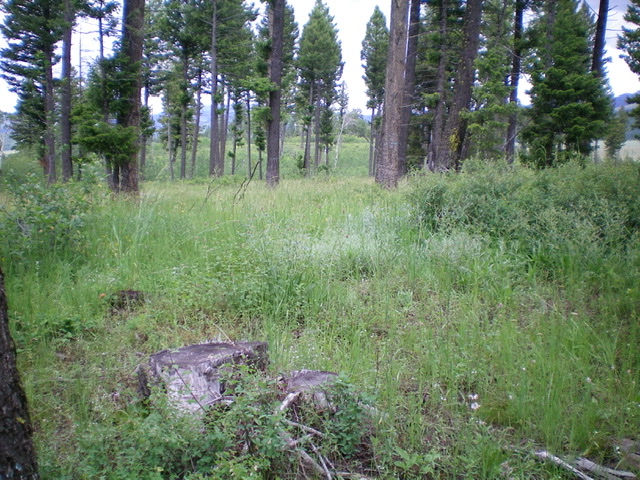
From the road junction, hike up the 2-track jeep road to where it goes right/east to leave a dry gully and climb to a ridge. Leave the road here and follow a weak 2-track that continues north up the dry gully. This 2-track ends at the head of the gully at a lateral ridge. Bushwhack up onto this ridge and follow it right/northeast then bend left/west-ish to reach the open forest of the south summit (the true summit). There is nothing on top but a mix of tree stumps (due to logging), some scattered live trees, and lots of brush. STOP HERE. There is no need to go any farther. THIS IS THE SUMMIT.
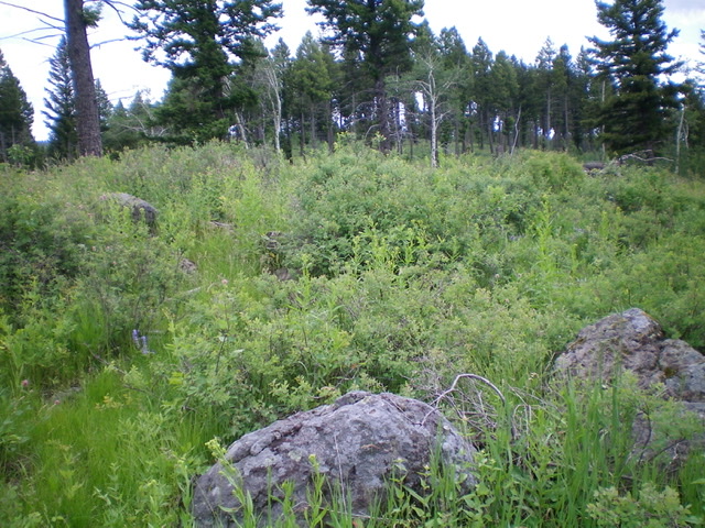
Not being sure whether the north summit is higher, I had to investigate it. From the south summit, I bushwhacked north along the broad semi-open, brushy ridge down 35 vertical feet to a minor gully/saddle then bashed my way north up through a thick patch of aspens to reach the north summit. This summit has a couple of ground boulders with thick brush/sage around them. Visually (and by altimeter measurement), the south summit is 5-10 feet higher than the north summit. LOJ is correct on this one, but it is close. The south summit is much more open than the north summit, which is clogged with brush and patches of thick aspens.

The south summit (true summit) of Antelope Ridge, looking toward the north summit. Livingston Douglas Photo

The summit boulder and thick brush atop the [lower] north summit of Antelope Ridge, looking south at the [slightly higher] south summit. Livingston Douglas Photo
Additional Resources
Regions: Centennial Range->EASTERN IDAHO
Mountain Range: Centennial Range
Longitude: -111.94601 Latitude: 44.44949