Elevation: 6,290 ft
Prominence: 20
This peak is not in the book. Published January 2023
Badger Knoll is a minor sagebrush hump located on the west side of Blackfoot North Access Road and just above the northeast edge of Blackfoot Reservoir. It is a short scramble from that road and even has a 2-track road crossing its east side. USGS Reservoir Mountain
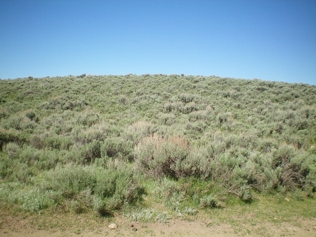
Badger Knoll, a sagebrush-covered hump, as viewed from the road junction. Livingston Douglas Photo
Access
From ID-34 just north of Henry, turn left/west onto [signed] Blackfoot North Access Road (shown as North Reservoir Road on the USGS topo map). Drive about 9.3 miles to an unsigned 2-track road that heads left/west at Badger Knoll. Park at this road junction (6,255 feet on the USGS topo map).
East Face, Class 2
The Climb
From the road junction, scramble west up a sagebrush slope to reach the north end of the sagebrush-covered summit plateau. I believe that this is the high point of Badger Knoll. But just to be sure, bash south through moderately-thick sagebrush to reach the [more open] south summit. The south summit looks slightly lower and measures slightly lower, according to my altimeter. But, when standing on it, the north summit appeared to be slightly lower. Stand on both summits just to be sure. The map does not help since there is no measured summit point. In addition, there is no summit cairn on either of the potential summits. From the south summit, bushwhack a short distance east to intercept a 2-track road and follow it northeast back to the road junction and your parked vehicle.
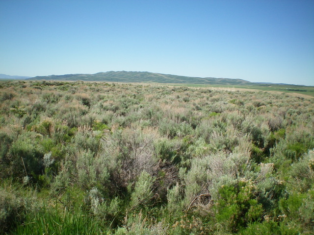
The sagebrush-covered summit of Badger Knoll. Livingston Douglas Photo
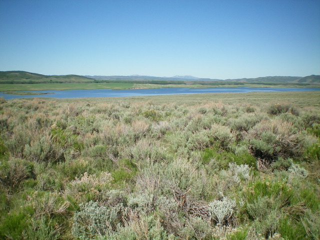
View of nearby Blackfoot Reservoir from the summit of Badger Knoll. Livingston Douglas Photo
Additional Resources
Regions: Blackfoot Mountains->SOUTHERN IDAHO
Mountain Range: Blackfoot Mountains
Longitude: -111.6496 Latitude: 42.9822