Elevation: 10,744 ft
Prominence: 1,604
Climbing and access information for this peak is on Page 304 of the book. Livingston Douglas provided the new southwest shoulder route set out below as well as updated access information. Updated December 2019
Bear Mountain is located west of the main Lemhi Range Crest and south of Iron Creek Point. Its position “out in the valley” makes it great view mountain with a superb 360-degree vista. The book contains one route which begins at the saddle between Bear Mountain and Iron Creek Point. Down the page, you will find route information for a traverse from Peak 10112 and for climbing the peak’s south face. USGS Moffett Springs
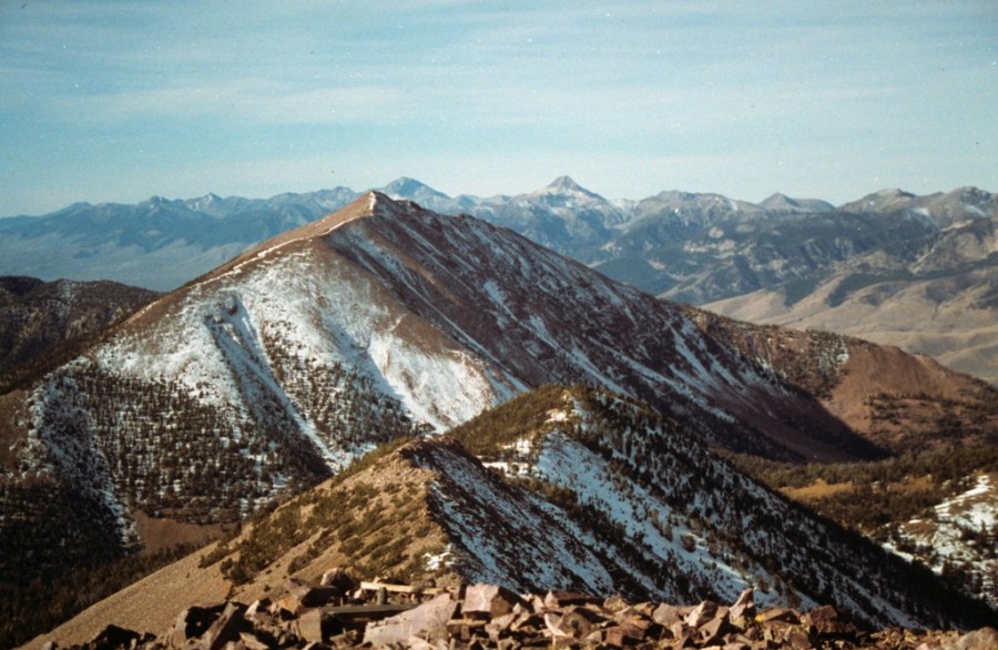
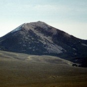
Bear Mountain as viewed from Iron Creek Point
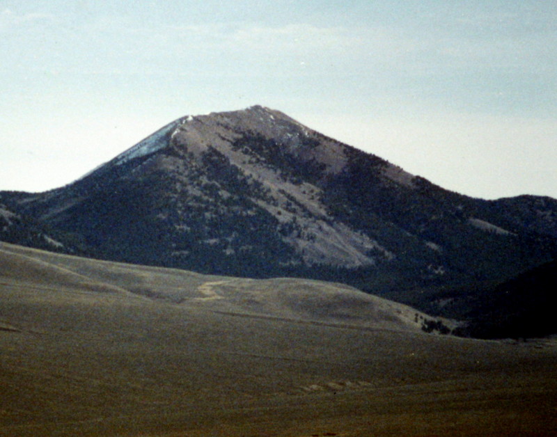
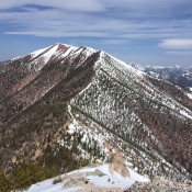
Bear Mountain as viewed from the northwest
Bear Mountain to Peak 10112 (Little Bear Peak) Ridge Traverse, Class 2-3
The ridgeline between Bear Mountain and Peak 10112 is an enjoyable section of Lemhi Range terrain. I crossed it when it was mostly covered by snow. The ridge has two low spots which are closer to Peak 10112 than Bear Mountain. The east end of Bear Mountain’s summit ridge is the most challenging section of the traverse as it is as close to knife-edged as you can get without significant exposure. With the snow gone, this section of the ridge might have a couple of Class 3 sections. If covered with snow, carry an ice axe.
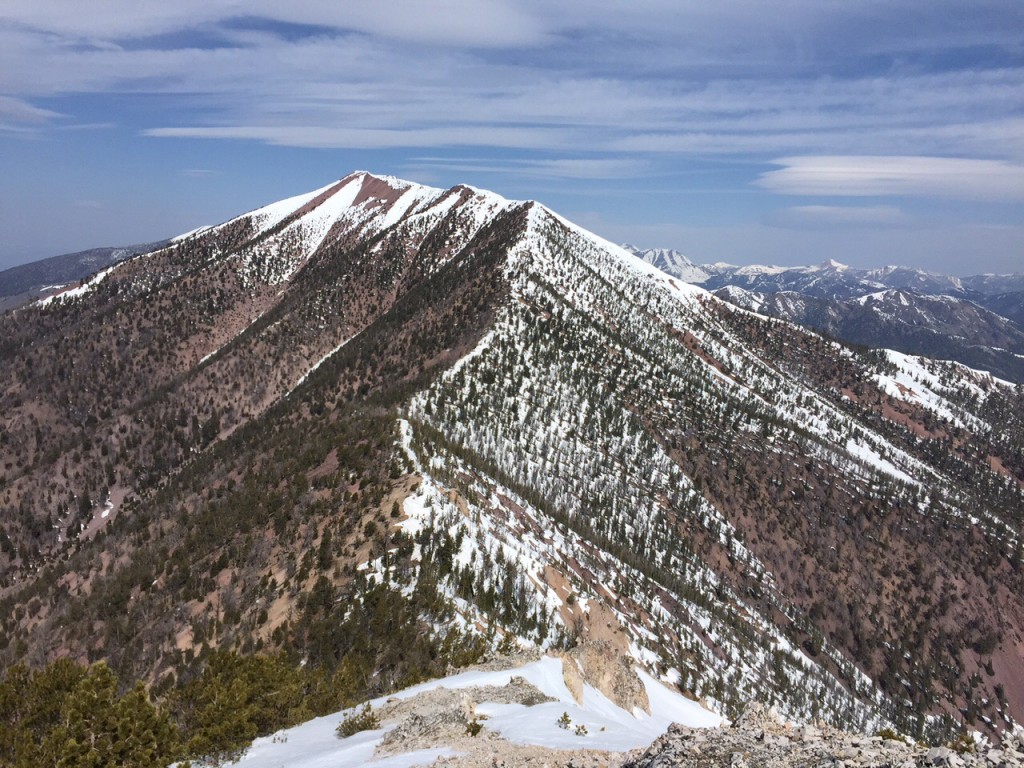
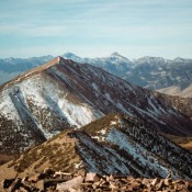
Bear Mountain as viewed from Peak 10122. The entire traverse is visible in this photo.
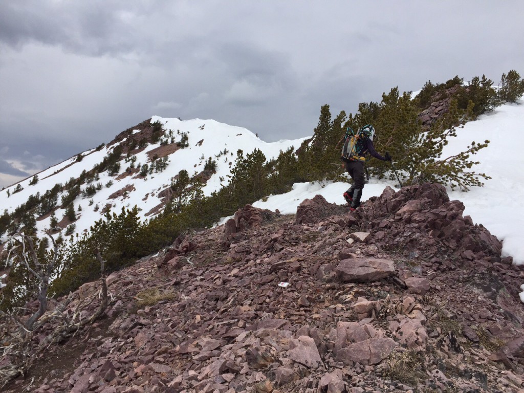
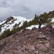
The majority of the traverse is on a broad forested ridge. Just ahead of this climber, the ridge narrows and becomes a bit more challenging.
South Face Routes, Class 2
Bear Mountain’s broad south face offers a number of feasible lines which are reached from Summerhouse Canyon. The road is passable to high-clearance vehicles when dry although I recommend a 4WD with good tires since the road is rocky. There is a good parking spot at 7,400 feet. The middle rib provides the most direct line to the top. Access from the Little Lost River Highway (dirt) is found roughly 2.2 miles north of the Summit Creek Campground. Turn right onto Summerhouse Canyon Road and follow it toward the mountains for 1.25 miles to an intersection. Turn right, cross a ditch and then turn left. Follow this road as far as you can get into Summerhouse Canyon.
The GPS track below shows the line I descended and the photo show other possible lines. The lower sections of the face are forested and the upper sections are talus without any significant obstacles.
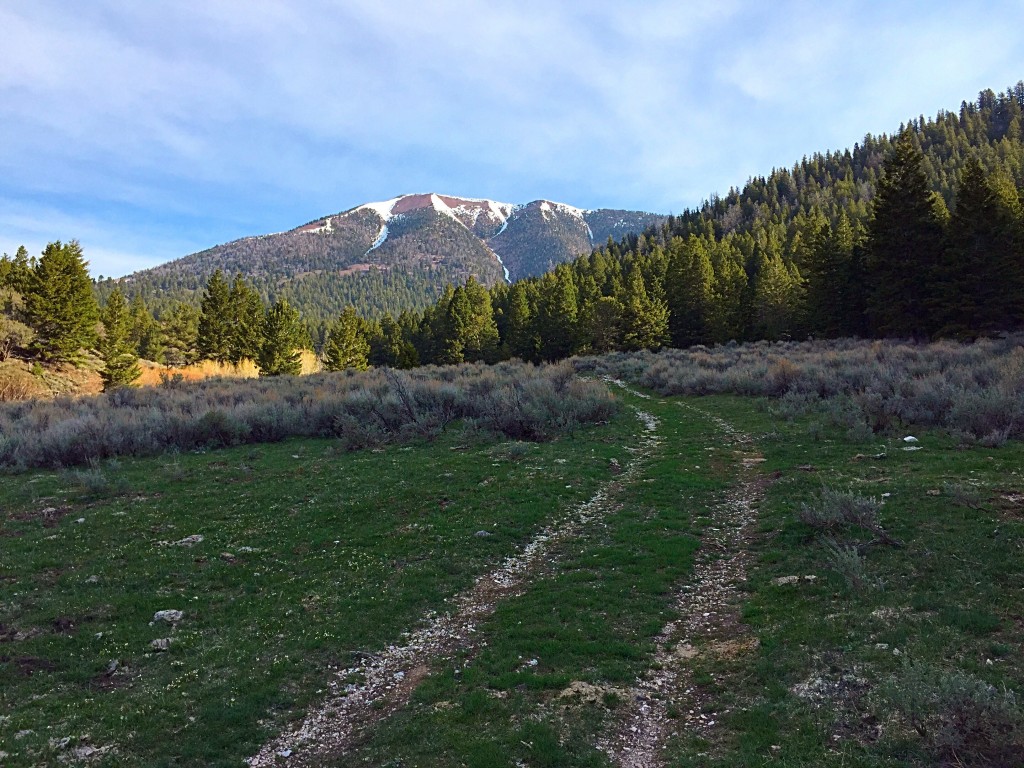
The meadow at 7,400 feet in Summerhouse Canyon with Bear Mountain in the distance.
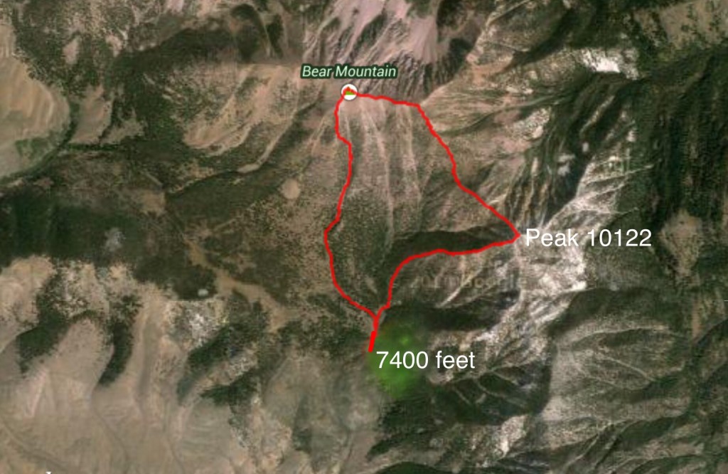
My GPS track for Peak 10122 and Bear Mountain.
Southwest Shoulder, Class 2+ by Livingston Douglas
Access
Access is via Big Gulch Road/FSR-099 [(C)(5) on Page 317]. Drive up FSR-099 to an open meadow at 8,100 feet. Park here in a pullout area. With the appropriate vehicle, you can drive all the way up FSR-099 to a saddle that lies at the head of both Big Gulch Canyon and Summerhouse Canyon.
The Climb
From the open meadow (8,100 feet), get a good look at the southwest aspect of Bear Mountain. You have a clear view of it from here. The southwest shoulder is obvious and lies just to the right/south of a prominent gully that splits the southwest face. Leave the meadow and bushwhack east across a small stream and into the dense forest. Work your way left/north to reach the forested shoulder. The gulch to the left (north then northwest) of the shoulder is whitish gray rock and is unmistakable.
At about 8,750 feet, the shoulder steepens considerably. The forest isn’t too dense and the blowdown is modest here. For a good 1,000 vertical feet, the shoulder is quite steep. You will be on all fours at times to make progress up the steep gravel and pine duff. It is a real grind. The slope moderates when you reach tree line. At this point, a wide gully is to the left/northwest and the south ridge is to the right/east with another gully (of sorts) in between.
The rocky slope above tree line is somewhat steep and loose. It is a combination of boulders (some) and talus/scree (a lot). The southwest shoulder and south ridge merge just below the summit. The summit area is small and rocky. It has a modest cairn with triangulation posts and wiring nearby.
Additional Resources
