Elevation: 6,220 ft
Prominence: 2,018
Climbing and access information for this peak is on Page 84 of the book. This entry expands on the information found in the book. Updated August 2021
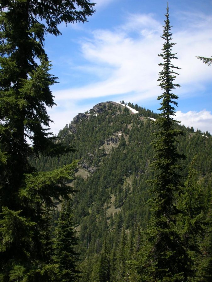
Bennett Peak is the high point of the Shoshone Range. It is also the 87th most-prominent Idaho summit. USGS Pond Peak
Bennett Peak. Ken Jones Photo
Access
Coeur D’Alene River Road [(2)(a) on Page 56]. The Coeur D’Alene River Road leaves I-90 at Exit 43 (7.0 miles west of Kellogg, Idaho). Follow the wandering river road northeast and then northwest to Pritchard, Idaho in 22.0 miles. The road is then designated FSR-208. Continue on FSR-208 from 6.9 miles to the Little Guard Peak Road FSR-602. This junction is located at the south end of the Shoshone Range.
Little Guard Peak Road, FSR-602. This road leads to the fire lookout on Little Guard Peak in 11.0 miles. The road is reportedly regularly maintained but the last couple of miles require a high-clearance vehicle.
Shoshone Crest Trail FST-81. This trail leaves FSR-602 roughly 10.0 miles from the road’s start. The trail then follows the range’s crest northwest. Use this well-maintained trail to access the Western Slopes of Bennett Peak. Leave the trail and climb to the summit ridge. The northernmost end of the summit ridge is the high point. This route is 3.6 miles round-trip with just under 1,000 feet of elevation gain.
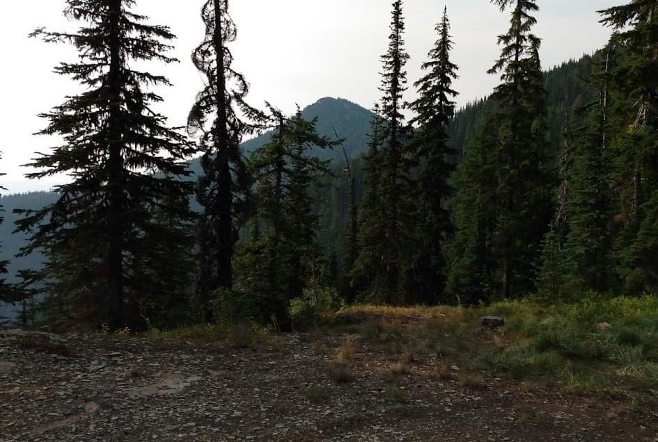
Trail starts here and heads to Bennett in the distance. Terri Rowe Photo
Additional Resources
Regions: Bitterroot Mountains->NORTHERN IDAHO->Shoshone Range
Mountain Range: Bitterroot Mountains
Longitude: -116.03569 Latitude: 47.82679