Elevation: 2,980 ft
Prominence: 320
This peak is not in the book. Published November 2023
Best Hill is a forested hill that is located on the northeast side of Coeur d’Alene. It sits above Cherry Hill Park. This area is a mix of private and public (City of Coeur d’Alene) land, so be careful. This route is on City of Coeur d’Alene land but skirts private land up near the summit. There is no fencing or signage to prohibit climbing this route. USGS Fernan Lake
Access
Cherry Hill Park is located just off I-90 at East Hazel Avenue. Park in the large parking area at Cherry Hill Park, which is a popular destination for locals and has several hiking trails and a BMX bike facility. The elevation on the north side of the parking lot is about 2,170 feet. There is a service road that goes up past some private residences to reach the communication towers atop the west summit (Point 2882). That road may or may not be open to the public.
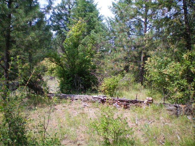
The summit of Best Hill. Livingston Douglas Photo
South Shoulder/West Ridge, Class 2
The Climb
From the parking area at Cherry Hill Park, hike up paved trails to the BMX bike “playground.” From there, angle left/north over onto a steep, grassy face that leads up to a grassy, forested shoulder. Once on the crest of the shoulder, scramble north up the steep shoulder to Point 2882. The shoulder is a mix of pines and grass. It crosses the service road twice on the way to antenna-clad Point 2882. From Point 2882, descend east to a saddle using the service road to get there.
From the saddle, leave the road and skirt the left/north edge of a large private residence on the edge of a very thick pine forest that is to the left/north of the open terrain. Once past the residence, bushwhack east near the ridge crest in a thick pine forest to reach the semi-open summit of Best Hill. The bushwhack is tolerable thanks to some gaps and game trails in the brush. I built a small cairn on a fallen log near the high point, which is a large pine tree. The summit is forested with a good understory of grass and brush. Summit views are limited.
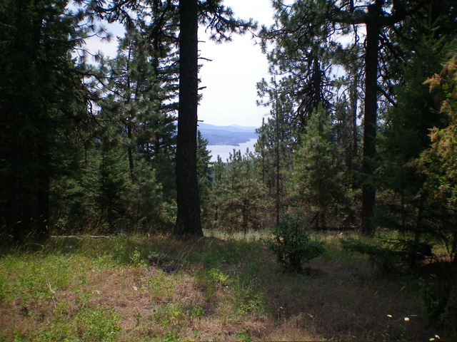
Summit view from atop Best Hill. Livingston Douglas Photo
Additional Resources
Regions: Coeur d'Alene Mountains->NORTHERN IDAHO
Mountain Range: Coeur d'Alene Mountains
Longitude: -116.7489 Latitude: 47.6957