Elevation: 7,810 ft
Prominence: 1,375

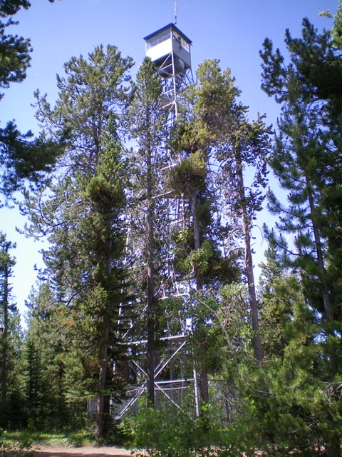
This peak is not in the book. The Bishop Mountain Lookout and its cabin were constructed between 1936 and 1938 by the Civilian Conservation Corps. The lookout and cabin were added to the National Register of Historic Places in 1986. The cabin is currently available as a rental through the recreation.gov website linked below. Note that Livingston climbed the peak during a hike that linked together two other peaks. As an alternative, as Livingston points out, the summit can be reached directly by road. Published November 2020
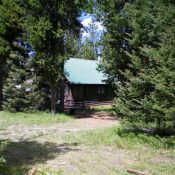
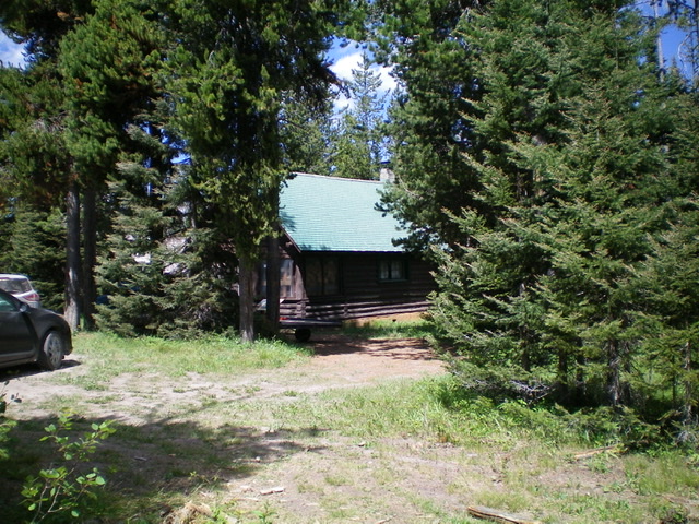
Bishop Mountain is a steep-sided, forested peak that sits at the head of Green Canyon. It is located southwest of Green Canyon Pass. Bishop Mountain has an operational lookout tower on top as well as a decent jeep road to the top and a nice cabin (available for summer rentals) on the thickly-forested summit. This climb is the second peak in a 3-peak adventure that includes Thurmon Ridge (7,338 feet), Moonshine Mountain (6,931 feet), and Bishop Mountain (7,810 feet). USGS Bishop Mountain
Driving Access
From Ashton, ID, travel north on Highway 20 for 16 miles, then turn left (west) on North Antelope Flat Road (#168). Travel 7.5 miles to Bishop Mountain Road (#120) and then turn right (north) and travel for about 5.4 miles. The road dead ends at the cabin.
Hiking Access
Same as for Thurmon Ridge. This is the final leg of a 3-peak journey.
East Ridge, Class 2
The Climb
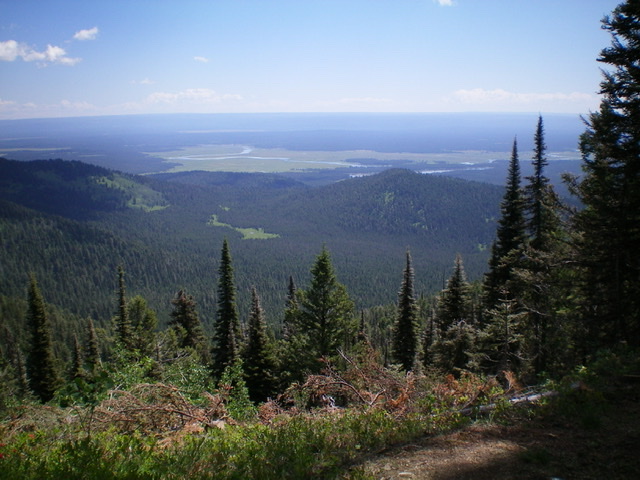
From the junction of FSR-170 and Green Canyon Road at the base of the east face of Bishop Mountain, bushwhack west up onto the rounded east ridge. This bushwhack is short but steep and thick, including chest-high vegetation in a forest. Once on the east ridge, follow it upward to the top of the ridge (with the help of a game trail at times) to reach the Bishop Mountain Road/FSR-120 just below the gated closure. Go right/northwest on FSR-120, go through the gate, and continue up the road to the summit area. The summit of Bishop Mountain has a lookout tower and a cabin available for summer rentals. It only has partial views due to the thick forest on the summit area. However, there is a nice view to the east.
North Ridge/East Spur, Class 2
The Descent
From the summit, bushwhack north through wickedly dense forest down a face with no visibility to intercept FSR-570 (not shown on the USGS topo map). Follow this jeep road east then north as it tracks the left/west side of the north ridge of Bishop Mountain. Leave the road and bushwhack 100 vertical feet up over Point 7600+ on the north ridge. Descend east through the forest (with limited visibility) to find a shoulder that heads down to Green Canyon Pass. Cross two minor dry gullies as you approach Green Canyon Road and walk up south the road a short distance to reach the pass. The shoulder descent wasn’t too bad, though it did have a few thick sections. The dry gullies had a good share of brush/veg in them but they were short-lived sections.
Additional Resources
Regions: Centennial Range->EASTERN IDAHO
Mountain Range: Centennial Range
Longitude: -111.55339 Latitude: 44.33339


