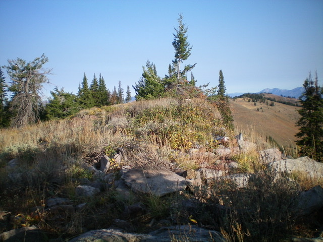
Elevation: 8,980 ft
Prominence: 2,080
Climbing and access information for this peak is on Page 370 of the book. Published November 2020
Black Mountain is a LONG ridge and is readily visible from US-89 in Wyoming south of Alpine Junction near the ID/WY border. As a P2K peak, Black Mountain is a sought-after prize to many climbers. The middle summit is the high point of Black Mountain. It is located about 0.8 miles north of the antenna-clad south summit. USGS Tincup Mountain
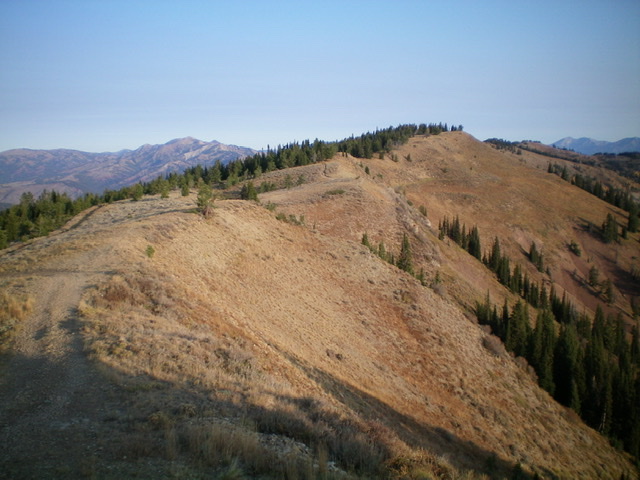
The true/middle summit of Black Mountain as viewed from the south summit/Lower Black Benchmark. The true summit is right of center. Livingston Douglas Photo
Access
Same as for Lower Black Benchmark. This is the final leg of a 2-peak journey that begins at the end of Deep Creek Road/FSR-070. From the junction of US-89 and Greys River Road in Alpine, WY (Alpine Market and Family Dollar are nearby), drive south on US-89 for 9.1 miles to [signed] Creamery Road/CR-111. Turn right/west onto CR-111 and drive 3.5 miles to an unsigned junction. Turn right/north (this is Deep Creek Road/FSR-070) and drive 4.5 miles to the end of the road. Park here (7,280 feet). Please note that the USGS topo map does not show FSR-070 going this far up Deep Creek, but it does.
South Ridge, Class 2
The Climb
From the connecting saddle with Lower Black Benchmark, follow the ridge north to the middle/true summit of Black Mountain. The terrain is relatively easy scrub with some scattered pines and one or two rocky outcrops. The ridge traverse goes quickly and there is no trail to the summit. The summit of Black Mountain is a small ridge crest hump thick with brush and some ridge pines. The summit cairn is in a bushy area of willows. The summit offers a splendid view of Alpine, WY and the Snake River, the Salt River (WY), and the upper end of the Palisades Reservoir.
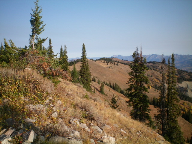
Looking south along the ridge line from the true summit of Black Mountain. The antenna-clad south summit is in the distance. Livingston Douglas Photo
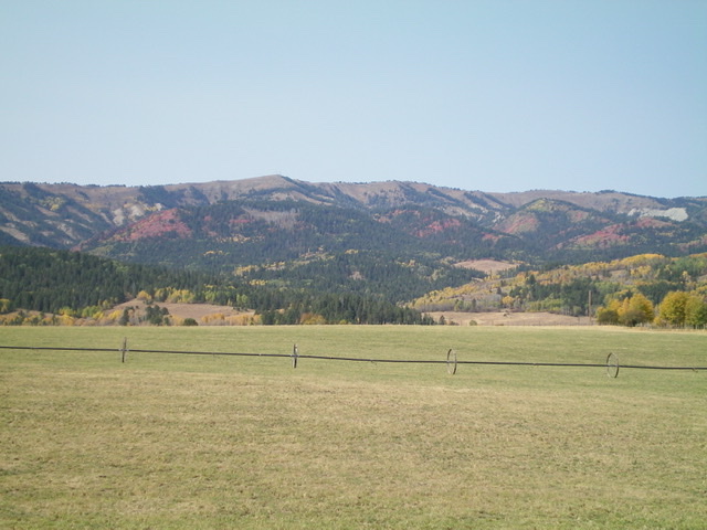
Black Mountain as viewed from US-89 to its east. The true/middle summit is in dead center. The south summit is the antenna-clad hump to the left that appears to be higher, but it is not. Livingston Douglas Photo
Additional Resources
Regions: Caribou Range->SOUTHERN IDAHO
Mountain Range: Caribou Range
Longitude: -111.12759 Latitude: 43.11369
