Elevation: 5,109 ft
Prominence: 49
This peak is not in the book. Published January 2023
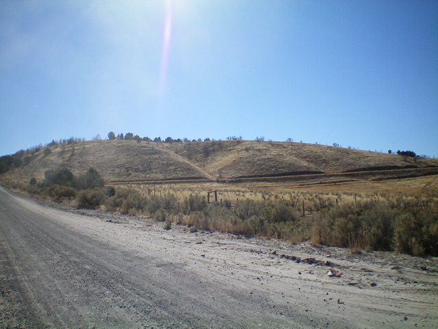
Blue Hill is located on the east side of Goose Creek in the foothills of the Albion Mountains. It sits above Blue Hill Creek but is overshadowed by higher mountains to its east and west. USGS Blue Hill
Blue Hill as viewed from Goose Creek Road to its north. Livingston Douglas Photo
Access
From the end of ID-27 in downtown Oakley, turn right/west onto Main Street and drive 0.4 miles to a signed junction with Goose Creek Road (signed for the Oakley Reservoir, which is shown on maps as the Lower Goose Creek Reservoir). Turn left/south onto Goose Creek Road and reset your odometer. At 8.2 miles, reach [unsigned] Wilson Pass, the road crest for Goose Creek Road. There is an unsigned road junction here.
Continue straight/south on Goose Creek Road. At 10.0 miles, reach a signed junction with Wilson Gulch Road (right). Continue straight. At 13.9 miles, reach a signed junction with Emery Creek Road (left). Continue straight. At 14.6 miles, reach a small saddle/pullout on the southeast side of Blue Hill. Park here (5,010 feet). GPS coordinates: 42⁰03’08”N, 113⁰56’03”W.
Southeast Face, Class 2
The Climb
From the road saddle, scramble up the steep scrub-and-rock face to the summit plateau. The high point is, as per the USGS topo map, at the southeast end of the tilted plateau. There is no summit cairn but a protruding ground boulder seems to be the high point.
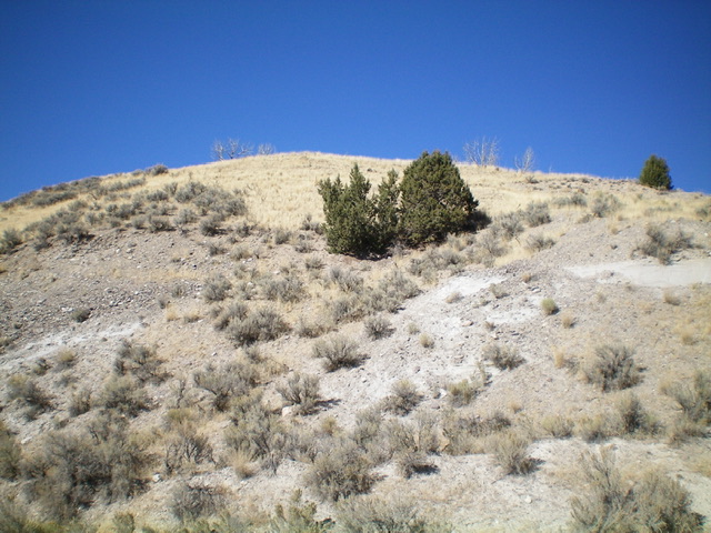
The grassy southeast face of Blue Hill (my ascent route). Livingston Douglas Photo
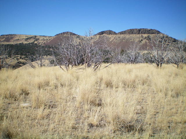
The grassy, dead juniper-clad summit of Blue Hill. Livingston Douglas Photo
Additional Resources
Regions: Albion Range->SOUTHERN IDAHO
Mountain Range: Albion Range
Longitude: -113.93469 Latitude: 42.05301