Elevation: 7,780 ft
Prominence: 520
This peak is not in the book. Published July 2018
One of 6 Idaho peaks named Buck Mountain, this peak is located NNW of the Landmark Guard Station. This rounded peak is graced by numerous meadows and cursed by many thickets of new growth interspersed with downfall. There are probably a dozen or more ways to reach its summit. I chose the highest available starting point. USGS Landmark

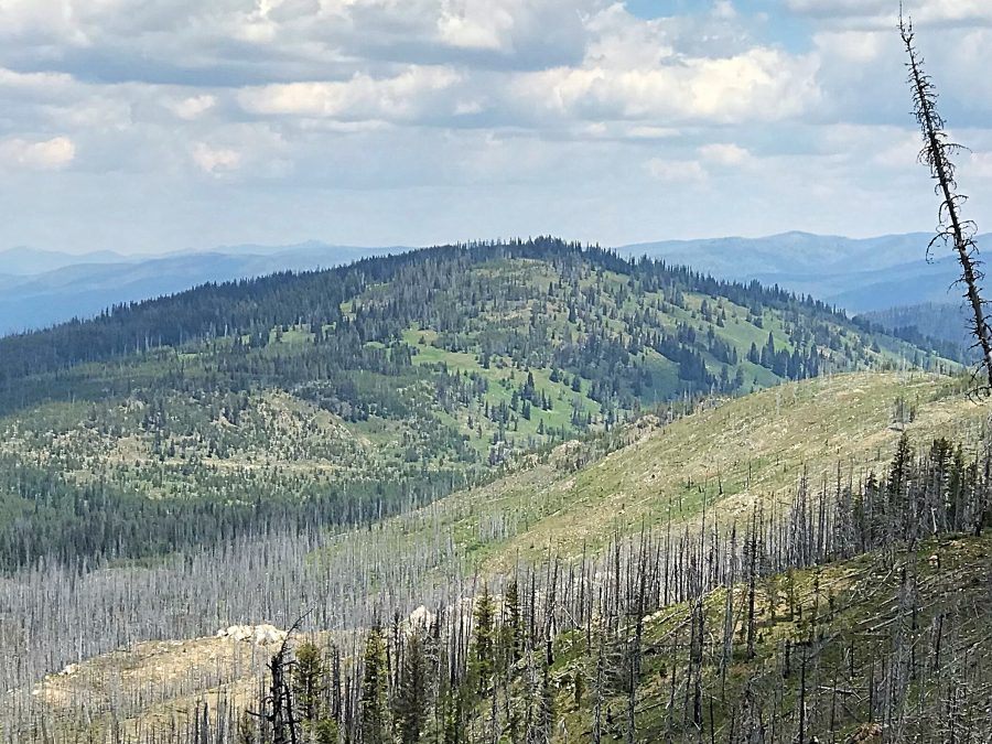
Buck Mountain as viewed from Peak 7740.
Access
Johnson Creek Road/FS-413 [(C)(1.3) on Page 139] provides good access to this peak. Follow the road north from the Landmark Guard Station. Just past the small Buck Mountain Campground, turn west onto FS-415. Follow this road west to its unsigned junction with FS-415B. FS-415B is gradually returning to the earth but was passable in 2018. Follow the road to either the 7010 entry on the USGS quad or to its end at 7,128 feet.
Southwest Ridge, Class 2
This broad ridge is a mess of downfall and new growth in its lower stretches. At roughly 7,300 feet, the Southeast Side of the ridge opens up with stunning meadows and, of course, some downfall. I walked around the large summit area for quite a while until I felt comfortable that I had crossed the high point. There are no views from the top but there are nice views from the upper Southwest Ridge.
Additional Resources
Regions: Central Salmon River Mountains->Johnson Creek - Middle Fork Divide Peaks->Salmon River Mountains
Mountain Range: Central Salmon River Mountains
Year Climbed: 2018
Longitude: -115.56639 Latitude: 44.68819