Elevation: 7,562 ft
Prominence: 112
This peak is not in the book. Published January 2023
Campbells Hump (or Coal Benchmark) is a nice rocky outcrop that is located on a ridgeline that separates the North Fork of Packsaddle Creek from the South Fork of Packsaddle Creek. The headwall on its south face is magnificent and makes for a nice Class 3 scramble. USGS Packsaddle Lake
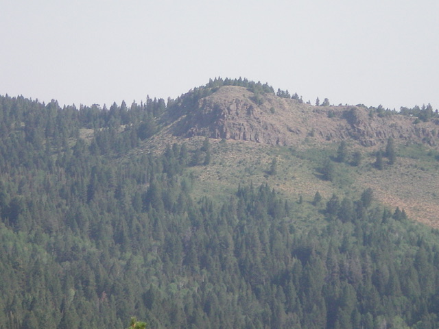
Campbells Hump as viewed from Idaho Ridge (zoomed photo). Livingston Douglas Photo
Access
From the center of Driggs on ID-33, drive west on Bates Road for 6.3 miles. The road bends right/north and becomes S7000W. Drive north on S7000W for 1.0 mile to an unsigned junction. Reset your odometer here. Go left/west at this junction onto [unsigned] Horseshoe Creek Road/FSR-235. At 0.3 miles, the road bends left/southwest (sign for “Horseshoe Campground” here). At 1.6 miles, reach the Targhee National Forest boundary. At 3.4 miles, reach a road junction and a large trailhead parking lot and bathroom. Go right/north here to stay on FSR-235. At 5.5 miles, cross over Packsaddle Pass. At 6.8 miles, reach a signed junction with FSR-508. Park here (6,795 feet).
South Face, Class 3
The Climb
From the road junction, hike northwest up a weak 2-track road on the right/east side of a small drainage. After about ¼ mile, go right/north onto another weak 2-track road. This road heads north then northwest up a shoulder. Leave the 2-track road higher up to bushwhack north directly at the summit block/south face. The initial bushwhack is through a thick aspen/pine forest with lots of brush and some blowdown. Emerge from the thick forest and be greeted by a steep face of thick sagebrush and other brush. Bash up through this mess to reach the base of the south face. Climb up a gully on the right/east side of the face on a combination of ridge rock (solid) and loose scree/gravel to reach the gentle summit area. There are three USGS benchmarks on top but no summit cairn.
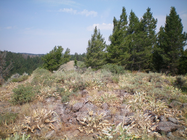
The summit of Campbells Hump, looking northwest. Livingston Douglas Photo
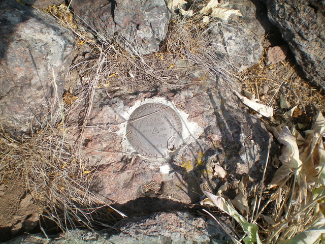
The official “Coal” USGS benchmark atop Campbells Hump. Livingston Douglas Photo
Additional Resources
Mountain Range: Big Hole and Snake River Mountains
Longitude: -111.32059 Latitude: 43.76359