Elevation: 4,100 ft
Prominence: 400
This peak is not in the book. Published November 2023
Carrill Peak sits on the south side of Carrill Creek and east of beautiful Coeur d’Alene Lake in the Coeur d’Alene Mountains. It is easily reached via a 2-mile foot trail that comes southwest from FSR-439. USGS Mount Coeur d’Alene
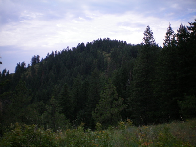
Carrill Peak as viewed from the southeast. Livingston Douglas Photo
Access
From the south side of Exit 28 on I-90, drive west then south on [signed] FSR-614 for 10.6 miles to an unsigned 3-way road junction. Go straight onto the middle road (FSR-439) and drive 1.7 miles to a large pullout area and a hidden, unsigned junction with an MC/foot trail (not shown on the National Forest Map but shown incorrectly as FSR-808 on the USGS topo map) that heads southwest along a ridgeline to Carrill Peak. Park here (3,982 feet; 47⁰33’01”N, 116⁰38’54”W).
East Ridge/South Face, Class 1
The Climb
From the unsigned trailhead, hike southwest along the easy-to-follow trail as it descends for the first mile to reach a ridge saddle at 3,700 feet. Continue southwest then west as the trail climbs to an unsigned “T” junction with another well-beaten trail on the east ridge of Carrill Peak. Head right/northwest on this second trail as it heads northwest then west then southeast as it curls around to the south side of the peak.
Leave the trail and follow a use trail directly up the south face to the semi-open summit. The summit of Carrill Peak has four concrete pilings (for a fire tower or radio tower). There was no summit cairn so I built a modest one on the high point. The summit offers a nice view of Coeur d’Alene Lake in the distance.
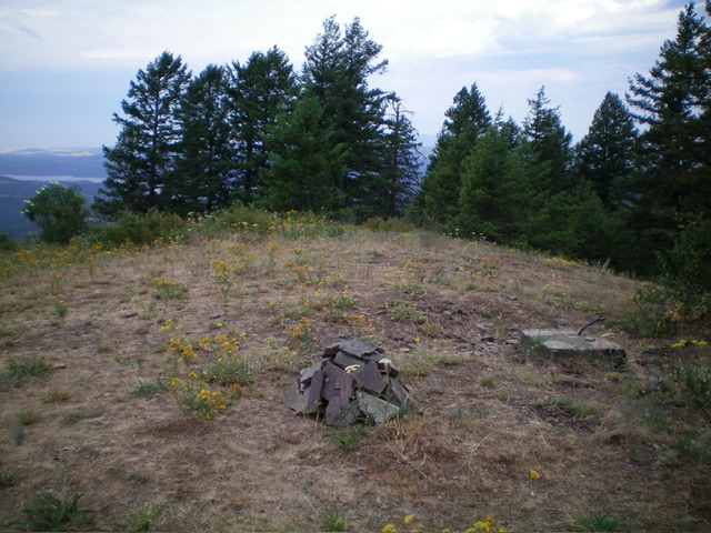
The summit of Carrill Peak with its newly-built cairn. Livingston Douglas Photo
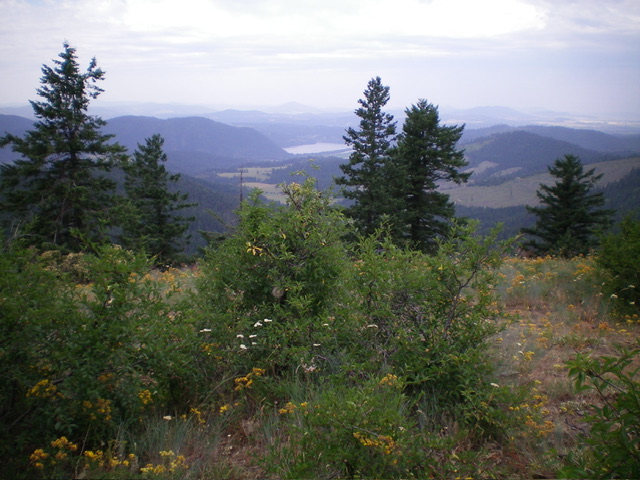
Summit view from atop Carrill Peak. Livingston Douglas Photo
Additional Resources
Regions: Coeur d'Alene Mountains->NORTHERN IDAHO
Mountain Range: Saint Joe Mountains
Longitude: -116.6810 Latitude: 47.5407