Elevation: 6,877 ft
Prominence: 347
This peak is not in the book. Published April 2021
Clover Mountain is located southwest of Rough Mountain at the eastern end of the Owyhee Mountains. Because it is situated away from roads, it is not readily visible and is often ignored. This is unfortunate because the hike to its summit is one of the nicest walks in the range. Like many Owyhee Mountains’ summits, public and private land are intermixed. Although private land blocks the most direct route to the summit, there is a good bypass available. USGS Clover Mountain
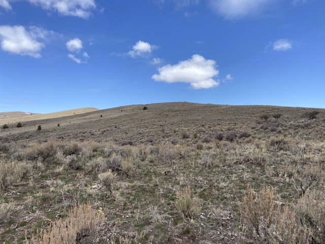
Clover Mountain’s broad south ridge
Access
From the junction of ID-78/ID-167 in Grand View, Idaho drive east on ID-78 for 2.1 miles. Take a slight right onto the Mud Flat Road (which is part of the Owyhee Scenic Byway). Follow this good paved (and then gravel) road for 28 miles. Turn right/north onto Castle Creek Road which is an occasionally-maintained dirt road. Follow this road north for 0.7 miles where the road reaches a gate. This gate is on public land. Pass through the gate and drive a short distance down the hill to a junction where the Castle Creek Road turns hard to your left. Park here.
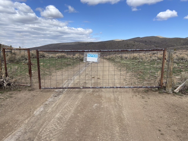
The gate at 0.7 miles
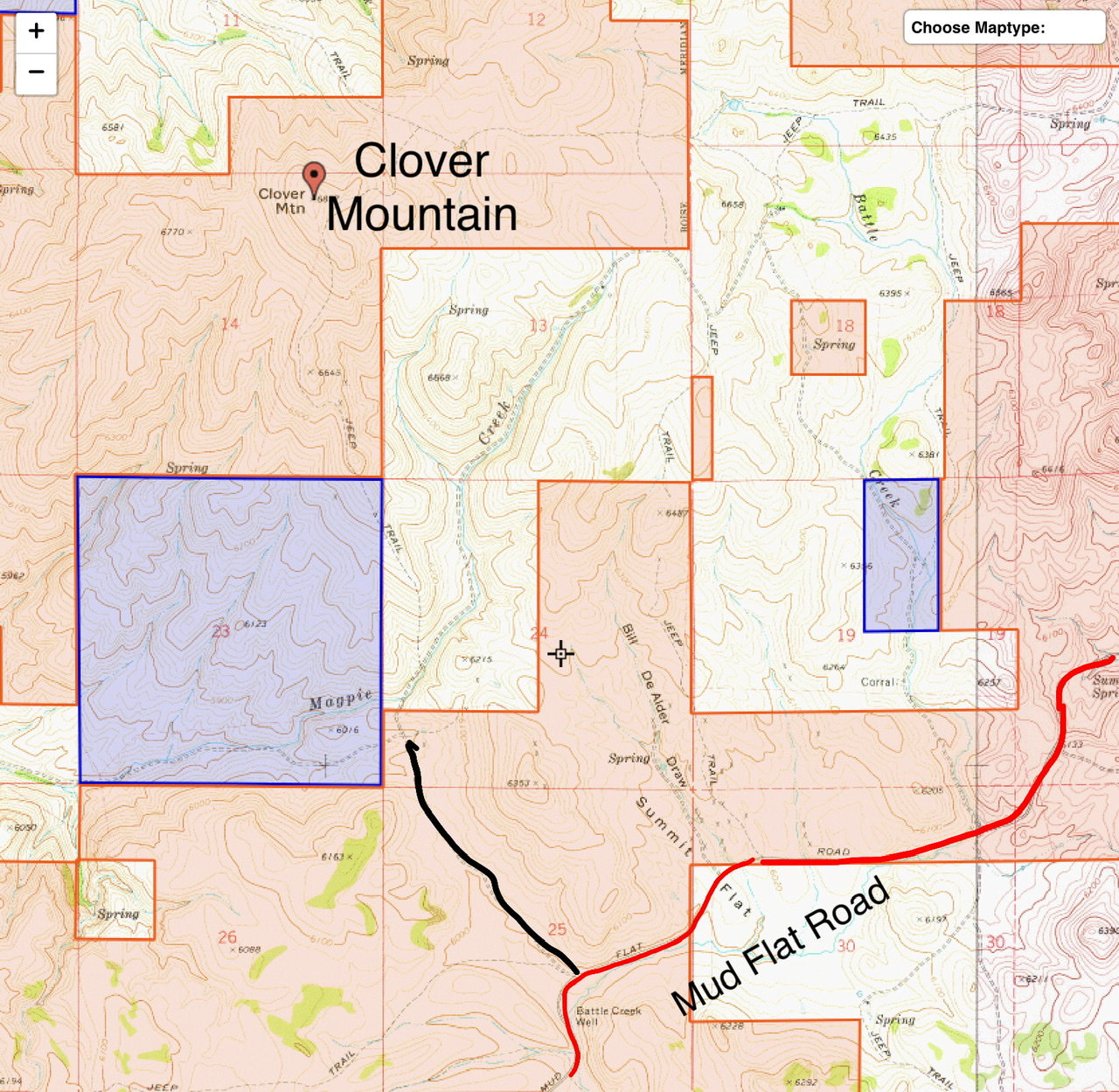
This map shows the land status around Clover Mountain. Tan = BLM. Purple = State of Idaho. White = Private.
South Ridge, Class 2
From the parking spot, hike north up to the gate marking the beginning of private land. Follow the fence line west until you are on Section 23 which is State of Idaho land. Cross the fence and descend to Maggie Creek. Cross the creek and climb due north up the sagebrush slope. You will eventually reach the 4WD road that climbs out of the private property to the top of the peak’s south ridge. Follow the road to the summit area where you will find three fences coming together. Cross the fence and walk a short distance to the high point. Jon Fredland placed a register in the summit cairn.
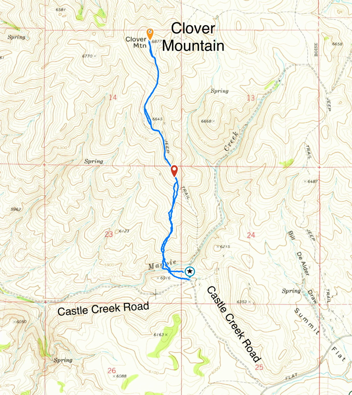
My GPS track. Section 23 is State of Idaho land. Stay in Section 23. My route covers 4.1 miles with 917 feet of elevation gain round trip.
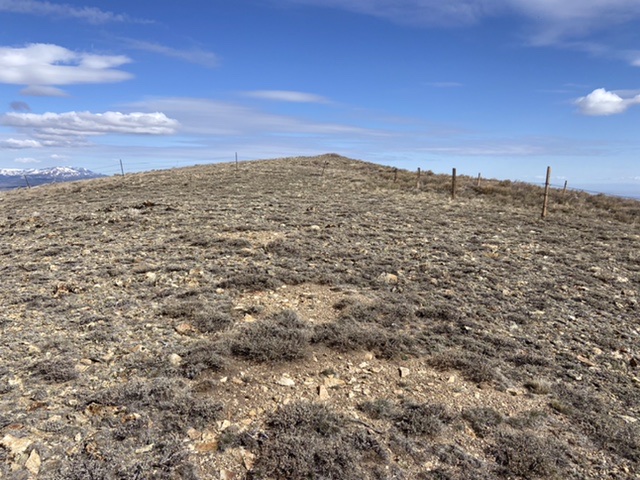
The summit is just beyond the fence
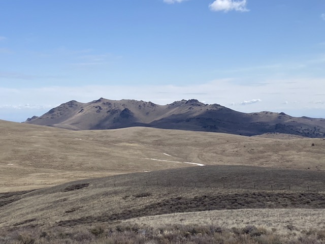
Rough Mountain as viewed from Clover Mountain
Additional Resources
Regions: Owyhee Mountains->SOUTHERN IDAHO
Mountain Range: Owyhee Mountains
Year Climbed: 2021
Longitude: -116.41839 Latitude: 42.73479