Elevation: 4,753 ft
Prominence: 293
This peak is not in the book. Published November 2023
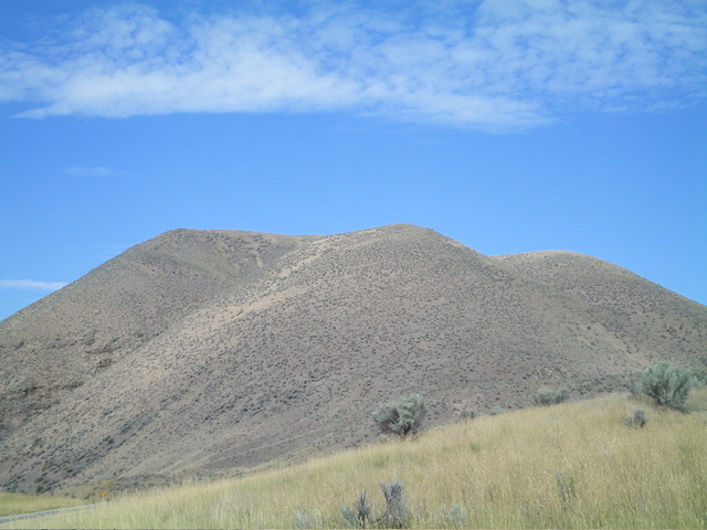
Comet Benchmark is a rock-and-scrub hump that towers over US-93 at a sharp bend in the highway between Tower Road and Kriley Gulch Road north of Salmon. It is most easily climbed via its southeast ridge from US-93. This climb is entirely on BLM land. USGS Bird Creek
Comet Benchmark and its multiple high humps as viewed from the southeast. Livingston Douglas Photo
Access
Park in a large, paved pullout along US-93 north of Salmon. This pullout is at the base of the southeast ridge of Comet Benchmark. It is at virtual MM316.7 and is 2.2 miles south of Kriley Gulch Road. The pullout is at 3,790 feet and 45⁰19’59”N, 113⁰54’49”W.
Southeast Ridge, Class 2
The Climb
From the parking pullout, cross to the north side of US-93. Jump a dilapidated BLM cattle fence near the highway. Bushwhack steeply northeast then north to reach the crest of the southeast ridge. The terrain is short grass/scrub with a loose underlying base of scree and dirt, but it goes pretty quickly. Avoid patches of steep scree whenever possible. Follow the ridge northwest in easy, short scrub/grass to reach a flattish area with a small ridge hump.
Drop 10 vertical feet from the hump in easy grass to a minor saddle. Continue northwest then west up a final steep-ish section of scrub/grass to reach the open summit. The summit of Comet Benchmark has a USGS benchmark but lacked a summit cairn, so I built one. The summit offers a stunning view of the Salmon River Valley to its south.
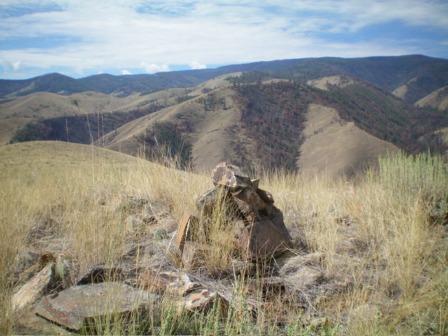
The newly-built summit cairn atop Comet Benchmark. Livingston Douglas Photo
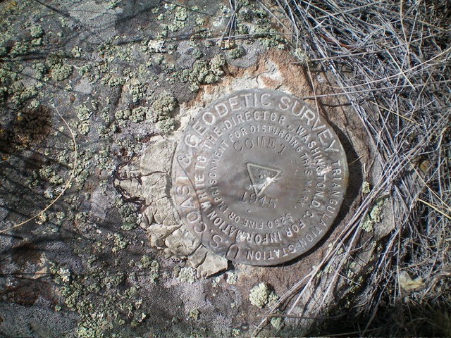
The USGS benchmark atop Comet Benchmark. Livingston Douglas Photo
Additional Resources
Regions: Beaverhead Range->EASTERN IDAHO
Mountain Range: Beaverhead Range
Longitude: -113.9149 Latitude: 45.3391