Elevation: 7,726 ft
Prominence: 426
This peak is not in the book. Published December 2020
Commissary Ridge is one of many named ridges in this area of the Caribou Range. It is one of the bigger ridges in the area and has a jeep/ATV road (FSR-017) leading to the ridge crest about a mile northwest of the summit. You must hike an old 2-track road for the final mile. To make it a more meaningful endeavor, combine this hike with a climb of Lone Pine Ridge (7,336 feet) and Peak 7466 which you pass on the way to Commissary Ridge. USGS Commissary Ridge
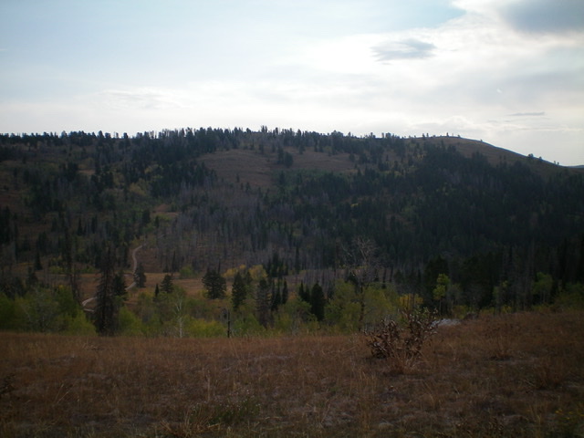
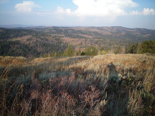
Commissary Ridge as viewed from Lone Pine Ridge to its southwest. The summit is at the far right. Livingston Douglas Photo
Map Errors
The Caribou-Targhee National Forest map fails to show the old 2-track jeep road that heads southeast along Commissary Ridge from an unsigned junction with FSR-017 all the way to the high point of Commissary Ridge. The USGS topo map has several errors. First, it shows FSR-017 heading southeast and almost reaching the summit of Commissary Ridge. In actuality, FSR-017 goes left/north at a junction on Commissary Ridge and continues north and then northeast along the ridge. It does not turn into a trail as the USGS topo map shows. Second, it shows a trail heading northeast from Commissary Ridge northeast to join a “pack trail” at 7,240 feet on the northeast side of Commissary Ridge. No such trail exists. Third, it fails to show the continuation of FSR-017 as it heads north then northwest from a [signed] junction with FST-260 (an ATV trail) at a saddle on the east side of Commissary Ridge.
Access
From US-26 north of Swan Valley, ID, turn right/south at a signed junction just before a bridge crossing of the Snake River a few miles west of the junction of US-26 and ID-31 in Swan Valley. This junction is signed for Snake River Road and “Fall Creek Road 1 mile.” Drive 1.2 miles south on Snake River Road as it follows the west side of the Snake River and reaches a signed junction with Fall Creek Road/FSR-077. Turn right/west on Fall Creek Road and drive 13.8 miles west to a signed “T” junction with FSR-075/Skyline Road. Turn left/south and drive 10.8 miles southeast on Skyline Road to a signed junction with FSR-017 (left/east turn). Park at this junction (7,280 feet) or drive up the rugged jeep road as far as you wish. The road is best suited for ATVs and MCs. However, some folks drive it all the way to Commissary Ridge and beyond, but not me.
Northwest Ridge, Class 1
The Climb
Hike (or drive) east then northeast on FSR-017 for about 3.0 miles to reach an unsigned junction on Commissary Ridge at 7,500 feet. Go right/southeast here and follow a 2-track jeep road to a dispersed campsite where the drivable road ends. Follow a use trail from the campsite southeast from the dispersed campsite to quickly find the road again.
It is now an old, but very visible, 2-track road. Follow the 2-track road southeast all the way to the summit of Commissary Ridge. Well, almost. You must bushwhack through sagebrush for about 20 feet left/east of the road to reach the unofficial high point. There is no summit cairn or other marker on the summit. The terrain is open here and the 2-track continues a bit farther southeast along the ridge line.
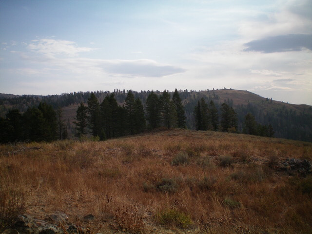
The upper section of the northwest ridge of Commissary Ridge as viewed from the summit of Lone Pine Ridge. The summit is right of center. Livingston Douglas Photo
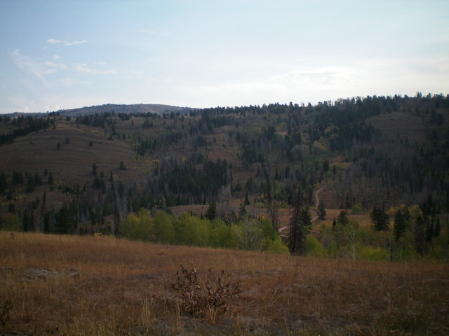
The lower section of the northwest ridge of Commissary Ridge as viewed from Lone Pine Ridge to its southwest. The summit is not in view and is well to the right. Livingston Douglas Photo
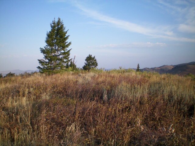
The brushy summit of Commissary Ridge. Livingston Douglas Photo
Another view of the summit area of Commissary Ridge. Livingston Douglas Photo
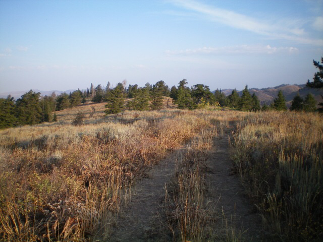
Looking northwest down the old 2-track road that leads up to the summit of Commissary Ridge. Livingston Douglas Photo
Additional Resources
Regions: Caribou Range->SOUTHERN IDAHO
Mountain Range: Caribou Range
Longitude: -111.40049 Latitude: 43.26739