Elevation: 3,475 ft
Prominence: 535
This peak is not in the book. Published November 2023
Coolin Mountain sits on a high, forested ridge just south of Coolin and Priest Lake. I discovered a climber’s trail that makes the summit an easy endeavor. Read on. USGS Coolin
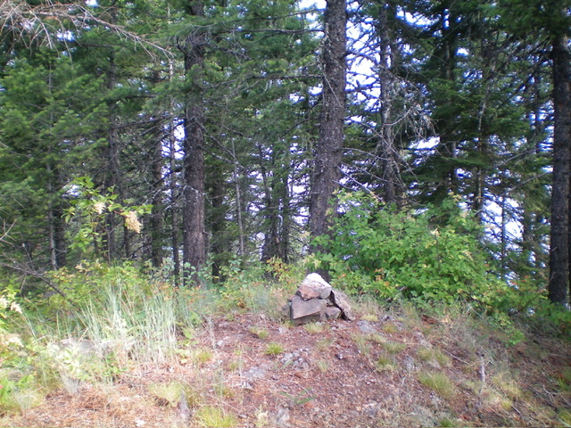
The forested summit of Coolin Mountain. Livingston Douglas Photo
Access
From ID-57 southwest of Priest Lake, turn right/east onto paved Dickensheet Road (signed for “Coolin”). Drive 4.2 miles to an unsigned road junction. Turn left onto a dirt road that heads northwest for 2.0 miles. The road bends hard left/south and goes another mile to reach a saddle and 4-way road junction. This is the connecting saddle between Peak 3580 and Coolin Mountain (3,475 feet). The saddle is at 2,950 feet and 48⁰27’48”N, 116⁰52’18”W). This climb is entirely within the confines of the Priest Lake State Forest.
West Face/Northwest Ridge, Class 1
The Climb
From the 2,950-foot connecting saddle, follow a decent 2-track road (not shown on the National Forest) southeast up the west face of Coolin Mountain. The road bends hard left/north at about 3,040 feet. The road ends at a ridge corner (and old campsite). From here, follow a continuation of the road (it is now an ATV/hiking trail but then turns back into a road) right/east and skirts the north face of Coolin Mountain then bends hard right/south near Point 3297.
Continue south on the road until it begins to descend. Leave the road after it has dropped 5 vertical feet and find a use trail that heads right/southwest from the road up onto the nearby, thickly-forested northwest ridge. Hike up the decent use trail as it follows the crest of the forested northwest ridge to the semi-open summit. The summit had a torn-down cairn so I rebuilt it on the high point. The ridge trail offers some amazing views of nearby Priest Lake.
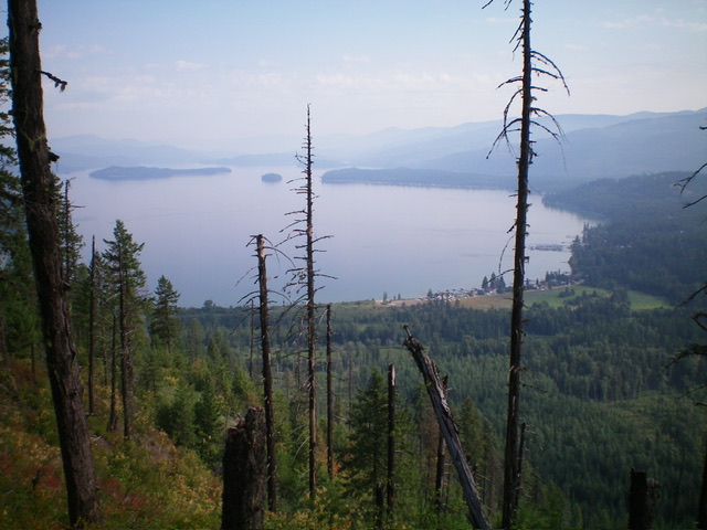
View of Priest Lake from high on the northwest ridge of Coolin Mountain. Livingston Douglas Photo
Additional Resources
Regions: NORTHERN IDAHO->Selkirk Mountains
Mountain Range: Selkirk Mountains
Longitude: -116.8611 Latitude: 48.4603