Elevation: 5,052 ft
Prominence: 42
This peak is not in the book. Published November 2021
Corral Butte is located at the east end of Laidlaw Park in the Craters of the Moon National Monument. It is a minor hump with no cairn on top. You’ll find more cows here than tourists. USGS Bear Den Butte
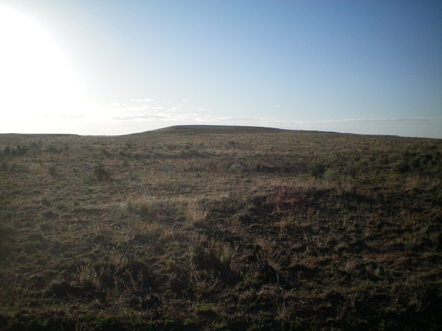
Corral Butte (dead center) as viewed from the west. Livingston Douglas Photo
Access
From US-20 east of Carey, turn right/south onto [signed] North Laidlaw Road. This junction is 0.2 miles west of Fish Creek Road, which is well-signed. Drive south on North Laidlaw Road for 1.2 miles to an unsigned “T” junction. This is Laidlaw Park Road. It can also be approached directly from farther west on US-20 and the road quality should be fine. Turn left/southeast onto Laidlaw Park Road and drive 13.5 miles to reach a signed 4-way junction (5,078 feet on the USGS map). Go left here for Ant Butte and go right here for Corral Butte (Dean Brown Road). Turn right/south and drive 1.9 miles to the southwest side of Corral Butte. Park along the road (4,990 feet).
Southwest Face, Class 2
The Climb
From Dean Brown Road, hike northeast up through easy scrub to reach the flat, bare, open summit of Corral Butte. There was no summit cairn on top.
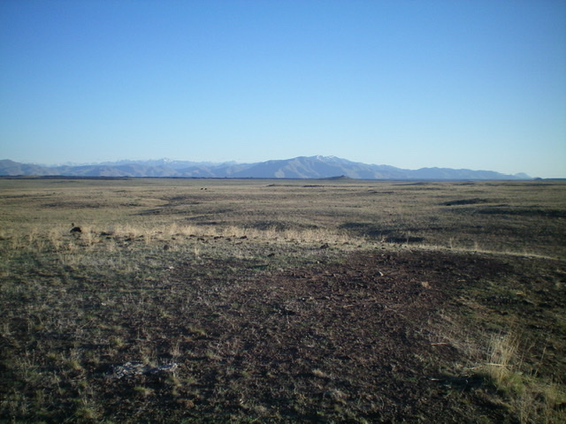
Looking northwest across Laidlaw Park from the summit of Corral Butte. Livingston Douglas Photo
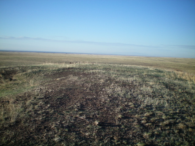
The flat summit area of Corral Butte. Livingston Douglas Photo
Additional Resources