Elevation: 9,349 ft
Prominence: 2,369
Climbing and access information for this peak is on Page 119 of the book. Updated November 2025
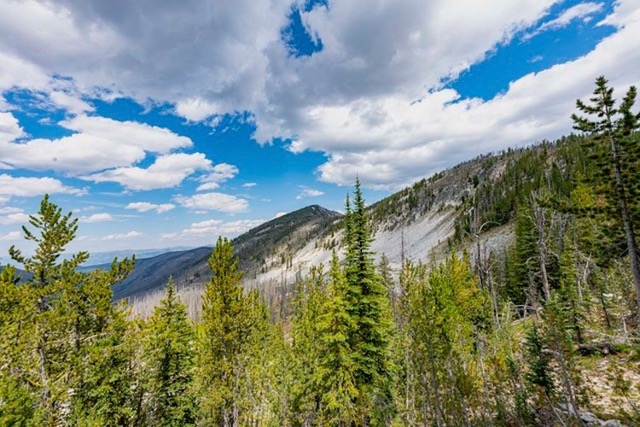
Cottonwood Butte is located deep within the Frank Church River of No Return Wilderness, west of the Middle Fork Salmon River and east of Cold Meadows. Accessing the peak on foot requires multiple days of hard backpacking. The closest access is the backcountry airstrip at Cold Meadows. USGS Cottonwood Butte
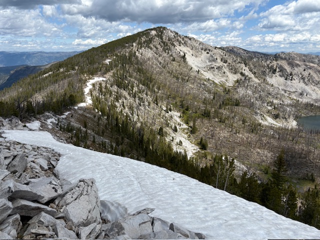
The summit of Cottonwood Butte from the unranked bump to the south. Daniel Coulter Photo
Access and Route
Use the links below for Mark Adrian and Daniel Coulter’s trip reports for up to date information on accessing this remote summit.
Bing Young discussed the peak’s history as a fire lookout:
Cottonwood Butte, at 9,349 feet, is one of the highest peaks on which a lookout was ever placed in the Salmon National Forest. Just when it came into being is not certain (it was then on the Payette National Forest) but it is known that Cottonwood Butte was an early 1920s lookout. Although the 1935 map still calls Cottonwood Butte a lookout station, it is doubtful that it existed much longer. Butts Point and Stoddard lookouts replaced Cottonwood Butte—at least in the Salmon National Forest. Both had better views of high fire hazard country and were more accessible, and were closer to water. Very little, if anything, remains on Cottonwood Butte, which is the head of 3 major drainages: Cottonwood Creek, Kitchen Creek and Papoose Creek. Located well within the River of No Return Wilderness Area on the Payette National Forest border, Cottonwood Butte is accessible only to those packing in from the Salmon River Lodge, or those landing at the Cold Meadows airstrip for a trip over the Cottonwood Trail. —Salmon National Forest Fire Lookouts by Bing Young 1982, Page 22.
Cottonwood Butte. Dave Beck Photo
Additional Resources
Regions: Central Salmon River Mountains->Chamberlain Basin Peaks->Salmon River Mountains->WESTERN IDAHO
Mountain Range: Central Salmon River Mountains
Longitude: -114.79339 Latitude: 45.28849