Elevation: 9,147 ft
Prominence: 1,287

This peak is not in the book. Revised and updated November 2023
This peak is located due north of Buttercup Mountain in the southern Smoky Mountains. USGS Buttercup Mountain
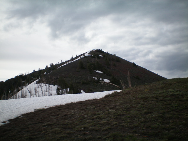
The pyramidal summit hump of Cup Benchmark as viewed from high on the northwest ridge (my ascent route). Livingston Douglas Photo
Access
Same as for Peak 8634. This is the second leg of a 2-peak adventure that includes Peak 8634 and Cup Benchmark (9,147 feet). It covers 10.0 miles with 3,500 feet of elevation gain round trip.
Northwest Ridge, Class 2
The Climb
The 8,340-foot connecting saddle with Peak 8634 has a junction of two ATV trails. Follow FST-223 east then south as it heads directly at Cup Benchmark. The ATV trail skirts the right/west side of the ridge crest but works its way up onto the ridge crest and a large, flat parking area (the second of two parking areas that you will encounter on FST-223) that is northwest of the summit hump of Cup Benchmark. The trail continues south and stays well below the summit of Cup Benchmark.
Leave the trail at the parking area and scramble southeast up the ridge to the summit of Cup Benchmark. The ridge terrain is a mix of scattered pines, sagebrush, and steep/loose gravel and scree. The summit of Cup Benchmark has two USGS benchmarks and some triangulation boards laying on the ground. There is no summit cairn.
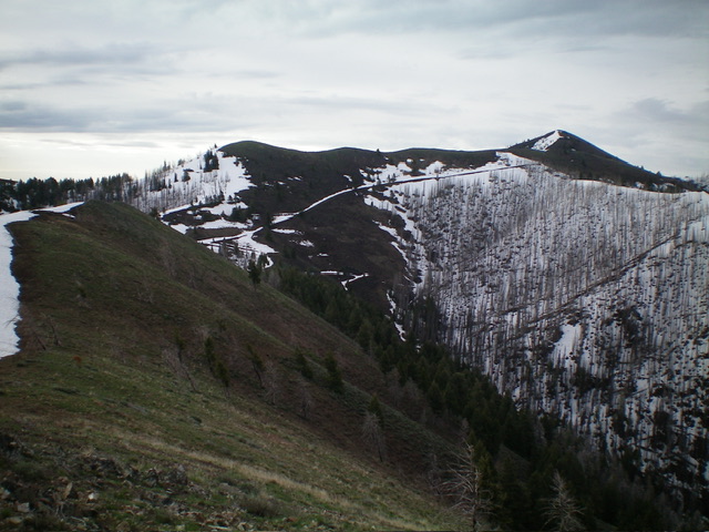
The ridge traverse from Peak 8634 to Cup Benchmark (it starts at far left). The summit of Cup Benchmark is the pyramidal hump right of center.
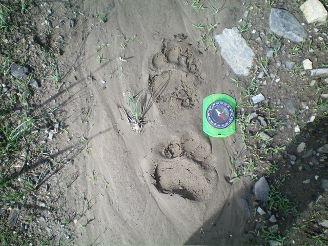
Fresh mountain lion tracks on the Willow Creek ATV trail. This is a big cat. Livingston Douglas Photo
Descent back to the Willow Creek Trailhead, Class 2
From the summit, descend back down the northwest ridge to FST-223. Follow FST-223 north then west back to the signed ATV junction on the small saddle at 8,340 feet. Follow FST-223 left/south then west down through a miserably thick drainage (pine forest with lots of blowdown) and discover that FST-223 is in awful shape. It has so much deadfall on it that it is easier, in certain areas, to simply bushwhack directly down through the forest to avoid the needless switchbacks.
To make matters worse, FST-223 is quite steep and rocky down through this gully, even if eventually cleared of tree debris. Once back at the Willow Creek ATV trail, follow it for 3+ miles back to the trailhead. As an aside, I found fresh mountain lion tracks on the Willow Creek ATV trail with a fresh deer kill not too far away. Be prepared for mountain lion activity on this part of the adventure.
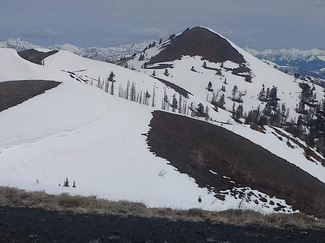
Cup Benchmark as viewed from the south. Brett Sergenian Photo
Additional Resources
Regions: Smoky Mountains->WESTERN IDAHO
Mountain Range: Smoky Mountains
Longitude: -114.58519 Latitude: 43.54989