Elevation: 8,565 ft
Prominence: 545
This peak is not in the book. Published July 2019
The highest point on Deep Creek Ridge is located southwest of Williams Creek Summit. This peak is almost completely tree-covered. What makes it interesting is that its slopes are crisscrossed by cross-country ski trails that can be reached from Williams Creek Summit even in the dead of Winter. USGS Lake Mountain
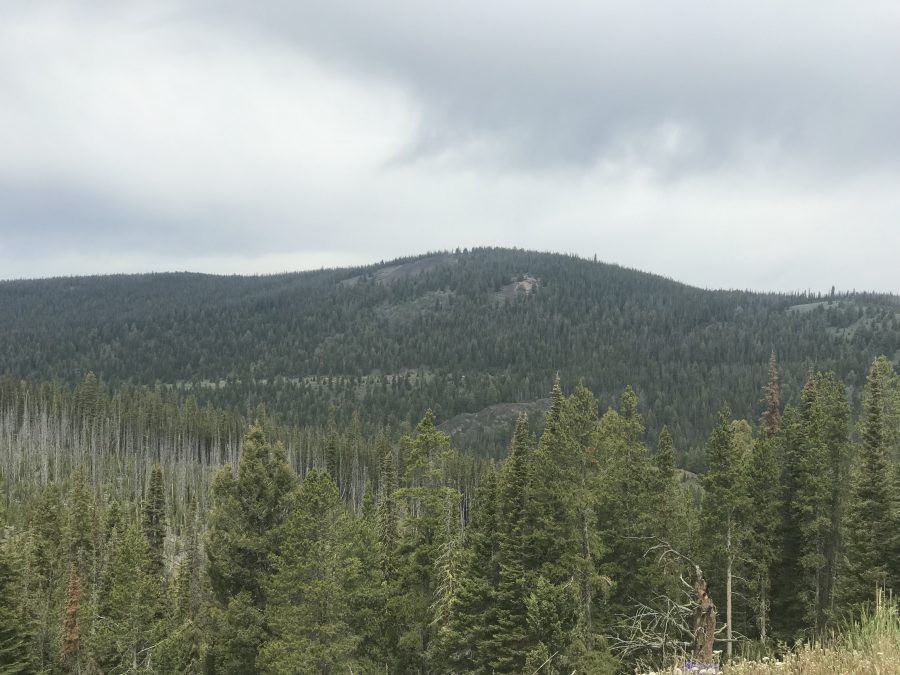
Deep Creek Ridge as viewed from Lake Mountain.
Access
See [(H)(1) and (2) on Page 142] updated here. Drive south from Salmon and the junction of US-93/ID-28 on US-93 for 4.9 miles. Turn west, cross the Salmon River and follow FS-021 for 13.0 steep miles to Williams Creek Summit. This road is paved at first and then is a well-maintained gravel road that is plowed in Winter. From Williams Creek Summit, turn south onto the Salmon River Mountain Ridge Road/FS-020. Follow FS-20 for less than a mile to a saddle at 8,141 feet where the road forks. Park here.
East Ridge, Class 1+
A signed cross-country ski trail begins by the fork in the road. We followed the trail (and occasional blue diamond markers) west until the route became less clear. After proceeding a short distance, we once again found the trail and then quickly encountered a signed junction. Take the left fork which traverses south and then climbs steeply up the ridge. We eventually left the trail and walked through the forest to the high point. The route was 2.0 miles round trip with 420 feet of elevation gain.
This link will take you to the Forest Service’s inadequate page for this X-C trail: Deep Creek Ridge Trail 6320. We saw evidence of recent trail maintenance. I suspect there is additional written information covering this trail system but I have yet to find it.
Additional Resources
Mountain Range: Eastern Salmon River Mountains
Year Climbed: 2019
Longitude: -114.10739 Latitude: 45.08629