Elevation: 7,762 ft
Prominence: 782
This peak is not in the book. Published May 2020
Dog Mountain is located southeast of Trinity Mountain at the south end of the Trinity Mountains crest. I had a clear visual of Dog Mountain from Granite Mountain the previous weekend and determined that it was a prominent summit that would have great views. Additionally, it was mostly snow-free in early May! USGS Featherville
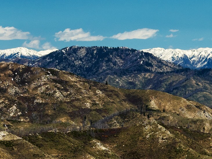
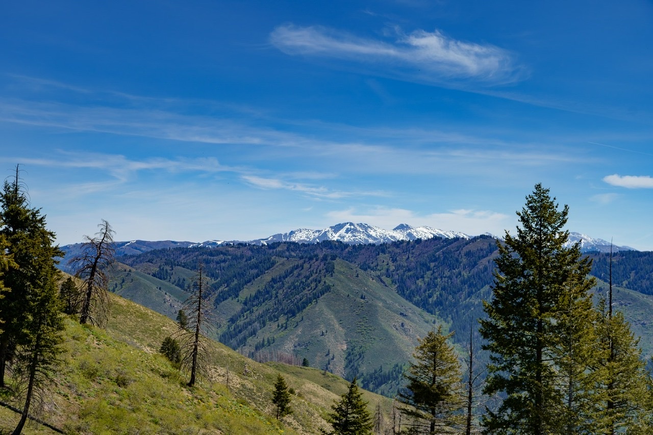
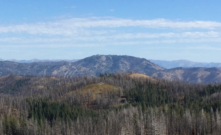
Dog Mountain as viewed from Granite Mountain. Anna Gorin Photo
Access
Access starts in Pine, Idaho. Google Maps provides good directions to Pine. Take FS-128/Lester Creek Road south from Pine. This road runs south along the reservoir and eventually turns west, climbing up Sloan Canyon. FS-128 then turns north running past the Lester Creek Guard Station. Stay on FS-128 until you reach Camp Creek. The turnoff for the Camp Creek Trailhead is signed. Although some maps identify the spur road (FS-128BA) as a jeep road, I had no problems driving it slowly to the trailhead in a passenger car.
Southwest Ridge, Class 2+ (with Class 3 summit block)
FST-177 is in great condition and is half shaded, much to our delight on a hot day. While the official trail map shows it going west of Camp Creek up to the 6,520-foot saddle, the trail has been rerouted to switchback up to the east. At the saddle, the trail descends about 100 feet and deteriorates briefly with quite a bit of downfall to pick through. At about 3.75 miles from the trailhead, the trail starts to veer sharply west. Leave the trail at this point and bushwhack northeast up the peak’s southwest ridge to Point 7706 and finally northwest to the Dog Mountain summit.
As you reach the crest, the long summit ridge begins near a small shed with solar panels. The ridge itself extends NW for a ways, with fairly large north-facing drifts and a few talus blocks to high point. The 7,762-foot summit is a rocky outcrop at the far Northwest end of the ridge.
On the way down, we found it a little easier to sidehill west around Point 7706 on a faint game trail and from there avoided the worst of the brush by making our way more south than southwest to return to the trail and follow the same route back to the trailhead. Round-trip stats: a little less than 10 miles with 3,000 feet of elevation gain. A very enjoyable day!
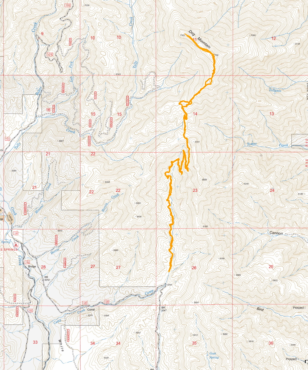
My GPS track. FS-128BA is not shown on this map.
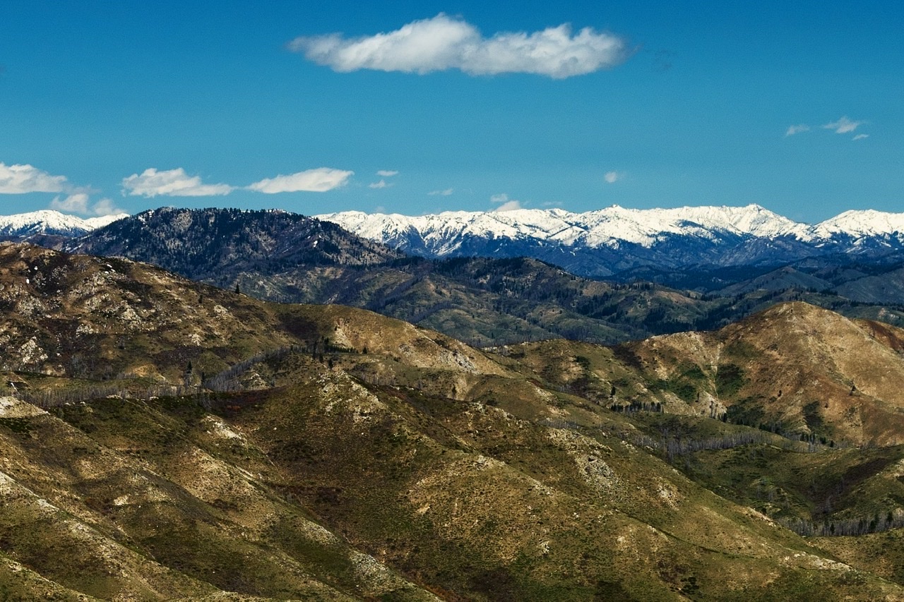
Dog Mountain (on the left) as viewed from Granite Mountain. Anna Gorin Photo
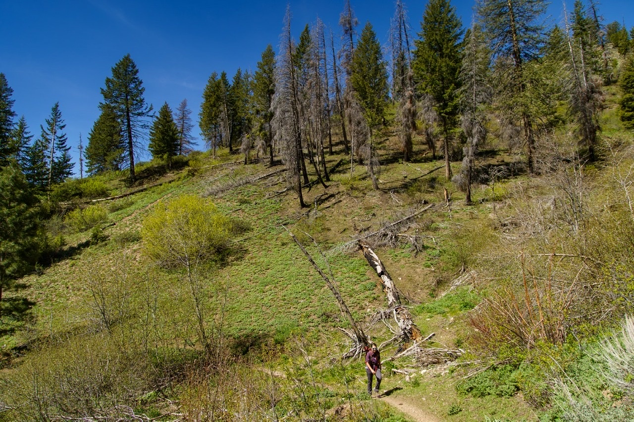
FST-177 on the climb up. Anna Gorin Photo
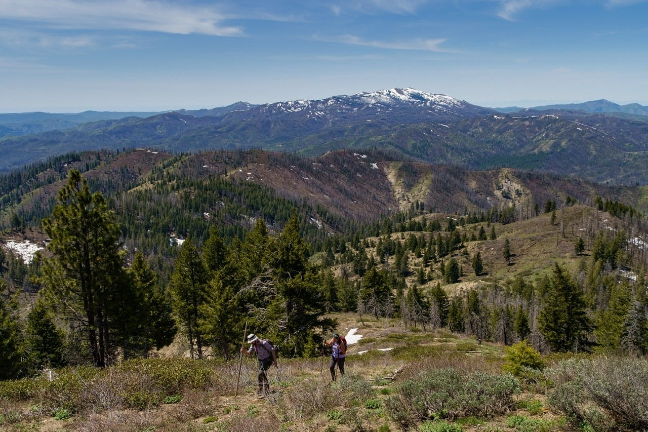
Views of the Soldiers appear around 3.5 miles. Anna Gorin Photo
Bushwhacking up the southwest ridge with Granite and House Mountain visible in the distance. Anna Gorin Photo
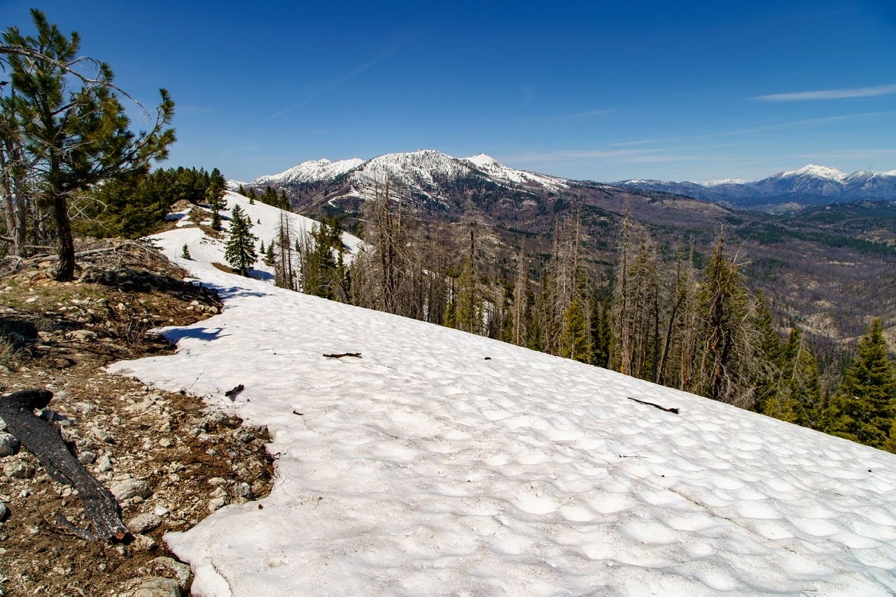
Large snowdrifts on the north face on an otherwise snow-free hike. Anna Gorin Photo
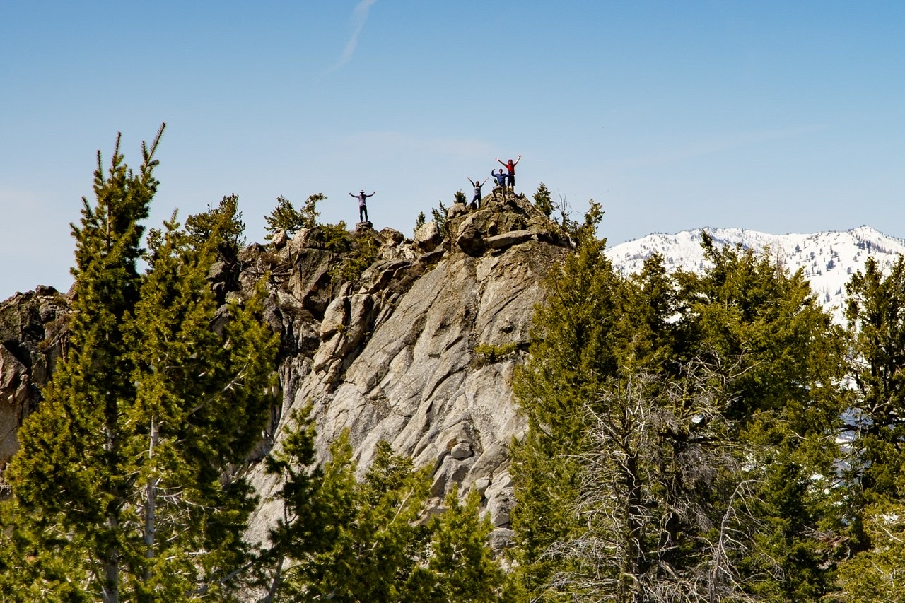
The true summit has a short Class 3 section. Anna Gorin Photo
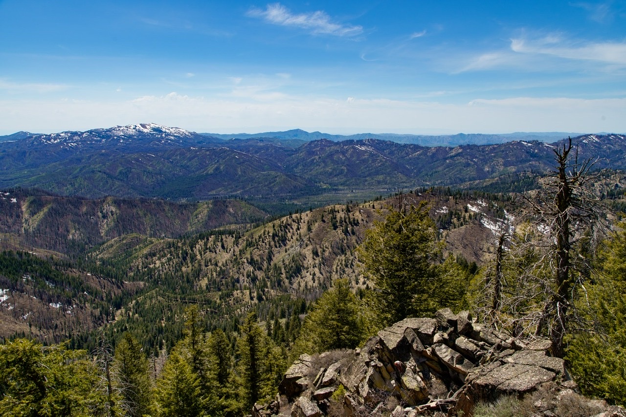
House Mountain and distant Danskin peaks west. Anna Gorin Photo
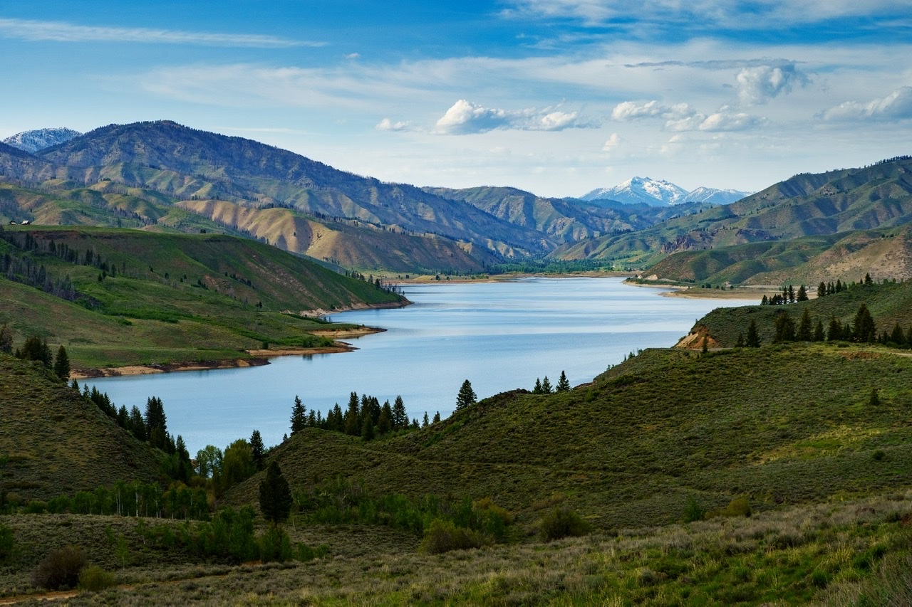
Forested Dog Mountain (left) and snowy Steel Mountain (right) above Anderson Ranch Reservoir. Anna Gorin Photo
Dog Mountain from House Mountain.
Additional Resources
Regions: Boise Mountains->Trinity Mountains->WESTERN IDAHO
Mountain Range: Boise Mountains
Longitude: -115.35309 Latitude: 43.52269