Elevation: 9,301 ft
Prominence: 481
Climbing and access information for this peak is on Page 212 of the book. Published May 2020
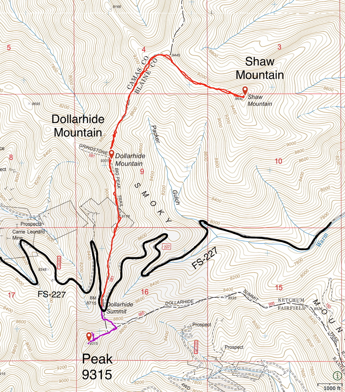
Dollarhide Mountain is located due north of Dollarhide Summit. The peak’s half-mile long summit ridge trends from south to north. USGS Dollarhide Mountain
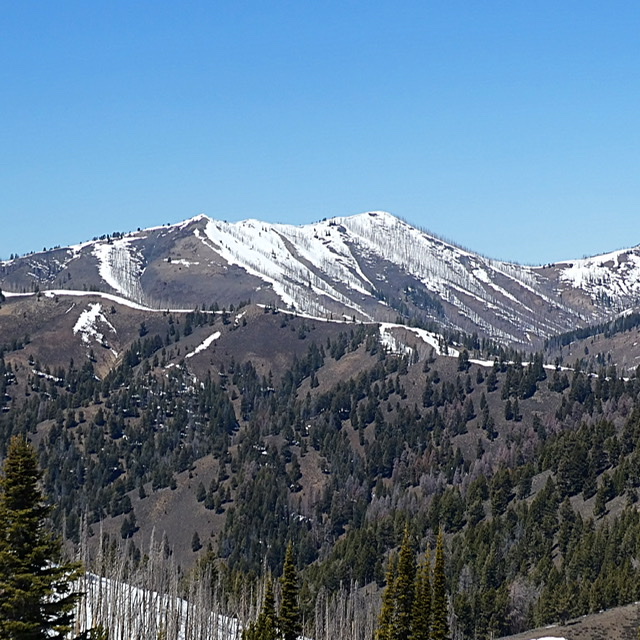
Dollarhide Mountain as viewed from Peak 8595 (Trouble Peak)
Access
FS-227/Warm Springs Creek Road [(A)(7) on Page 214]. Google Maps gives directions to the summit from Ketchum and Fairfield, Idaho. There is parking on the north side of the pass.
South Ridge, Class 1+
FST-081 (Grindstone/Big Peak Trail) starts on Dollarhide Summit and allegedly leads to the summit of Dollarhide Mountain. There are no signs marking this trail. The first 0.3 miles is an ATV trail. The trail then continues toward the summit. The closer you get to the summit, the less obvious the tread. The ridge is open and route finding is not a problem. After crossing a couple of false summits and losing the trail a time or two, you reach the summit. It is 1.2 miles with 600 feet of elevation gain to the pass from the summit. Shaw Mountain can be climbed from this point.
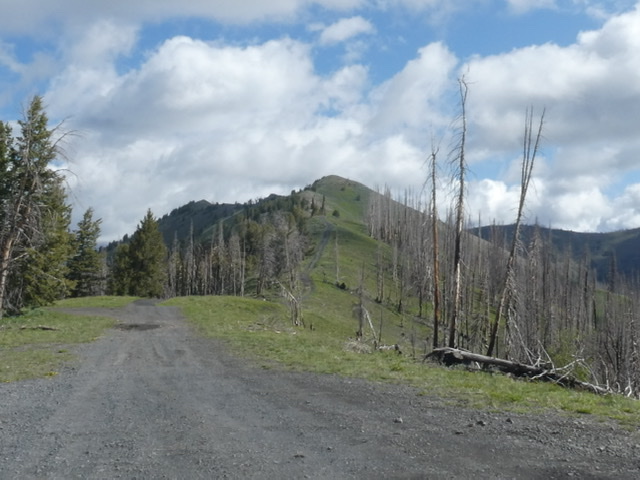
Looking toward Dollar Mountain from Dollarhide Summit.
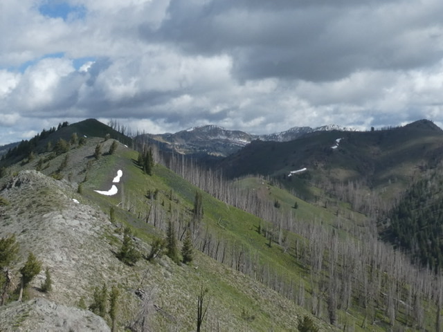
The summit ridge of Dollarhide Mountain.
Additional Resources
Regions: Smoky Mountains->WESTERN IDAHO
Mountain Range: Smoky Mountains
Year Climbed: 2020
Longitude: -114.68169 Latitude: 43.60909