Elevation: 7,500 ft
Prominence: 120
This formation is not found in the book. Published May 2019
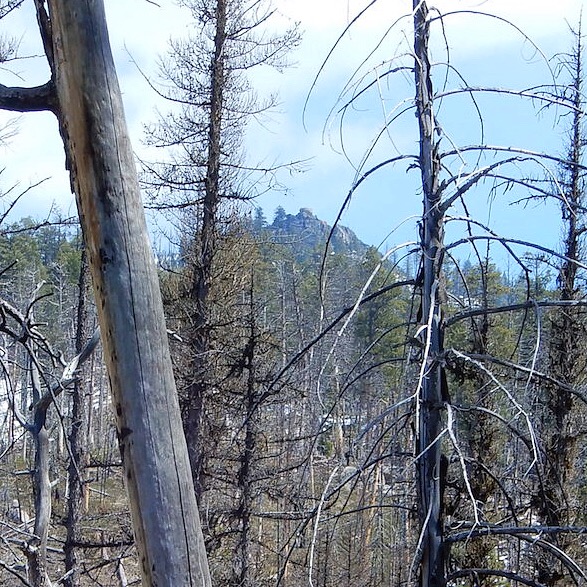
Eagle Rock is a granitic formation located west of Caton Lake on the massive Log Mountain divide. The rock is a former fire lookout site. USGS Teapot Mountain
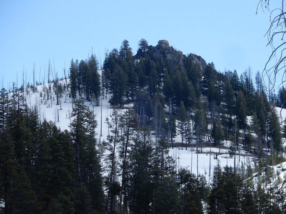
Eagle Rock. John Platt Photo
Access
Follow South Fork Salmon River Road South to the Camp Creek trailhead [(C)(1.1) on Page 139]. FST-290 leaves the trailhead and climbs up to the base of Eagle Rock in 4.6 miles. This trail is not discussed in the book and only sees occasional maintenance.
Route, Class 5
The summit cannot be reached via a scramble and the old access to the fire lookout site has deteriorated to the point where it is unusable. Thus, the top is only reachable via a technical climb. See John Platt’s trip report for the details and additional photos.
Additional Resources
Regions: Central Salmon River Mountains->Log Mountain - Deadwood Divide Peaks->Salmon River Mountains->WESTERN IDAHO
Mountain Range: Central Salmon River Mountains
Longitude: -115.64079 Latitude: 44.87939