Elevation: 7,300 ft
Prominence: 240
This peak is not in the book. Published December 2020
East Farnes Mountain is the lower of two summits atop Farnes Mountain in the Big Hole Mountains northeast of Idaho Falls. It sits at the headwaters of both Browning Creek and North Moody Creek. It is a rather unpleasant bushwhack from any direction. Wear long pants and leather gloves. USGS Temple Peak
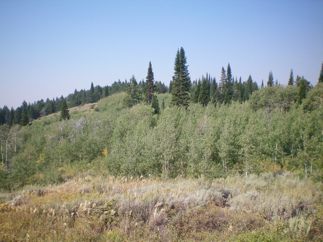
View of the forested summit of East Farnes Mountain from the [open] northeast end of the summit ridge. How do I get through those thick aspens? Livingston Douglas Photo
Access
From the Caribou-Targhee National Forest office on US-26 at the north end of Idaho Falls, drive 13.6 miles east on US-26 to a signed junction for the Kelly Canyon ski area. Turn left/north onto a paved road. Reset your odometer here. At 1.9 miles, go right at an unsigned junction. At 3.1 miles, cross the Snake River on a bridge then immediately reach a “T” junction. Go right/east here onto [signed] Heise Road.
At 5.4 miles, go left at a signed fork in the road. At 7.9 miles, enter the Caribou-Targhee National Forest. You are now on FSR-218. At 8.9 miles, reach a [signed] junction with FSR-217 (the “Y” junction). Go straight here to stay on FSR-218. At 19.4 miles, reach a [signed] junction with FSR-651 (right). Park at this road junction (7,010 feet).
Northeast Ridge, Class 2
The Climb
From the road junction, bushwhack northwest up through a thick aspen forest to reach waist-high veg/brush in open terrain. Bash your way northwest up the steep-ish face to the open east end of the northeast ridge. Bushwhack southwest along the wide, ill-defined ridge through thick brush and a wicked patch of aspens to reach an easier section of pine forest with relatively-thick underbrush. The summit area is a mix of open brush and pine forest. There is no obvious high point but it was all downhill from where I stood, albeit gradual downhill. There is no summit cairn and no rocks with which to build one.
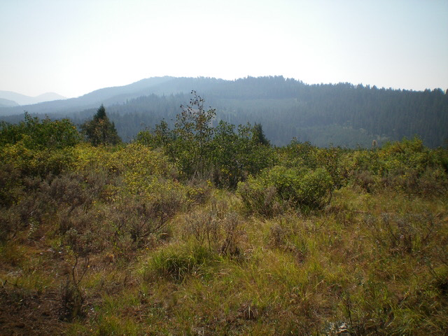
The open summit area of East Farnes Mountain with Argument Ridge in the background. Livingston Douglas Photo
Southeast Face, Class 2
The Descent
From the summit, descend southeast straight down to FSR-218. The terrain is initially thick, wicked brush/veg then some aspens and finally an easier patch of pine forest to reach the [blessed] road. Walk left/northeast up FSR-218 for 4-5 minutes to return to the road junction and your parked vehicle.
Additional Resources
Mountain Range: Big Hole and Snake River Mountains
Longitude: -111.47529 Latitude: 43.67609