Elevation: 7,871 ft
Prominence: 731
This peak is not in the book.
Eightmile Mountain is located northwest of the South Fork Payette River, West Spring Creek, and Warm Springs Campground. It is a moderate hike at 4.5 miles (one way) and 3500+ feet of elevation gain. The trailhead is on the East Side of the Warm Spring landing strip, just off ID-21.
To get to the trailhead, turn onto FS-025 19 miles east of Lowman or 40 miles east of Stanley. The trail can also be accessed from Warm Springs Campground (which has Bonneville Hot Springs approximately 0.25 mile upstream from it). The trail is well maintained and you gain elevation quickly over the first couple of miles.
After following switchbacks up to Point 6868, you get the first good view of Eightmile Mountain. From this point, descend the ridge (losing about 350 feet in elevation) before climbing the last 1.5 miles up to the summit. The views of the Salmon River, Boise Mountains and Sawtooth Range are superb. It’s a fun early Summer hike with lots of wildflowers and wildlife! Class 2. USGS Eightmile Mountain
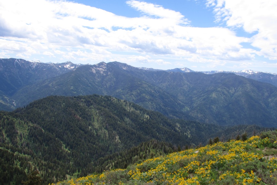
Collin Ciarlo Photo
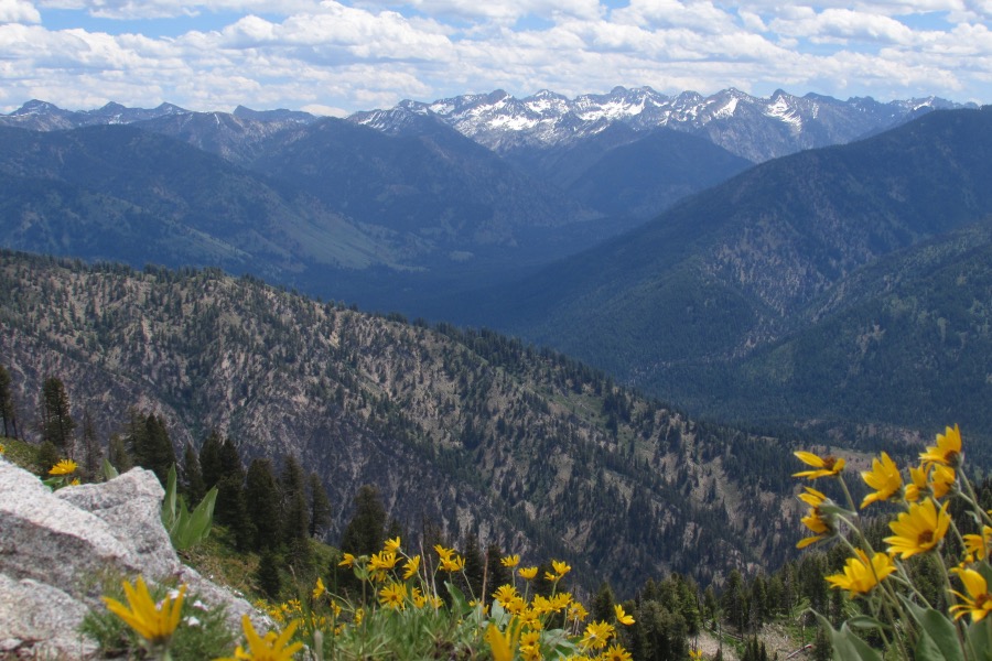
Looking toward the Sawtooth Range. Collin Ciarlo Photo
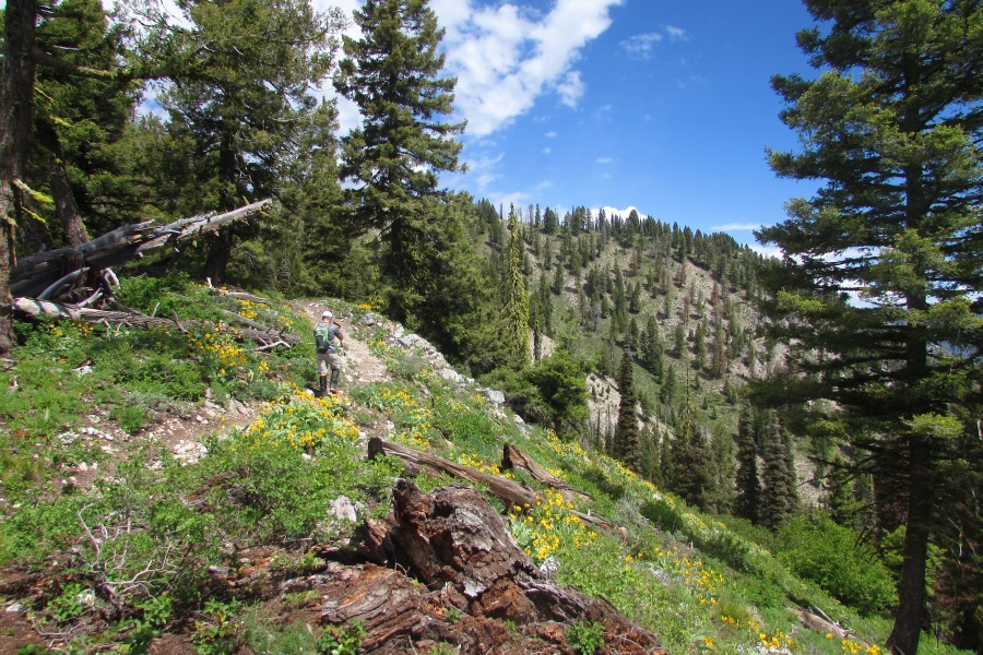
The trail climbs steadily. Collin Ciarlo Photo
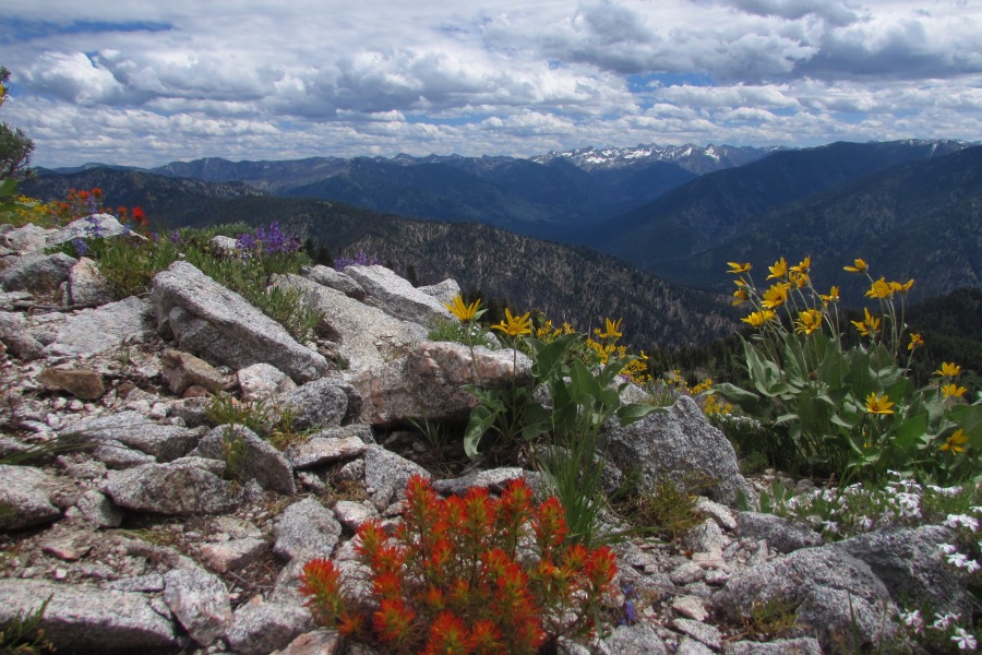
The summit of Eightmile Mountain. Collin Ciarlo Photo
Additional Resources
Regions: Central Salmon River Mountains->Johnson Creek - Middle Fork Divide Peaks->Salmon River Mountains->WESTERN IDAHO
Mountain Range: Eastern Salmon River Mountains
Longitude: -115.35439 Latitude: 44.16719