Elevation: 8,046 ft
Prominence: 2,342
This peak is not in the book. Livingston Douglas provided four additional photos. Updated January 2023
The highest point in the Malta Range is not clearly identified on the USGS quadrangle. It is located just south of the Elba Benchmark. Consequently, the name Elba Peak is the best name for this mountain. However, the LOJ and peakbagger websites simply as the Jim Sage Mountains HP. The actual summit is located just south of the Elba Benchmark. In 2020 there was a register on the true summit. USGS Kane Canyon
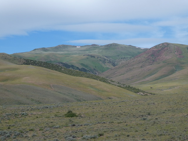
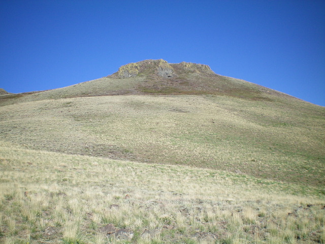
Elba Peak as viewed from the east
Access
From Malta, Idaho, drive south on Highway 81 for 6.0 miles. Turn west onto the signed 2160 S. Kane Springs Road. The road is a good county maintained gravel road until it turns northwest toward a ranch. Turn left on the two track that leaves the main road at this turn. The two track is good at first but soon deteriorates. Keep your eyes open, there is a major washout that is somewhat hidden. If you are driving too fast you could end up driving into it.
This washout can be bypassed with some difficulty on the left. When the road nears Kane Canyon it becomes narrow and overgrown. There are no places to turn around until the road reaches its end at thd 6,640 foot contours. A 4WD is required. The washout is likely to get worse and may soon be impassable. Additionally, I would advise against using this route after the grass dries out. It would be nearly impossible to escape a range fire if you were on the upper portion of this road when a fire started.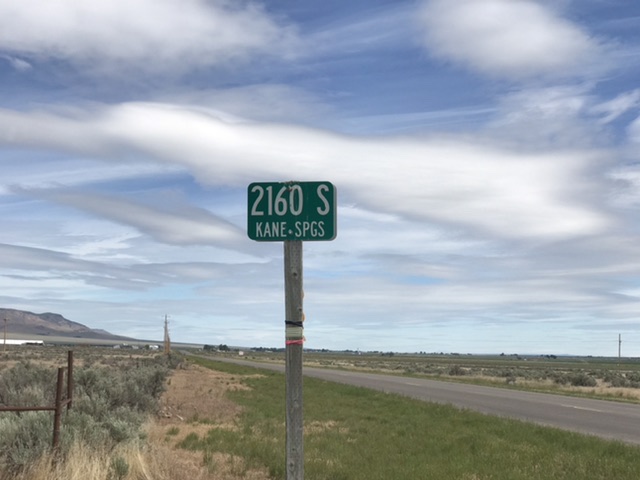
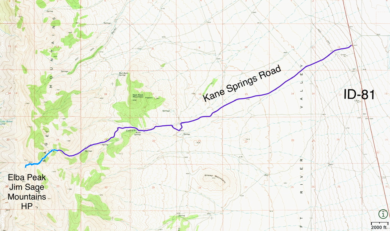
The driving route from ID-81 is shown in purple. It is 7.4 mikes with 1,930 feet of elevation gain from ID=81 to the roads end. The hiking route is shown in blue. The ascent covered 1.8 miles with 1,200 feet of elevation gain round trip.
East Rib, Class 2
From your parking spot, continue up Kane Creek and cross the creek following an overgrown path. The canyon soon splits. Take the left fork and climb up the rib as shown on the map above. This rib is steep but has no obstacles. Follow the rib to the face below the point containing the Elba Benchmark. Contour left and then climb up to the summit ridge. The high point is south of the USGS Benchmark.
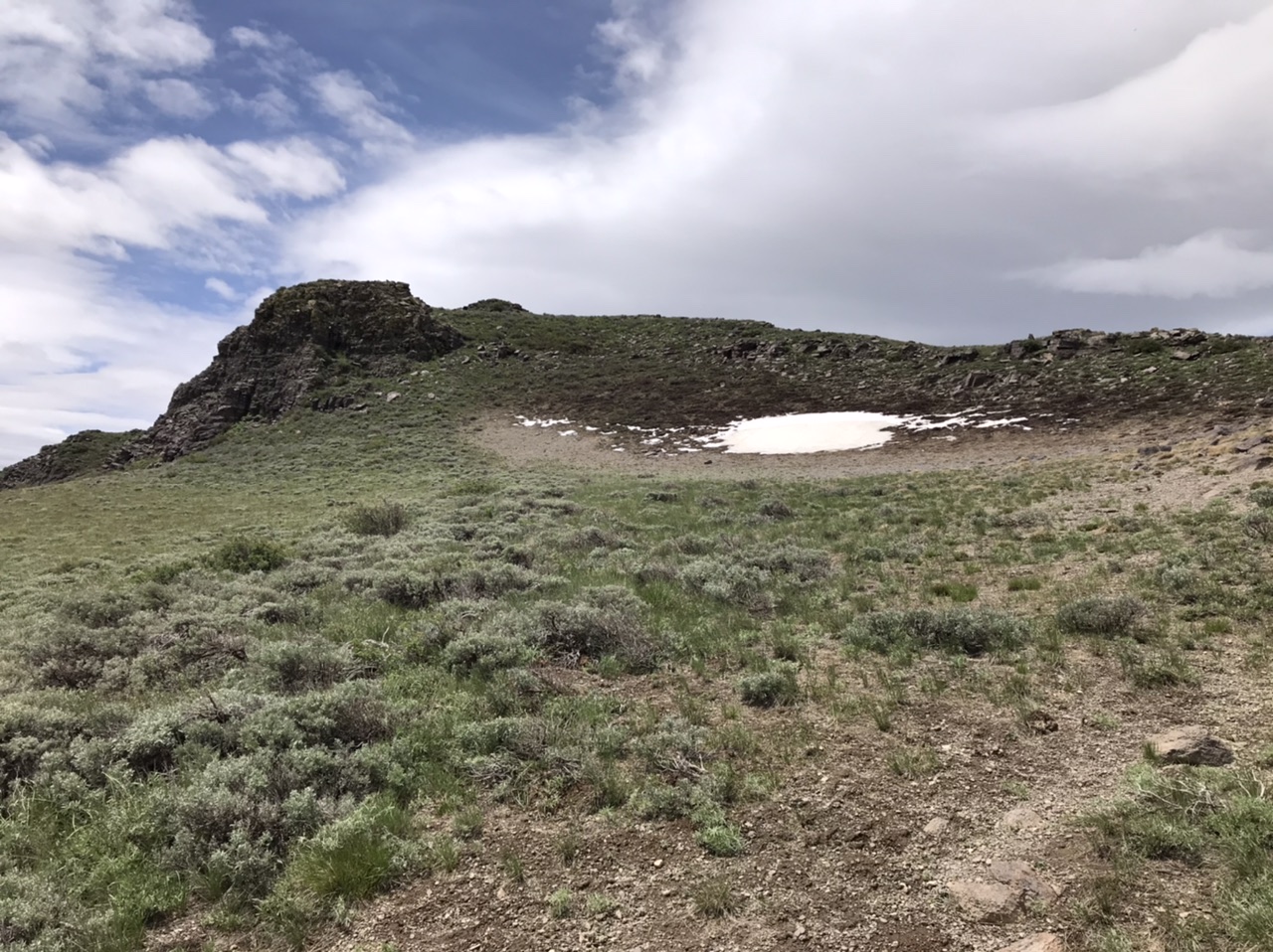
The rib melds into the peak’s east face. The easiest line climbs up just east of the Snowbank.
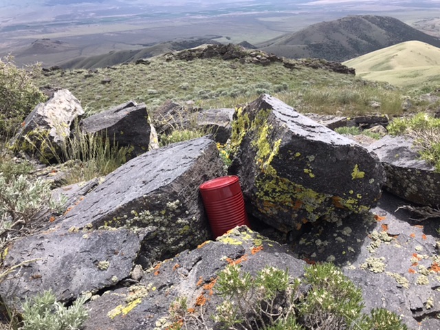
Richard Carey’s register on the summit
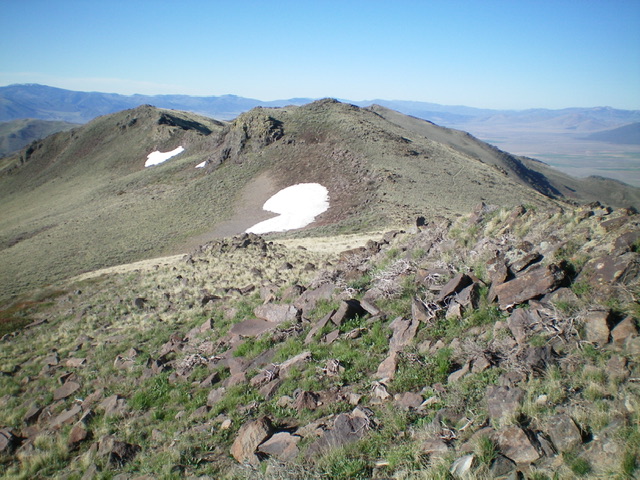
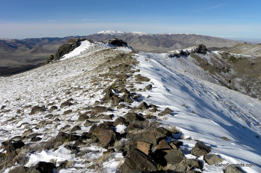
Jim Sage Mountains HP (dead center) as viewed from Elba BM. Livingston Douglas Photo
The rocky buttress high on the east ridge of Elba Peak. Skirt its left side to reach both Elba BM and the nearby Jim Sage Mountains HP.
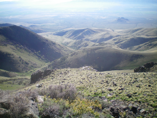
Looking east down Kane Canyon from the summit. Livingston Douglas Photo
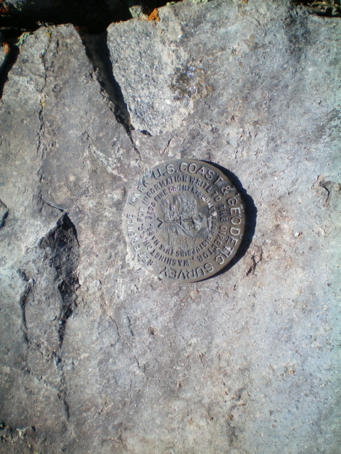
The USGS benchmark atop Elba BM. Livingston Douglas Photo
Additional Resources
Regions: Albion Range->Jim Sage Mountains->SOUTHERN IDAHO
Mountain Range: Albion Range
Longitude: -113.49449 Latitude: 42.18409