Elevation: 6,372 ft
Prominence: 137
This peak is not in the book. Published December 2020
Elk Butte is a forested, multi-humped mess located on the east side of ID-47 southeast of Island Park. It is not like the typical, open desert butte that you’re used to. Surprisingly, it is a navigational challenge to find the top of this one. The west summit is the high point. Contrary to the USGS map, the summit and south side of Elk Butte is NOT open terrain. It is thickly forested with lots of brush. USGS Snake River Butte
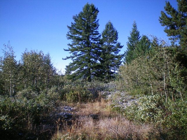
The summit area atop Elk Butte. Livingston Douglas Photo
Access
From the junction of ID-47 and [signed] South Hatchery Road/FSR-286, drive 0.1 miles up FSR-286 and park in a pullout alongside the road (6,140 feet).
West Face, Class 2
The Climb
From the parking pullout, hike east up FSR-286 for 0.3 miles to reach an unsigned road junction (6,155 feet). Go left/north here and hike up a jeep road for about 0.3 miles to reach an unsigned junction with an old 2-track road heading right/east (6,240 feet). When the 2-track road ends, follow a cattle trail into the thicker forest and bash your way eastward up to the small summit area. There is no obvious benchmark on any of the ground boulders in the summit area but this area is so thick with brush that it could be hiding in here somewhere.
West Face Variation, Class 2
The Descent
From the summit area, bash your way northwest then descend a dry gully southwest to intersect a 2-track jeep road. Go right/northwest on this road and quickly reach an unsigned road junction. Go left/west onto FSR-286 and follow it for 0.3 miles to return to your parked vehicle. The bushwhacking on this descent is pure misery. Sorry about that, but that is all that this peak offers.
Additional Resources
Regions: Centennial Range->EASTERN IDAHO
Mountain Range: Centennial Range
Longitude: -111.36359 Latitude: 44.23659