Elevation: 5,624 ft
Prominence: 174
This peak is not in the book. Published November 2022
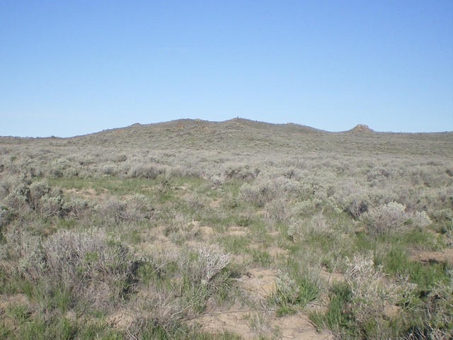
Fingers Butte is a rather insignificant hump that is located just west of the Arco-Minidoka Road about 15 miles south of Arco, Idaho. It is most easily climbed via its east face, entirely on BLM land. USGS Fingers Butte
Fingers Butte as viewed from the east. Livingston Douglas Photo
Access
The Arco-Minidoka (A-M) Road begins southwest of Arco, just off US-20. From the junction of US-20 and US-93 in downtown Arco, drive west on US-20 for 1.9 miles. Turn left/south onto [signed] 3100W. This is the A-M Road. Drive 13.4 miles south then southeast on the A-M Road to a signed junction with Big Southern Butte Road at a fork in the road. Go right/west here to stay on the A-M Road. At 14.5 miles, reach a cattle guard crossing that is east-northeast of the summit. Park here (5,523 feet). GPS coordinates: 43⁰25’30”N, 113⁰13’56”W.
East Face, Class 2
The Climb
From the cattle guard, aim directly at the cairned summit and bushwhack through gapped sagebrush to reach the rocky summit of Fingers Butte. There is a 70-foot drop to a wide gully along the way. The summit has a tall cairn, a triangulation post, and triangulation wiring. Please note that the USGS topo map shows a jeep road heading south then west to the summit from the A-M Road. However, that road no longer exists.
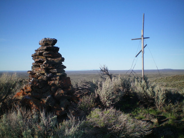
The tall summit cairn atop Fingers Butte. Livingston Douglas Photo
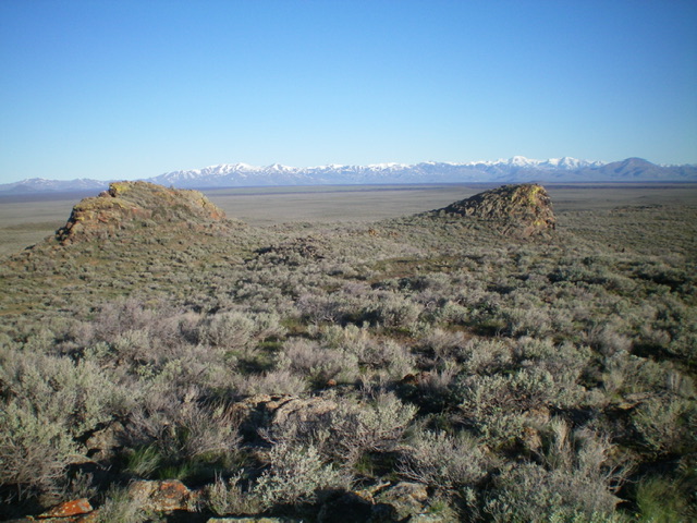
The summit area of Fingers Butte. Livingston Douglas Photo
Additional Resources