Elevation: 7,496 ft
Prominence: 176
This peak is not in the book. Updated October 2025
Fourth of July Peak is located southeast of Pine Creek Pass and is the namesake peak in this area. It sits above Rainey Creek and is most easily climbed via its northwest shoulder and FST-051. USGS Fourth of July Peak
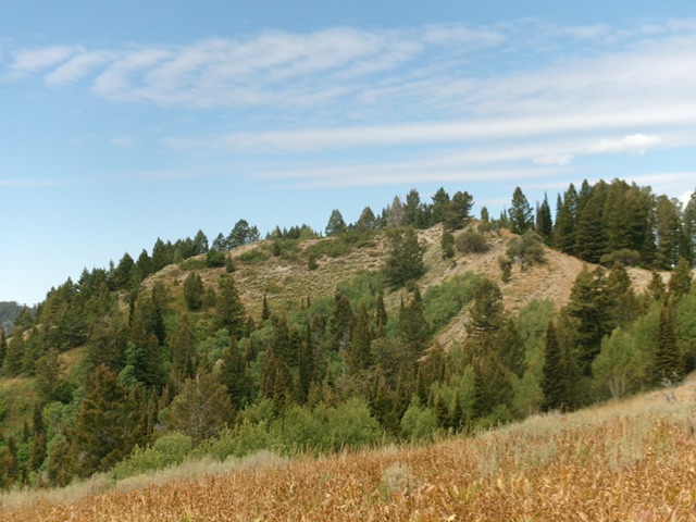
Fourth of July Peak (dead center) as viewed from the west-northwest, across Rainey Creek. Livingston Douglas Photo
Access
From ID-31 at Pine Creek Pass, drive south up signed FSR-253 for 4.9 miles to a signed junction with FSR-051. Park near this junction (6,590 feet) or drive about 100 yards east on FSR-051 and park in a pullout there.
Northwest Shoulder, Class 2
The Climb
This climb is mostly Class 1. From the road junction, hike about 100 yards east on FSR-051 to an open meadow. Look for a trail sign on a large pine tree on the far side of Rainey Creek. Ford Rainey Creek to reach its east side and the continuation of FSR-051 which is now FST-051, a hiking trail. Rainey Creek is shallow and wide with no footbridge or logs to help. FST-051 heads east then southeast up through a pine forest. It is poorly maintained, difficult to follow, and quite steep near the summit of Fourth of July Peak. Leave the trail when it crests to skirt the left/north side of the summit hump. Bushwhack up a veg slope to reach the small summit area. There is no summit cairn.
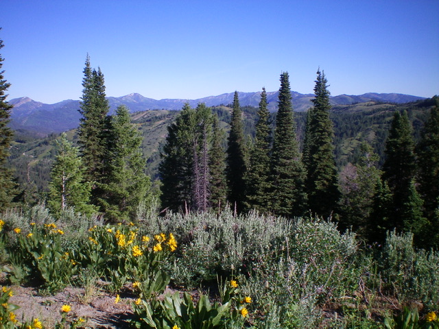
Summit view from atop Fourth of July Peak. Livingston Douglas Photo
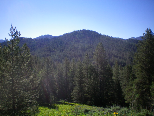
Fourth of July Peak as viewed from the east. Livingston Douglas Photo
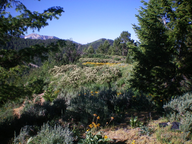
The colorful summit of Fourth of July Peak. Livingston Douglas Photo
Additional Resources
Mountain Range: Big Hole and Snake River Mountains
Longitude: -111.1722 Latitude: 43.5253