Elevation: 7,655 ft
Prominence: 148
Climbing and access information for this peak is on Page 106 of the book.
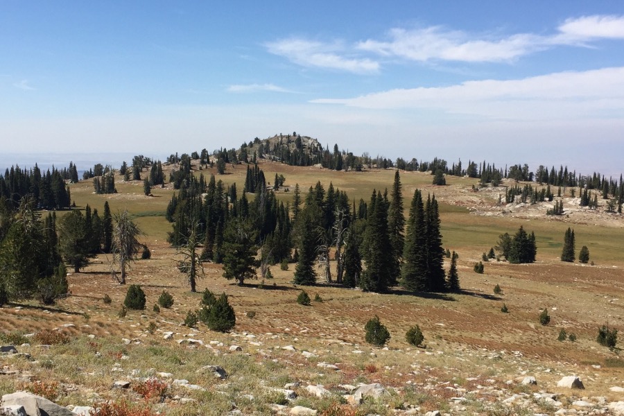
Gabes Peak is a minor, tooth-shaped summit found west of Granite Peak and the Snowbank Mountain Road. It is a great perch for surveying the Sierra Nevada-like meadows on the west side of the ridge crest. The country between Gabes Peak and Snowbank Mountain Road is mostly open and easy to traverse despite the fact that the trail system shown on the maps is either nonexistent or confused by multiple cattle trails. The trail that traverses the peak’s South Slopes can be found as you get closer to the summit. Climb the peak from the trail via its Southeast Slopes. Class 2. USGS Tripod Peak
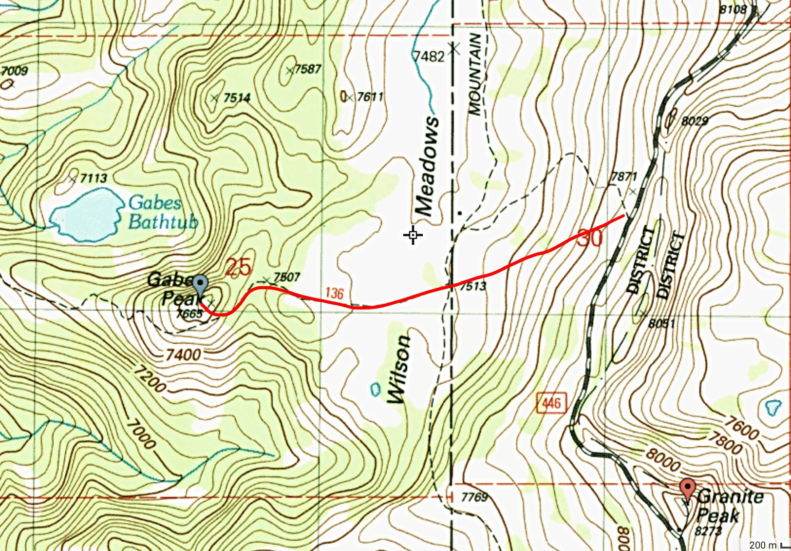
The approximate route of my ascent.
Gabes Peak as viewed from the east.
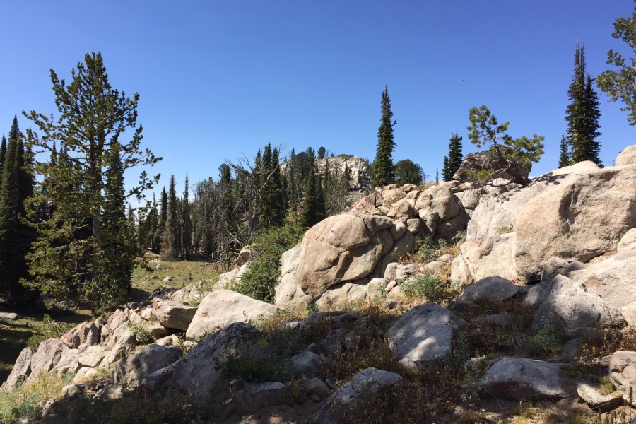
Approaching the summit on the trail.
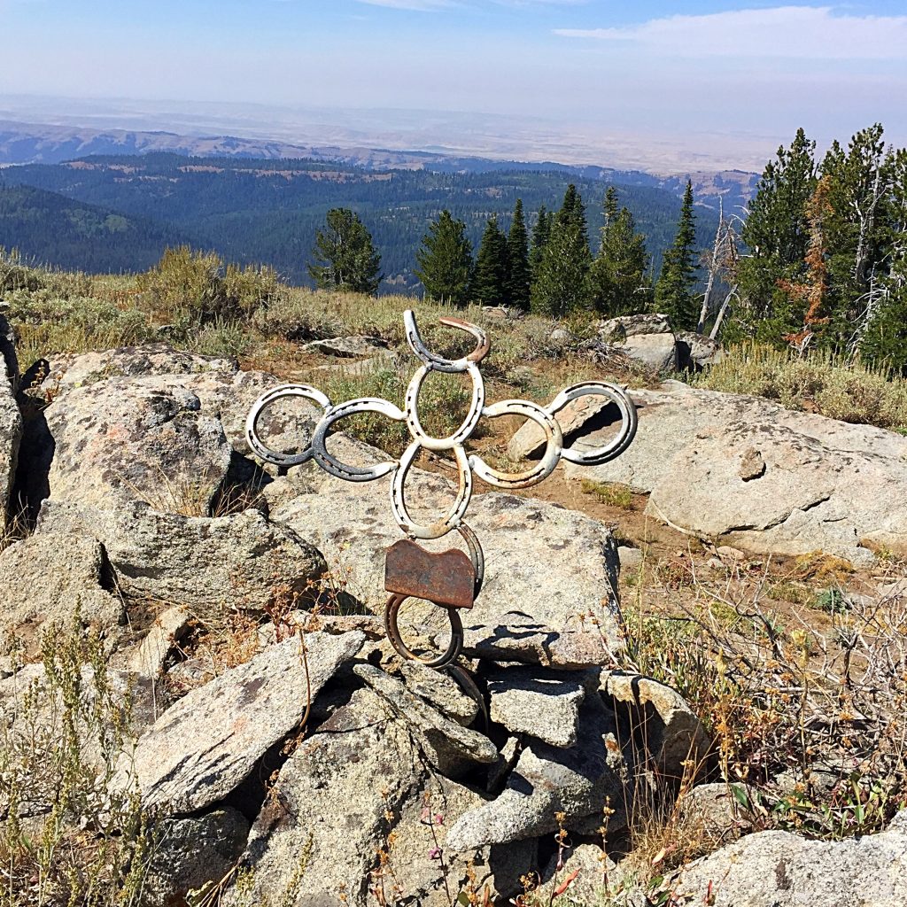
Artwork on the summit.
Additional Resources
Regions: West Mountains->WESTERN IDAHO
Mountain Range: West Mountains
Year Climbed: 2016
Longitude: -116.16349 Latitude: 44.43049