Elevation: 9,591 ft
Prominence: 306
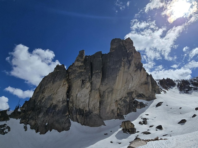
Climbing and access information for this peak is on Page 175 of the book. The location discussed below is based on Brian Westphal’s research. The exact location of a number of formations located above Redfish Lake Creek have been subject to conjecture. This is primarily because there were no USGS quadrangles available when the formations were first climbed. The map on page 174 has Grand Aiguille and Split Tooth reversed. The text description is correct. Published April 2026
The Grand Aiguille is located southeast of the Rhino Perch on the Heyburn Divide on a spur ridge that descends from the Heyburn Divide to Redfish Lake Creek. USGS Mount Cramer
Grand Aiguille, Kaden Platt Photo
Grand Aiguille, Class 5.4 (comfortable at 5.8) by Kaden Platt
Additional Resources
Regions: Heyburn Divide->Sawtooth Range->WESTERN IDAHO
Mountain Range: Sawtooth Range
First Ascent Information:
- First Ascent Year: 1946
- Season: Summer
- Route: Northwest Side (II, 5.4)
- Party: J. Hieb, w. Grande, R. Widrig and W. Graham Mathews
- Other First Ascent: South Face (II, 5.4)
- Year: 1962
- Season: Summer
- Party: Fred Beckey and Jerry Fuller
Longitude: -114.9386 Latitude: 44.09088