Elevation: 6,354 ft
Prominence: 254
This peak is not in the book. Published November 2023
Granite Mountain is a ridge hump on the long southeast ridge of Peak 9007 in the Bitterroot Mountains. It sits between Little Ditch Creek and the North Fork Salmon River. There is a service road to the fire lookout on the summit. USGS Gibbonsville
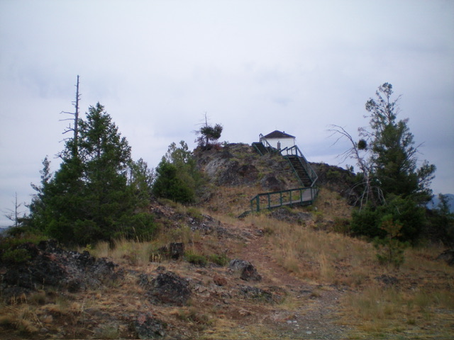
The summit hump of Granite Mountain. Livingston Douglas Photo
Access
From US-93 north of North Fork, turn left/west onto [signed] Hughes Creek Road/FSR-091. This junction is located 5.3 miles south of Gibbonsville Road and 5.3 miles north of North Fork. Reset your odometer at this junction. At 2.1 miles, reach a signed junction with Ditch Creek Road/FSR-089. Go right/north onto Ditch Creek Road and drive 3.7 miles to a signed junction with Granite Mountain Road/FSR-092. Turn right/east onto FSR-092 and drive 0.7 miles to a signed junction with FSR-131. Turn left/north onto FSR-131 and drive 0.2 miles to the parking area just below the fire lookout. Park here (6,315 feet).
West Face, Class 1
The Climb
From the parking area, hike up a trail then a wooden staircase to the fire lookout. This is the high point on Granite Mountain.
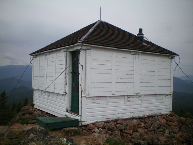
The fire lookout atop Granite Mountain. Livingston Douglas Photo
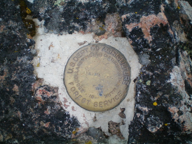
The USGS benchmark atop Granite Mountain. Livingston Douglas Photo
Additional Resources
Regions: Bitterroot Mountains->NORTHERN IDAHO
Mountain Range: Bitterroot Mountains
Longitude: -113.9807 Latitude: 45.5499