Elevation: 10,563 ft
Prominence: 1,223
Climbing and access information for this peak is on Page 252 of the book. Livingston Douglas added additional photos. Updated November 2022
Grays Peak is accessible earlier than most Pioneer Mountain peaks. It is often climbed from the Federal Gulch Campground via its West Ridge as described in the book. USGS Grays Peak
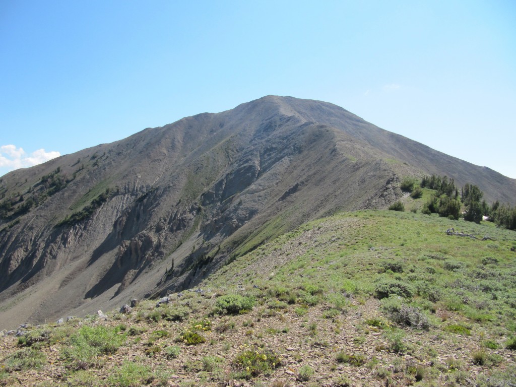
The summit ridge of Grays Peak. Margo Mandella Photo
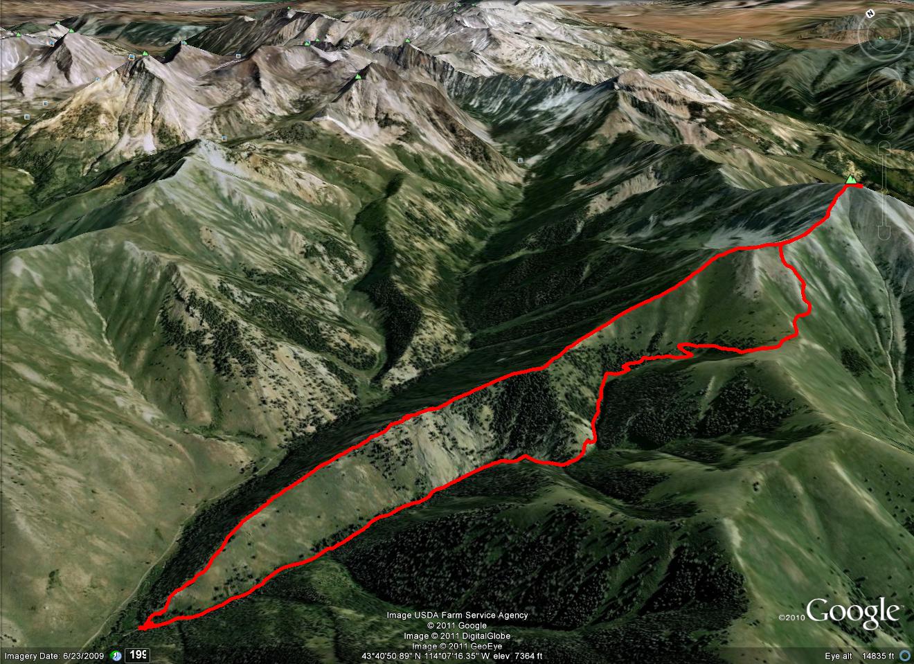
Margo Mandella’s GPS track.
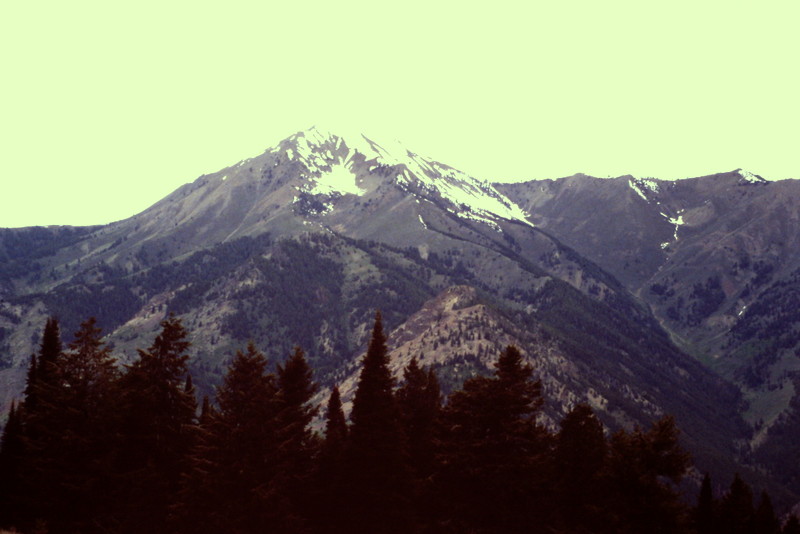
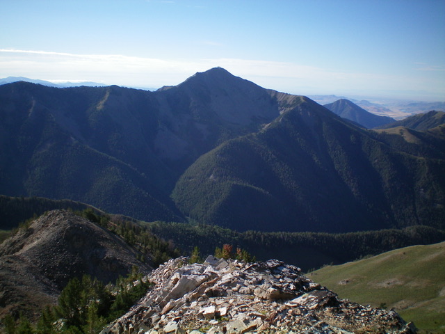
Grays Peak as viewed from Swede Peak.
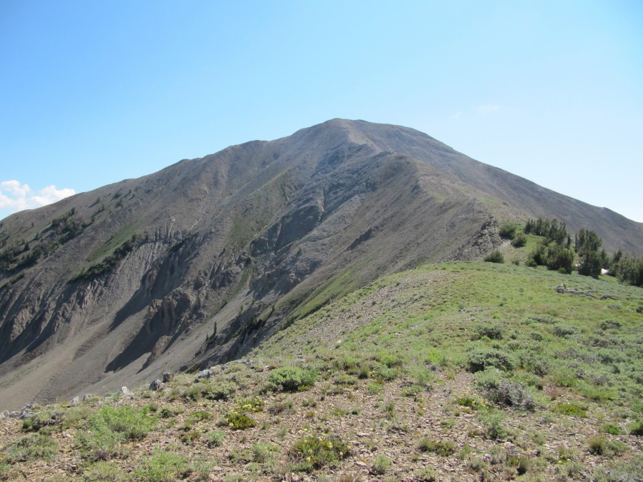
Photos of the West Ridge Route
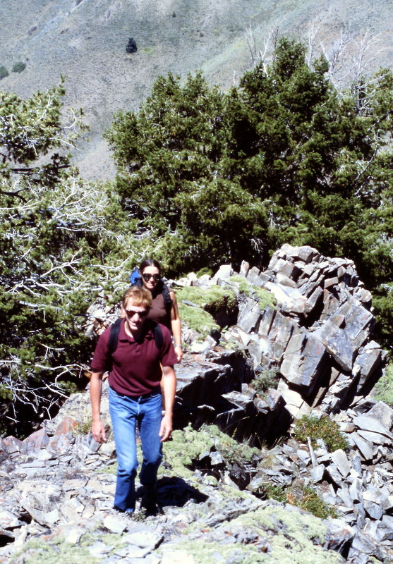
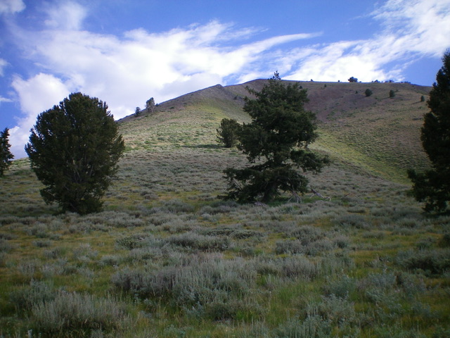
Hiking up the West Ridge.
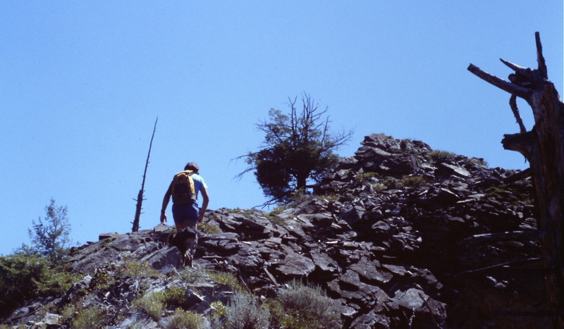
The West Ridge is all Class 2 terrain and is a bit steep at times.
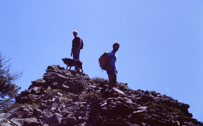
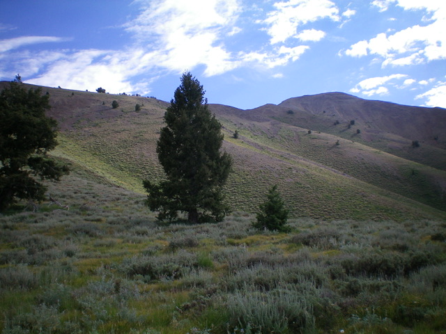
Grays Peak, a bit higher up the West Ridge.
Livingston Douglas Photos
Grays Peak (dead center) as viewed from Paymaster Peak (10,292 feet) to its northeast. Livingston Douglas Photo
Looking up the southwest spur of Grays Peak from the Federal Gulch Trail at the departure point on the saddle. The summit is to the right and is not in view. Livingston Douglas Photo
Grays Peak (summit is right of center) as viewed from the Federal Gulch Trail at the base of the southwest spur. Livingston Douglas Photo
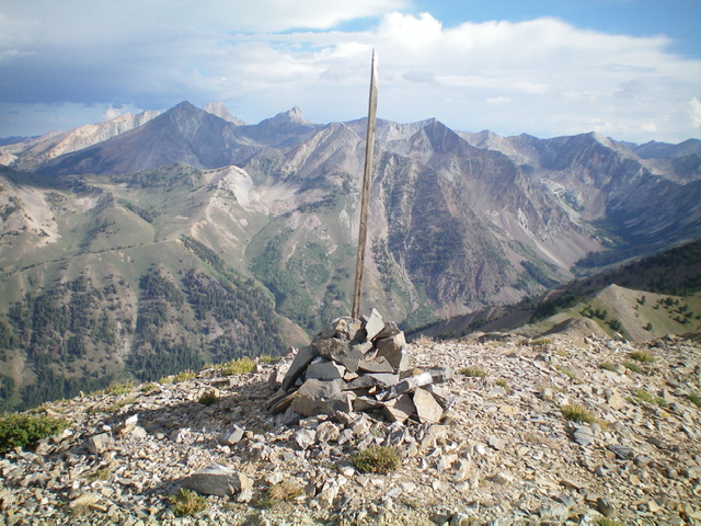
The summit cairn atop Grays Peak. Livingston Douglas Photo
Additional Resources