Elevation: 7,456 ft
Prominence: 556

This peak is not in the book. Published January 2023
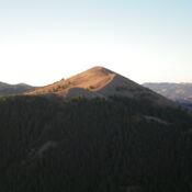
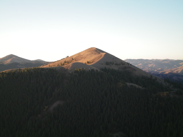
Hartley Peak is one of the few named summits in the Sublett Range. It is located at the north end of a ridgeline that sits on the east side of the North Fork Sublett Creek. Hartley Peak is most easily climbed from Hartley Canyon Road/FSR-578 to its west. USGS Hartley Peak
Access
Hartley Canyon Road/FSR-578 is located along ID-37 about 22 miles south of the I-86 junction and 22.6 miles north of the west end of Holbrook. It is also 2.0 miles south of Big Canyon Road. Turn right/west onto [signed] Hartley Canyon Road and reset your odometer. At 3.4 miles, go straight (not left) at an unsigned junction. At 4.3 miles, the road changes from smooth gravel to rutted dirt. At 4.8 miles, go straight (not left) at a junction. At 5.0 miles, go through a wire cattle gate. At about 6.0 miles, reach the Sawtooth National Forest boundary. At 7.8 miles, reach an unsigned junction at a fork in the canyon. Harley Canyon Road turns sharply left/south at this junction. At 8.7 miles, reach “Hartley Pass” where there is a triple [signed] road junction. Park on the pass (6,682 feet).
West Face, Class 2
The Climb
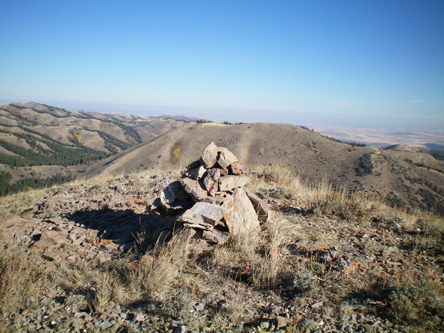
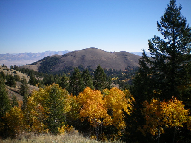
From Hartley Pass, bushwhack east up through a patch of dense aspens/pines with thick, tall underbrush to reach open terrain. Scramble steeply east-northeast up through tall, thick sagebrush to reach much shorter, easier sagebrush high up. The open summit had a modest cairn which I built up considerably. The summit offers splendid views of nearby Helene Peak to the north and Peak 7420 to the west. On the descent, the pass and Hartley Canyon Road are not visible. They are hidden by the thick pine forest. Aim at an open scrub hump on the far side of the pass on the descent and try to minimize the forested area that you must bushwhack to find the road/pass.

The large summit cairn atop Hartley Peak with Helene Peak in the background. Livingston Douglas Photo
Additional Resources
Regions: SOUTHERN IDAHO->Sublett Range
Mountain Range: Sublett Range
Longitude: -112.95001 Latitude: 42.40801

