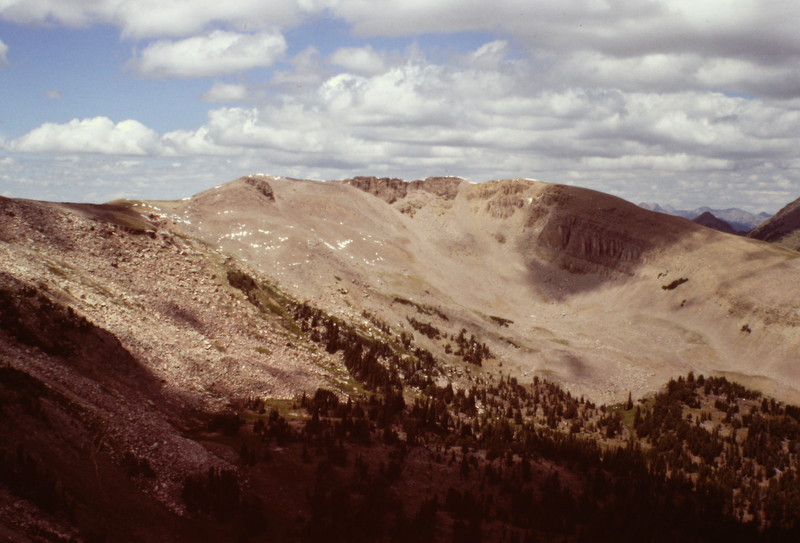
The Henrys Lake Range is a mixture of Paleozoic sedimentary rocks and volcanic materials, including rhyolite and basalt with some Precambrian metamorphic rocks thrown in for good measure. The range, which was forced up with the uplifting of the Rocky Mountains, has most recently been shaped by glaciation and the nearby Henrys Fork and Island Park calderas and the collapsed volcanoes that preceded them. One of these volcanoes covered more than 6,000 square miles of Idaho and Montana with red-hot ash and other materials. North Targhee Peak is the highest summit in the Idaho portion of the Henrys Lake Range.
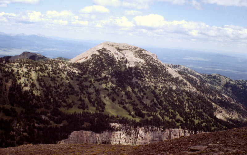
Bald Peak as viewed from Targhee Peak.
The Henrys Lake Range is located just west of Yellowstone National Park. As part of the greater Yellowstone ecosystem, it is prime habitat for grizzly bears. In fact, my climbing partners and I were charged by a young grizzly on the day the day we climbed Targhee Peak. We highly recommend that you visit the National Park Service’s Staying Safe Around Bears page before venturing into the Henrys Lake Range.
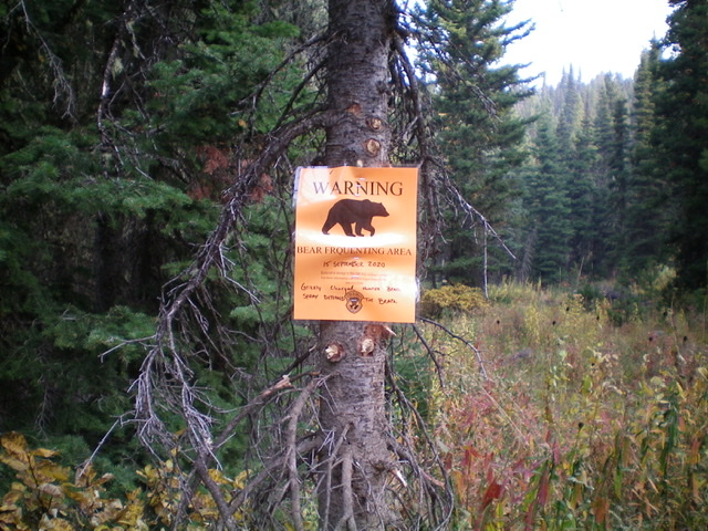
Grizzlies roam the Henrys Lake Range. Be alert and carry bear spray. Livingston Douglas Photo
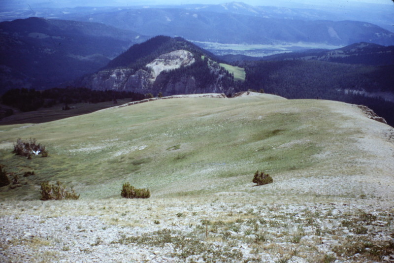
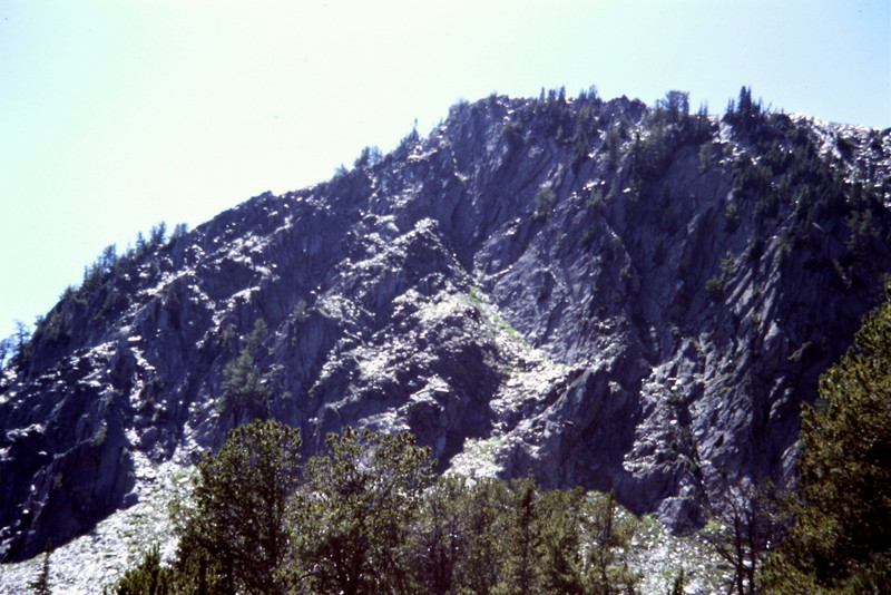
The Henrys Lake Range encompasses deep, grizzly-inhabited forest, towering cliffs and sweeping high ridges.
If you want to climb harder routes in the range, find one of the many cliffs to climb.
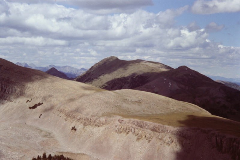
The Henrys Lake Range’s high country is very scenic.
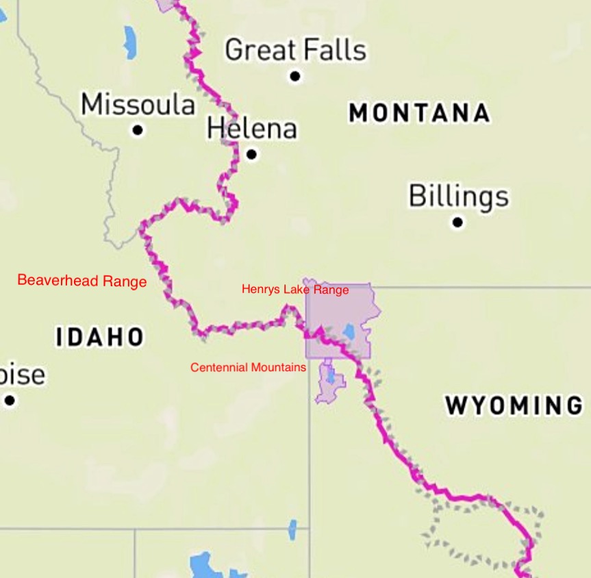
The Continental Divide Trail (CDT) straddles the Idaho Montana border for roughly 180 miles. The trail leaves Yellowstone National Park and travels generally westward through the Henrys Lake Range and then the Centennial Mountains to Monida Pass and I-15. From the pass, the trail heads west and then north through the Beaverhead Mountains.