Elevation: 5,410 ft
Prominence: 60

This peak is not in the book. Published November 2023
Hollow Top is located in Laidlaw Park in the remote southwest section of Craters of the Moon National Monument. It is a very short hike from the road that leads northeast to Snowdrift Crater. USGS North Laidlaw Butte
Hollow Top (dead center) as viewed from the north on Snowdrift Crater Road. Livingston Douglas Photo
Access
From US-20 east of Carey, turn right/south onto [signed] North Laidlaw Road. This junction is 0.2 miles west of Fish Creek Road, which is well-signed. Drive south on North Laidlaw Road for 1.2 miles to an unsigned “T” junction. This is Laidlaw Park Road. It can also be approached directly from farther west on US-20 and the road quality should be fine. Turn left/southeast onto Laidlaw Park Road and drive 13.6 miles to reach a signed 4-way junction (5,078 feet on the USGS map).
From this junction, turn left/north and drive just over 0.1 miles to cross a cattle guard. Just past the cattle guard, the road forks. Ant Butte is to the left. Go right/northeast here to stay on the main road. Continue driving northeast then north on the road for 4.4 miles. Hollow Top is to the right. Park here (5,400 feet; 43⁰19’10”N, 113⁰35’07”W).
West Face, Class 2
The Climb
From the roadside pullout (which isn’t much of one), scramble southeast up easy, short scrub to the bare summit area. There is no summit cairn nor any loose rocks with which to build one. Hollow Top is a very insignificant hump and requires only 30 feet of uphill from the road.
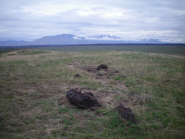
The gentle summit of Hollow Top. Livingston Douglas Photo
Additional Resources