Elevation: 11,664 ft
Prominence: 604
Climbing and access information for this peak is on Pages 237-238 of the book. The Northwest Ridge and South Ridge Routes are discussed in the book. Derek Percoski provides route information for the ragged Southeast Ridge as well as a photo for the Southeast Ridge. Updated December 2019
Kent Peak is located just east of Ryan Peak. Two routes to its rubble-covered summit are found in the book. USGS Ryan Peak

Kent Peak
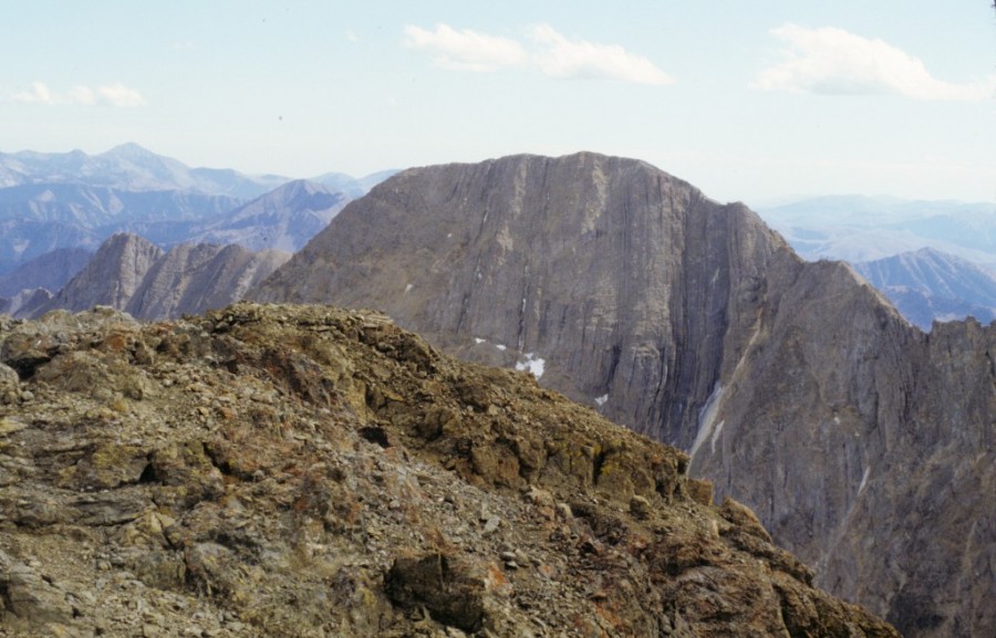
Kent Peak as viewed from Ryan Peak.
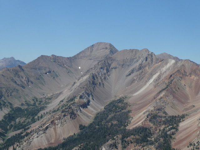
Southeast Ridge, Class 3+ by Derek Percoski
Access
North Fork Big Lost River Road [(B)(2) on Page 242]. Hike cross-country to the Kent Peak/Perkins Peak saddle.
The Climb
Compared to the pleasantly-rounded South Ridge, the Southeast Ridge has more of a knife-edged feel atop broken rock. The crux comes right away—a tower section that should be skirted on the North Side of the ridge. The terrain here is very steep and, although there are plenty of holds and small shelves, they are all sprinkled with broken rock. Once you regain the ridge, there is another tower at 11,300 feet. You can scramble straight up and over it or skirt around the the tower’s South Side.
The Southeast Ridge as viewed from partway up Perkins Peak. Derek Percoski Photo
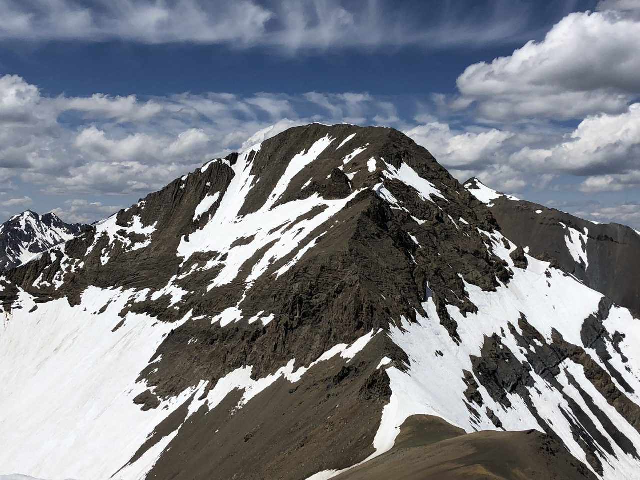
Kent Peak viewed from Hemingway Peak.
Additional Resources